2010s Maps of Madison County, Tennessee
Explore 72 historic maps of Madison County from the 2010s. These maps offer a rare glimpse into what life looked like during the 2010s — showing old roads, neighborhoods, homes, and landmarks that have changed or disappeared over time.
Whether you're researching your family's past, planning a metal detecting trip, or studying how Madison County's landscape evolved across the 2010s, these high-resolution maps are a powerful tool for exploring the history of this region.
- Focus on a specific era: All maps on this page are from the 2010s, giving you a focused view of this time period.
- See what’s changed: Compare century-old streets, trails, and buildings to today's modern landscape using overlays and satellite layers.
- Research with precision: Use these maps for genealogy, historical research, land use analysis, or educational projects.
- View, download, or print: Maps are fully viewable online in high resolution, and can be downloaded or printed for your own records.
Start exploring Madison County's history through authentic maps from the 2010s. This is your window into the past.
Madison County, TN maps
(72)- 2010 Map of Bells, 2010 Print
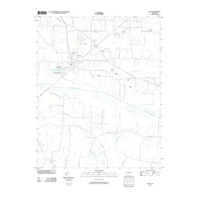 2010 Bells2010 Print · USGSCrockett County at the start of the 2010s shows a landscape deeply rooted in its family history and river-bottom geography. Genealogists can trace dozens of local burial sites like Bellevue Cemetery and Powell Cemetery along the banks of the South Fork Forked Deer River.
 - 2010 Map of Teague, 2010 Print
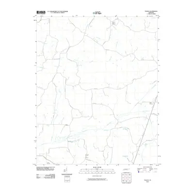 2010 Teague2010 Print · USGSWestern Tennessee’s rural landscape is captured here in the early twenty-first century, showing a region defined by its creek bottoms and family-run farms. Researchers can locate ancestral resting places at Vernon Cemetery or Yarbrough Cemetery and trace the winding course of Clover Creek.
 - 2010 Map of Humboldt, 2010 Print
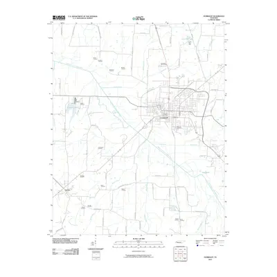 2010 Humboldt2010 Print · USGSHumboldt and the western reaches of the Forked Deer River valley are captured here at the start of the millennium. Genealogists and local historians can trace family ties through over a dozen rural burial grounds, including Rose Hill Cemetery, Oak Hill Cemetery, and the McLeary Cemetery.
 - 2010 Map of Beech Bluff, 2010 Print
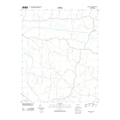 2010 Beech Bluff2010 Print · USGSMadison County at the turn of the decade reflects a deeply rooted rural community shaped by the forks of the North Fork Forked Deer River. Researchers can trace local lineage through named landmarks like Beech Bluff Post Office and John Brown Rd.
 - 2010 Map of Jackson North, 2010 Print
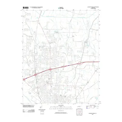 2010 Jackson North2010 Print · USGSMadison County at the turn of the decade shows the expanding northern footprint of Jackson as residential neighborhoods meet established family land. Genealogists and historians can trace local roots at Hicks Cemetery or locate the Oakfield Post Office near Dyer Creek.
 - 2010 Map of Adair, 2010 Print
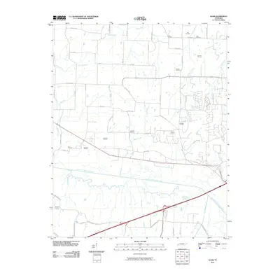 2010 Adair2010 Print · USGSMadison County at the turn of the millennium shows a landscape defined by its deep-rooted family history and the South Fork Forked Deer River. Genealogists can trace early homesteads through numerous burial sites like Bethlehem Cemetery, Lacy Cemetery, and McClellan Cemetery.
 - 2010 Map of Spring Creek, 2010 Print
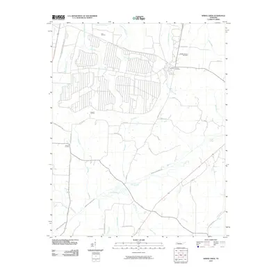 2010 Spring Creek2010 Print · USGSThe rural Tennessee landscape around Spring Creek and Lavinia is captured here in the early twenty-first century. Family researchers can pinpoint exact locations of Elam Cemetery, Hopewell Cemetery, and the Lavinia Post Office near the Middle Fork Forked Deer River.
 - 2010 Map of Medon, 2010 Print
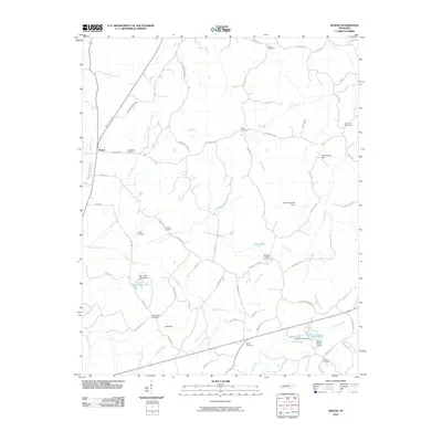 2010 Medon2010 Print · USGSMedon and its surrounding Madison County countryside are shown here in the early twenty-first century, characterized by a complex network of creeks and rural family homesteads. Researchers can trace local lineage through numerous burial sites including Butler Cemetery and Big Springs Cemetery, or locate old landmarks like King Dam and Little Piney Creek Camp.
 - 2010 Map of Denmark, 2010 Print
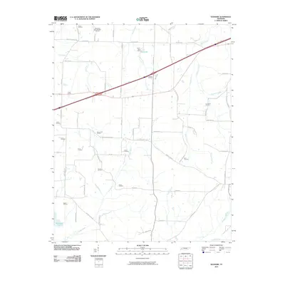 2010 Denmark2010 Print · USGSHaywood County is documented here in the early twenty-first century, showcasing a rural Tennessee landscape defined by small cemeteries and winding creek branches. Researchers can trace ancestral lands through numerous legacy sites such as Norvell Cemetery, Currie Cemetery, and Tyson Lake.
 - 2010 Map of Luray, 2010 Print
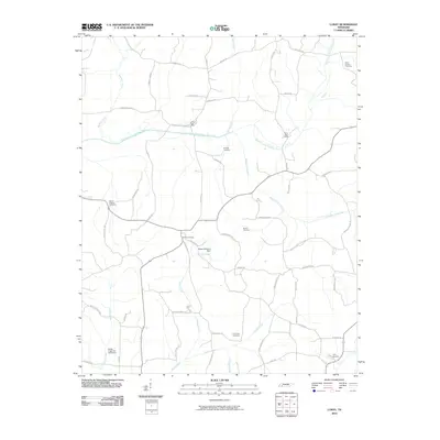 2010 Luray2010 Print · USGSHenderson County remains a landscape of river forks and rural crossroads in the early twenty-first century. Researchers can trace family history through numerous burial sites like Buckley Cemetery or locate the historic Luray Post Office and Huron Post Office.
 - 2010 Map of Westover, 2010 Print
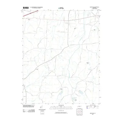 2010 Westover2010 Print · USGSThe Westover area of West Tennessee is captured here in the early twenty-first century, showcasing a rural landscape defined by its waterways and family-named roads. Genealogists and local historians can trace locations like Lane Chapel Cemetery, Camp Benson, and Burkitt Siding.
 - 2010 Map of Mercer, 2010 Print
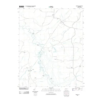 2010 Mercer2010 Print · USGSMadison County's river lowlands are captured here in the early twenty-first century as the Hatchie River meanders through a landscape of wetlands and old ferry sites. Researchers can trace several family-named landmarks and historic burial grounds, including Vison Cemetery, Simmons Cemetery, and McCartys Landing.
 - 2010 Map of Medina, 2010 Print
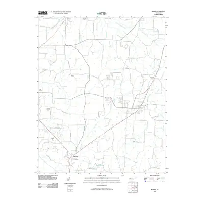 2010 Medina2010 Print · USGSThe West Tennessee countryside around Medina and Gibson is captured here during a period of steady rural development. Genealogists and local historians can trace family roots through numerous sites like White Rose Cemetery and Rush Cemetery near the banks of Turkey Creek.
 - 2010 Map of Henderson, 2010 Print
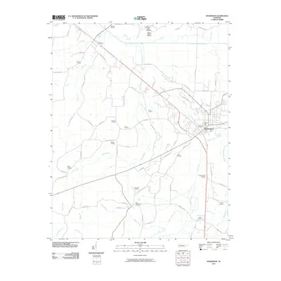 2010 Henderson2010 Print · USGSHenderson and the surrounding Chester County countryside appear in great detail during the early twenty-first century. Researchers can trace family history through numerous rural burial sites like Hearn Chapel Cemetery and Montezuma Cemetery, or explore the prehistoric Pinson Indian Mounds.
 - 2010 Map of Claybrook, 2010 Print
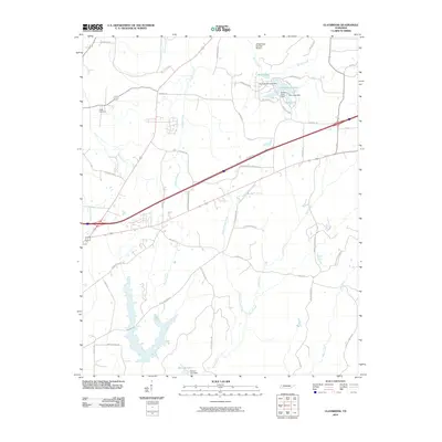 2010 Claybrook2010 Print · USGSMadison County at the turn of the decade reveals a rural landscape interlaced with managed waterways and family-named roads. Genealogists and local historians can locate Salem Cemetery and trace the paths of Cotton Grove Creek or the development around Springbrook Lake.
 - 2010 Map of Cedar Grove, 2010 Print
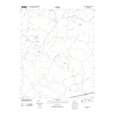 2010 Cedar Grove2010 Print · USGSThe rural landscape of Carroll County is captured here in the early twenty-first century, showing a community shaped by its waterways and family histories. Genealogists can trace the locations of the Cedar Grove Post Office, Morning Sun Cemetery, and the Mount Gilead Lookout Tower.
 - 2010 Map of Juno, 2010 Print
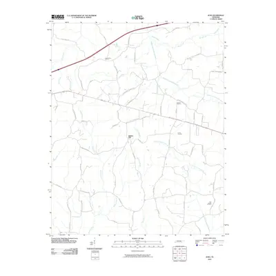 2010 Juno2010 Print · USGSHenderson County, Tennessee, is captured here at the beginning of the 2010s, showcasing a rural landscape defined by the Forks of the Forked Deer River. Genealogists and local historians can trace family ties at Hamlet Cemetery and Independence Cemetery or follow the paths of Old Jackson - Lexington Rd.
 - 2010 Map of Jackson South, 2010 Print
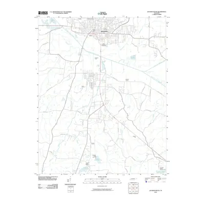 2010 Jackson South2010 Print · USGSJackson and its southern suburbs are captured here at a moment of significant 21st-century growth along the South Fork Forked Deer River. Genealogists and local historians can trace legacy sites like Hollywood Cemetery or the West Tennessee Fairgrounds and explore the rail infrastructure of the Frogmoor Yards.
 - 2013 Map of Medon, 2013 Print
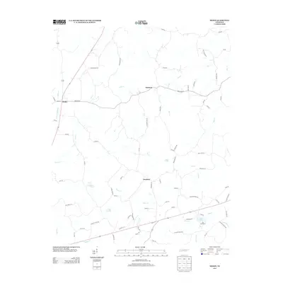 2013 Medon2013 Print · USGSMedon and its surrounding Madison County rural communities are captured here in the early 2010s. Researchers can trace family names and local landmarks through features like Mays Cemetery Rd, Deanburg, and the recreational grounds of Chickasaw State Park.
 - 2013 Map of Luray, 2013 Print
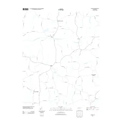 2013 Luray2013 Print · USGSHenderson County, Tennessee, is captured here in the early 2010s, showing a landscape defined by the winding N Fork Forked Deer River and its many creeks. Researchers can trace rural settlement patterns through communities like Luray and Mifflin, or locate family history near Russell Crossroads and Huron.
 - 2013 Map of Beech Bluff, 2013 Print
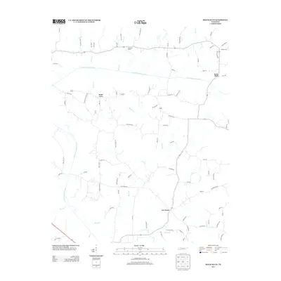 2013 Beech Bluff2013 Print · USGSMadison County's rural landscape is captured here in the early twenty-first century as it sits between the forks of the Forked Deer River. Researchers can trace local property access and small communities like Beech Bluff, Maple Grove, and the aviation hub at Southfork Airport.
 - 2013 Map of Spring Creek, 2013 Print
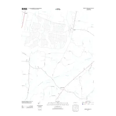 2013 Spring Creek2013 Print · USGSMadison County's agricultural heartland is documented here in the early twenty-first century as the Middle Fork Forked Deer River flows past historic crossroads. Researchers can trace family-named routes and old sites like Latham Chapel Rd, Old Mill Rd, and the community of Graball.
 - 2013 Map of Teague, 2013 Print
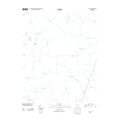 2013 Teague2013 Print · USGSSettlement in this corner of Hardeman County in the early twenty-first century is centered on the small communities of Teague and Uptonville. Researchers can trace the legacy of early river crossings and rural commerce via Steam Mill Ferry Rd and family-named landmarks like Marshall Chapel Rd.
 - 2013 Map of Mercer, 2013 Print
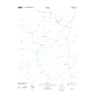 2013 Mercer2013 Print · USGSMadison County's river-fed lowlands are captured here in the early twenty-first century, showing a landscape shaped by the Hatchie River. Trace the connections between local hamlets and landmarks like Mercer, Old Ferry Landing, and Sturdivant Crossing.
 - 2013 Map of Denmark, 2013 Print
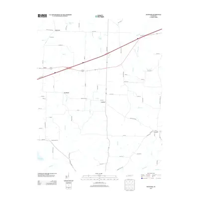 2013 Denmark2013 Print · USGSIn West Tennessee during the early 2010s, this area shows a landscape of long-established rural settlements and agricultural routes. Genealogists and historians can trace family land around Denmark, Wellwood, and the waters of Mud Creek Lake or Cypress Cr.
Showing maps 1-25 of 72
Top cities of Madison County
Frequently asked questions
- What are the different types of historical maps available for Madison County?
- What is the oldest map of Madison County?
- Where can I purchase historical maps of Madison County for my home or office?
- Where can I download high-res historical maps of Madison County?
- Are there historical topographic maps available for Madison County?
- Is there historical aerial imagery available for Madison County?
- Where are historical maps of Madison County sourced from?