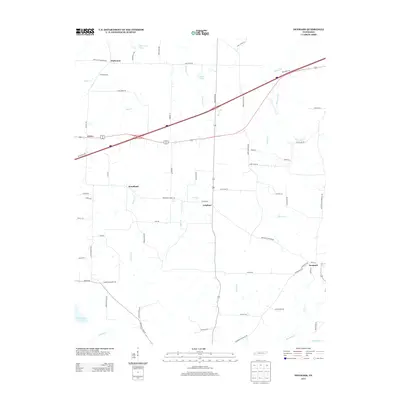
2013 Map of Denmark
USGS Topo · Published 2013About this map
Denmark anchors the southeastern corner of this Haywood County landscape, a rural territory defined by scattered communities and a complex drainage network. Small hubs like Wellwood, Leighton, and Woodland are connected by a grid of local routes such as Dickerson Rd and Denmark Leighton Rd, illustrating a post-war pattern of dispersed agricultural settlement. The topography is shaped by numerous watercourses, including the meandering Cypress Cr and the larger Big Black Cr to the south. Notable water features like Mud Creek Lake, Tyson Lake, and Brickyard Pond dot the terrain, while the Batchelor Levee Rd suggests historical efforts to manage the wetlands along Jeffers Cr. This survey provides a clear view of the rural infrastructure of West Tennessee as it transitioned into the early 21st century.
Find a feature on this map
69 named features on this map. Tap any name to fly to it.
Don’t see what you’re looking for? This feature index may not catch every label — zoom into the map to look around manually.
Map Details
Editions of this 2013 Denmark Map
This is the sole edition of this map. No revisions or reprints were ever made.
Other maps of this area

1950 · Sunnyhill
USGS Topo · 1:24,000

1951 · Sunnyhill
USGS Topo · 1:24,000

1956 · Blytheville
USGS Topo · 1:250,000

1959 · Blytheville
USGS Topo · 1:250,000

1959 · Bells
USGS Topo · 1:24,000

1959 · Westover
USGS Topo · 1:24,000

1959 · Denmark
USGS Topo · 1:24,000

1959 · Adair
USGS Topo · 1:24,000

1959 · Hillville
USGS Topo · 1:24,000

1961 · Jones
USGS Topo · 1:24,000