Old Maps of Farmington, Tennessee for Metal Detecting
Plan your next treasure hunt with 10 historic maps of Farmington. Find old homesites, ghost towns, trails, and gathering spots that may be lost to time — perfect for identifying promising metal detecting locations.
- Locate forgotten sites: Uncover places like long-lost settlements, abandoned rail lines, or gathering spots.
- Plan better hunts: Use map overlays combined with LiDAR or satellite views to narrow in on historically rich areas.
- Made for detectorists: Thousands of hobbyists use these maps to discover relics, coins, and hidden history.
Use these historic maps to boost your research and find new opportunities beneath the surface of Farmington.
Farmington, TN maps
(10)- 1936 Map of Farmington
 1936 Farmington1936 Print · USGSMarshall County rural life in the mid-1930s is defined by the winding Duck River and a network of family-run farms. Researchers can trace ancestral locations near Wilhoite Mills, Rock Creek Ch, and family burial sites like Thomas Cem.
 - 1944 Map of Shelbyville
 1944 Shelbyville1944 Print · USGSMid-century Middle Tennessee is captured here during the wartime mobilization of the 1940s. Genealogists and researchers can trace family lands near Bugscuffle, Shelbyville Mills, and the expansive Camp Forrest Military Res.
 - 1947 Map of Farmington, 1948 Print
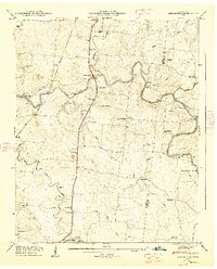 1947 Farmington1948 Print · USGSThe Duck River and the Louisville and Nashville RR shape this Marshall County landscape in the late 1940s. Genealogists can locate family names at Wilhoite Cem or trace the river at White Ford and Wilhoite Mills.4 unique versions available
 - 1956 Map of Columbia, 1960 Print
 1956 Columbia1960 Print · USGSMiddle Tennessee in the mid-fifties presents a landscape of established river towns and critical rail hubs before the arrival of the modern interstate system. Researchers can trace the routes of the Louisville and Nashville railroad or locate historic landmarks like Stones River National Military Park and the Tennessee National Wildlife Refuge.6 unique versions available
 - 1985 Map of Murfreesboro, 1986 Print
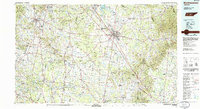 1985 Murfreesboro1986 Print · USGSMiddle Tennessee in the mid-1980s shows a landscape of growing towns and deep-rooted rural outposts. Local researchers can trace old family lines near Bell Buckle, locate landmarks like Donnel Chapel, or explore the grounds of Henry Horton State Park and Hoovers Gap.
 - 2010 Map of Farmington, 2010 Print
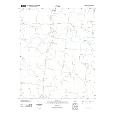 2010 Farmington2010 Print · USGSChapel Hill and the surrounding Marshall County farmland are captured here in the early twenty-first century as the area maintained its deep-rooted rural character. Genealogists can trace family lines through dozens of named sites like Wilhoite Cemetery or locate historic river crossings at Shearin Ford and Tucker Ford.
 - 2013 Map of Farmington, 2013 Print
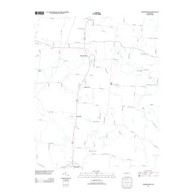 2013 Farmington2013 Print · USGSMarshall County's rural landscape is captured here in the early twenty-first century, centered on the river-bend communities and historic crossings. Genealogists can trace family names through landmarks like Wilhoite Mills, Laws Hill, and Shearin Ford along the Duck River.
 - 2016 Map of Farmington, 2016 Print
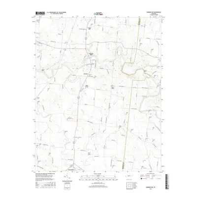 2016 Farmington2016 Print · USGSCentral Tennessee farmland and river bottoms are documented here in the mid-2010s. Genealogists can trace family names across dozens of local burial sites including Laws Cem and Bethbirei Cem, or explore the small communities of Wilhoite Mills and Smyrna.
 - 2019 Map of Farmington, 2019 Print
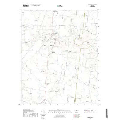 2019 Farmington2019 Print · USGSThe Duck River valley in Middle Tennessee comes into focus here, showing the rural landscape between Chapel Hill and Farmington in the late 2010s. Genealogists can trace dozens of family cemeteries like Swanson Cem or find historic sites like Wilhoite Mills and Bethbirei Cem.
 - 2022 Map of Farmington, 2022 Print
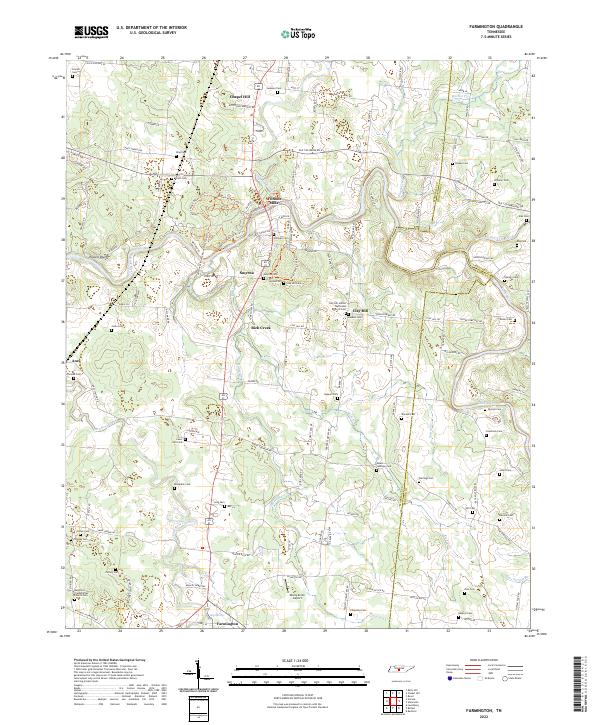 2022 Farmington2022 Print · USGSThis part of Marshall County comes into focus through its river-bottom settlements and upland farms. Genealogists can trace family footprints through dozens of rural landmarks, from Wilhoite Mills to the Bethbirei Presbyterian Church Cem.
End of results
Showing maps 1-10 of 10
Top cities near Farmington
- Columbia historical maps
- Spring Hill historical maps
- Shelbyville historical maps
- Lewisburg historical maps
- Chapel Hill historical maps
- Cornersville historical maps
See more
Frequently asked questions
- What are the different types of historical maps available for Farmington?
- What is the oldest map of Farmington?
- Where can I purchase historical maps of Farmington for my home or office?
- Where can I download high-res historical maps of Farmington?
- Are there historical topographic maps available for Farmington?
- Is there historical aerial imagery available for Farmington?
- Where are historical maps of Farmington sourced from?