Old Maps of Scotts Mill, Tennessee for Metal Detecting
Plan your next treasure hunt with 9 historic maps of Scotts Mill. Find old homesites, ghost towns, trails, and gathering spots that may be lost to time — perfect for identifying promising metal detecting locations.
- Locate forgotten sites: Uncover places like long-lost settlements, abandoned rail lines, or gathering spots.
- Plan better hunts: Use map overlays combined with LiDAR or satellite views to narrow in on historically rich areas.
- Made for detectorists: Thousands of hobbyists use these maps to discover relics, coins, and hidden history.
Use these historic maps to boost your research and find new opportunities beneath the surface of Scotts Mill.
Scotts Mill, TN maps
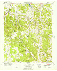
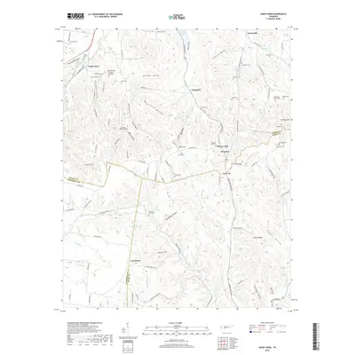
(9)- 1936 Map of Sandy Hook
 1936 Sandy Hook1936 Print · USGSThe rural borders of Maury and Giles counties are captured in the mid-thirties as a landscape of small ridges and rail-connected hamlets. Genealogists can trace family names and local landmarks like Scotts Mill, Jonestown, and Ettaton Sch before modern development changed these hills.
 - 1951 Map of Sandy Hook, 1956 Print
 1951 Sandy Hook1956 Print · USGSSouthern Maury County and neighboring Giles and Lawrence counties were dominated by phosphate mining and rail transit in the early fifties. Genealogists and historians can trace the foundations of local life through the L and N RR, rural strip mines, and community landmarks like Willis Chapel and Scotts Mill.2 unique versions available
 - 1956 Map of Columbia, 1960 Print
 1956 Columbia1960 Print · USGSMiddle Tennessee in the mid-fifties presents a landscape of established river towns and critical rail hubs before the arrival of the modern interstate system. Researchers can trace the routes of the Louisville and Nashville railroad or locate historic landmarks like Stones River National Military Park and the Tennessee National Wildlife Refuge.6 unique versions available
 - 1985 Map of Lawrenceburg
 1985 Lawrenceburg1985 Print · USGSMiddle Tennessee and Northern Alabama are captured in the mid-1980s, showcasing a landscape of high ridges and winding river valleys. Genealogists and historians can trace rail lines like the Seaboard System Railroad or locate community landmarks such as Saint Marys Church and Three Churches.2 unique versions available
 - 2010 Map of Sandy Hook, 2010 Print
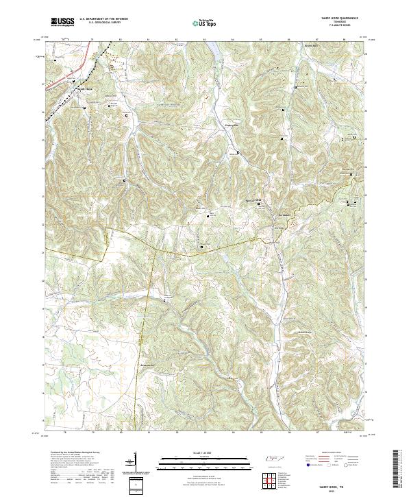
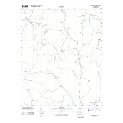 2010 Sandy Hook2010 Print · USGSCovers Scotts Mill, including Jonestown, Screamer, and other nearby areas
 - 2013 Map of Sandy Hook, 2013 Print
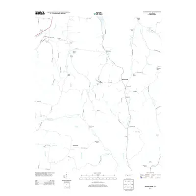 2013 Sandy Hook2013 Print · USGSCovers Scotts Mill, including Jonestown, Screamer, and other nearby areas
 - 2016 Map of Sandy Hook, 2016 Print
 2016 Sandy Hook2016 Print · USGSCovers Scotts Mill, including Jonestown, Screamer, and other nearby areas
 - 2019 Map of Sandy Hook, 2019 Print
 2019 Sandy Hook2019 Print · USGSCovers Scotts Mill, including Jonestown, Screamer, and other nearby areas
 - 2022 Map of Sandy Hook, 2022 Print
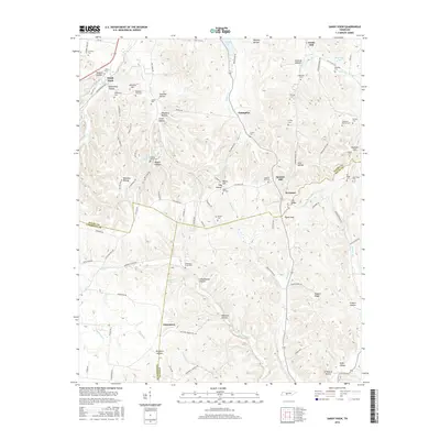
 2022 Sandy Hook2022 Print · USGSMiddle Tennessee rural life at the borders of Maury, Lawrence, and Giles Counties is meticulously preserved in this recent survey. Genealogists and historians can locate family-named burial sites like Sheepneck Cem, trace the historic N Old Military Rd, and find old landmarks like Scotts Mill.
End of results
Showing maps 1-9 of 9
Top cities near Scotts Mill
- Columbia historical maps
- Spring Hill historical maps
- Lawrenceburg historical maps
- Mount Pleasant historical maps
- Ethridge historical maps
- Lynnville historical maps
See more
Frequently asked questions
- What are the different types of historical maps available for Scotts Mill?
- What is the oldest map of Scotts Mill?
- Where can I purchase historical maps of Scotts Mill for my home or office?
- Where can I download high-res historical maps of Scotts Mill?
- Are there historical topographic maps available for Scotts Mill?
- Is there historical aerial imagery available for Scotts Mill?
- Where are historical maps of Scotts Mill sourced from?