Old Maps of McNairy County, Tennessee for Academic Research
Study the evolution of McNairy County with 156 high-resolution historic maps. Whether you're teaching, researching, or modeling changes in land use, these maps provide essential visual documentation of urban, environmental, and geographic change.
- Analyze long-term change: Track patterns in development, transportation, and natural features.
- Ideal for environmental or urban studies: Support academic projects with primary historical map data.
- Use in the classroom or lab: Educators and researchers rely on these maps to bring historical context to life.
These maps are a powerful tool for teaching, research, and visualizing how McNairy County has changed over the decades.
McNairy County, TN maps
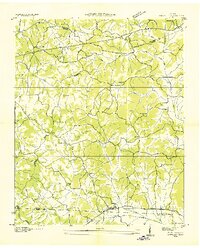
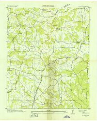
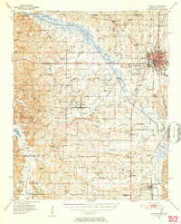
(156)- 1936 Map of Counce
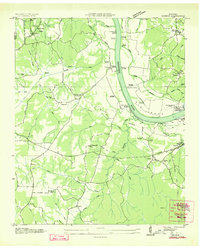 1936 Counce1936 Print · USGSHardin County was in the midst of a massive transformation in the mid-1930s as the TVA began modernizing the river. Genealogists can locate family landmarks like Roberts Cem, Childers Hill Hamburg PO, and the Shady Grove Cem.
 - 1936 Map of Kendrick
 1936 Kendrick1936 Print · USGSAlcorn County and the Tennessee borderlands are captured here in the mid-1930s as the TVA began modernizing the region. Local historians can trace family roots through sites like Barnes Chapel, Field Sch, and the community of Kendrick.
 - 1936 Map of Leapwood
 1936 Leapwood1936 Print · USGSMcNairy County communities and Tennessee Valley Authority power projects are captured here in the mid-1930s. Trace local family history through numerous schools and churches like Leapwood Sch, Mars Hill Ch, and Hardin Beauty Sch.
 - 1936 Map of Sardis
 1936 Sardis1936 Print · USGSWest Tennessee rural life is documented here during the mid-1930s as the regional electrical grid began to expand across the landscape. Genealogists and local historians can locate early landmarks such as Taylors Store, New Hurricane Ch, and the Tri County Sch near the county lines.
 - 1936 Map of Milledgeville
 1936 Milledgeville1936 Print · USGSNear the Tennessee River in the mid-1930s, this area of West Tennessee reveals a landscape shaped by river landings and extensive drainage projects. Genealogists and historians can trace community roots through Sweeney Cem, Morris Chapel, and schools like Rock Spring Sch.
 - 1936 Map of Enville
 1936 Enville1936 Print · USGSThe crossroads of West Tennessee are captured here in the mid-1930s as rural life centered on local schools and churches. Researchers can pinpoint long-standing community hubs like Enville, Pleasant Hill Ch, and the Cherry Cem.
 - 1936 Map of Pittsburg Landing
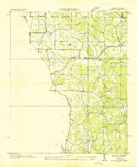
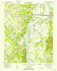
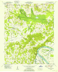
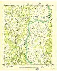 1936 Pittsburg Landing1936 Print · USGSHardin County during the mid-1930s shows a landscape defined by the Tennessee River and the grounds of Shiloh National Military Park. Researchers can trace early river crossings like Pittsburg Ferry and find vanished landmarks like CCC Camp No 2425.
 - 1936 Map of Purdy
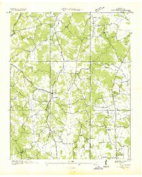
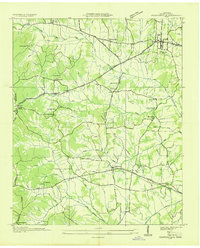
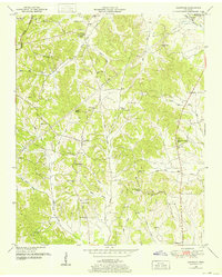
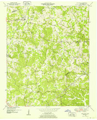
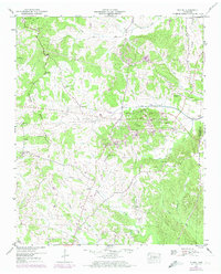
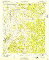
 1936 Purdy1936 Print · USGSMcNairy County during the mid-thirties is documented here as the Tennessee Valley Authority began mapping the region's drainage and road networks. Researchers can trace the early path of Highway 64 and the settlement of Purdy along the Tennessee Basin Divide.
 - 1936 Map of Stantonville
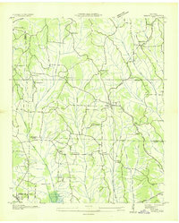
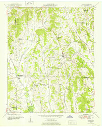
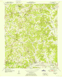
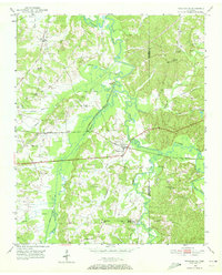
 1936 Stantonville1936 Print · USGSMcNairy County during the mid-thirties reveals a landscape of small farming communities and early TVA infrastructure projects. Researchers can trace rural school locations like Lawton Sch, family burial grounds such as Combs Cem, and the early layout of Adamsville.
 - 1936 Map of Michie
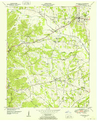
 1936 Michie1936 Print · USGSMcNairy County's rural communities and early power infrastructure are documented in this mid-1930s survey. Researchers can locate vanished landmarks like the Michie Po, McCullar Ch, and the Brooks Sch as electrification reached the valley.
 - 1936 Map of Mt. Peter
 1936 Mt. Peter1936 Print · USGSMcNairy County was undergoing significant modernization in the mid-1930s as federal power projects reached rural Tennessee. Genealogists can trace family footprints near Beauty Hill Ch, Mackey Sch, and the local Cem at Mt Peter.
 - 1949 Map of Pittsburg Landing, 1952 Print
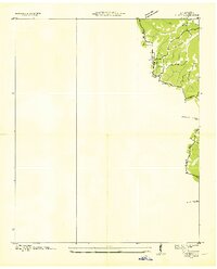
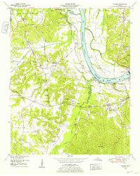
 1949 Pittsburg Landing1952 Print · USGSHardin County history is centered on the hallowed grounds of Shiloh National Military Park and the vital banks of the Tennessee River in the late 1940s. Genealogists and historians can trace the riverside at Pittsburg Landing, locate the National Cem, or find rural family sites like Ledbetter Cem and Mt Zion Ch.
 - 1949 Map of Leapwood, 1952 Print
 1949 Leapwood1952 Print · USGSMcNairy County just before the mid-century mark shows a landscape of ridge-top farms and creek-bottom drainage projects. Genealogists can locate family landmarks like Baucum Cem, Hardin Beauty Church, and the Mud Creek Valley School.2 unique versions available
 - 1949 Map of Mt. Peter, 1952 Print
 1949 Mt. Peter1952 Print · USGSMcNairy and Chester Counties are captured here in the late 1940s, showing a rural landscape defined by the Tennessee Valley Divide. Researchers can trace old rail life in Finger or locate family sites like Mackey Sch and Mt Zion Ch.2 unique versions available
 - 1949 Map of Sardis, 1952 Print
 1949 Sardis1952 Print · USGSSardis and the borderlands of Henderson, Chester, and Hardin Counties are captured here at the end of the 1940s. Genealogists and historians can locate family landmarks such as Brazelton Cem, Maria Bluff Ch, and the rural Tri-County School among the area's many drainage canals.2 unique versions available
 - 1949 Map of Purdy, 1952 Print
 1949 Purdy1952 Print · USGSMcNairy County's rail and ridge landscapes come alive in this mid-century survey of the Tennessee Valley Divide. Genealogists and historians can trace the routes between Selmer and Bethel Springs, or locate rural landmarks like the County Farm and Bethesda Church.3 unique versions available
 - 1949 Map of Stantonville, 1952 Print
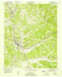
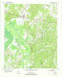
 1949 Stantonville1952 Print · USGSMcNairy County in the late 1940s reveals a network of tight-knit rural communities and family landholdings. Genealogists and local historians can trace the foundations of Stantonville, Adamsville, and West Shiloh, alongside landmarks like Mt Zion Ch and New Delight Sch.3 unique versions available
 - 1949 Map of Milledgeville, 1952 Print
 1949 Milledgeville1952 Print · USGSWest Tennessee rural life and river geography are captured here in the late forties at the junction of Chester, McNairy, and Hardin counties. Researchers can trace family history at Sweeney Cem or locate the rural crossroads of Morris Chapel and Coffee Landing.2 unique versions available
 - 1949 Map of Counce, 1952 Print
 1949 Counce1952 Print · USGSHardin County and the Tennessee River valley are captured here just after the war, showing the area's transition into the TVA era. Researchers can trace historic river access at Nash Landing, the grounds of Shiloh National Military Park, and local landmarks like Wayne Sch.
 - 1949 Map of Michie, 1974 Print
 1949 Michie1974 Print · USGSMcNairy County south of Stantonville is captured here mid-century, showing the crossroads communities and drainage canal projects of the era. Genealogists and local historians can trace the sites of Sand Hill Ch, the Chambers school, and burial grounds like Pleasant Site Cem.2 unique versions available
 - 1950 Map of Enville, 1952 Print
 1950 Enville1952 Print · USGSMid-century West Tennessee comes to life here along the Tennessee Valley Divide at the meeting of three counties. Genealogists and local historians can trace family locations through numerous rural landmarks like Grove Springs Cem, Bailey Chapel, and Roby Sch.3 unique versions available
 - 1950 Map of Corinth, 1952 Print
 1950 Corinth1952 Print · USGSAlcorn County's rail-and-river landscape comes alive in the early fifties as Corinth expands at the junction of three major railroads. Genealogists can trace family roots through dozens of rural landmarks like Wesley Chapel, Kossuth, and the National Cemetery.3 unique versions available
 - 1950 Map of Kendrick, 1953 Print
 1950 Kendrick1953 Print · USGSThe Mississippi-Tennessee borderlands in the mid-twentieth century show a landscape of rural schools and rail intersections. Genealogists can trace family names at Marvin Cem and Wyly Cem, or locate lost landmarks like McGlathery Sch and Fraley Chapel.3 unique versions available
 - 1950 Map of Pocahontas, 1972 Print
 1950 Pocahontas1972 Print · USGSMid-century Hardeman County is defined here by the meeting of the Hatchie River and Tuscumbia River near the crossroads of two major rail lines. Genealogists can trace family roots through numerous rural landmarks like Oak Grove Ch, Pleasant Hill Sch, and the Essary Springs Cem.
 - 1950 Map of Hornsby, 1973 Print
 1950 Hornsby1973 Print · USGSHardeman County in the early fifties is captured here through its river-bottom landscapes and rural centers like Hornsby. Researchers can trace old family burial sites at Wyatt Cemetery, locate rural schools like Walnut Grove School, and follow the Gulf Mobile and Ohio rail line.3 unique versions available
Showing maps 1-25 of 156
Top cities of McNairy County
- Selmer historical maps
- Adamsville historical maps
- Bethel Springs historical maps
- Michie historical maps
- Eastview historical maps
- Guys historical maps
See more
Frequently asked questions
- What are the different types of historical maps available for McNairy County?
- What is the oldest map of McNairy County?
- Where can I purchase historical maps of McNairy County for my home or office?
- Where can I download high-res historical maps of McNairy County?
- Are there historical topographic maps available for McNairy County?
- Is there historical aerial imagery available for McNairy County?
- Where are historical maps of McNairy County sourced from?