2000s (21st Century) Maps of McNairy County, Tennessee
Explore 109 historic maps of McNairy County from the 2000s (21st Century). These maps offer a rare glimpse into what life looked like during the 2000s — showing old roads, neighborhoods, homes, and landmarks that have changed or disappeared over time.
Whether you're researching your family's past, planning a metal detecting trip, or studying how McNairy County's landscape evolved across the 2000s, these high-resolution maps are a powerful tool for exploring the history of this region.
- Focus on a specific era: All maps on this page are from the 2000s, giving you a focused view of this time period.
- See what’s changed: Compare century-old streets, trails, and buildings to today's modern landscape using overlays and satellite layers.
- Research with precision: Use these maps for genealogy, historical research, land use analysis, or educational projects.
- View, download, or print: Maps are fully viewable online in high resolution, and can be downloaded or printed for your own records.
Start exploring McNairy County's history through authentic maps from the 2000s. This is your window into the past.
McNairy County, TN maps
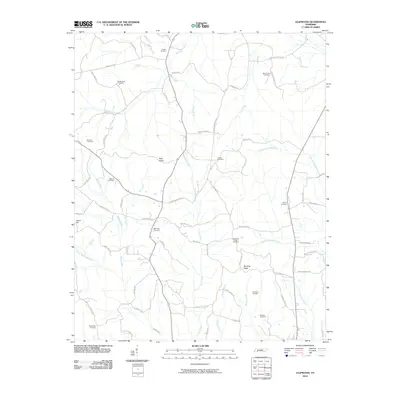
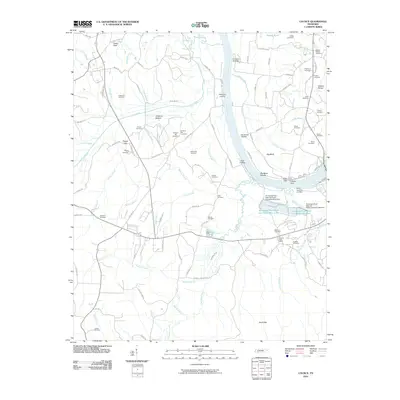
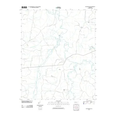
(109)- 2010 Map of Milledgeville, 2010 Print
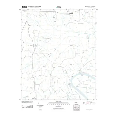 2010 Milledgeville2010 Print · USGSCovers McNairy County, including Adamsville, Crump, and other nearby areas
 - 2010 Map of Hornsby, 2010 Print
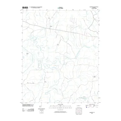 2010 Hornsby2010 Print · USGSCovers McNairy County, including Hornsby, Porters Creek, and other nearby areas
 - 2010 Map of Masseyville, 2010 Print
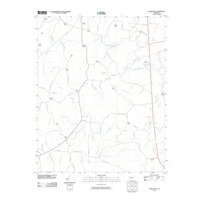 2010 Masseyville2010 Print · USGSCovers McNairy County, including Bethel Springs, Finger, and other nearby areas
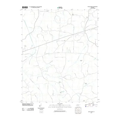
 - 2010 Map of Rose Creek, 2010 Print
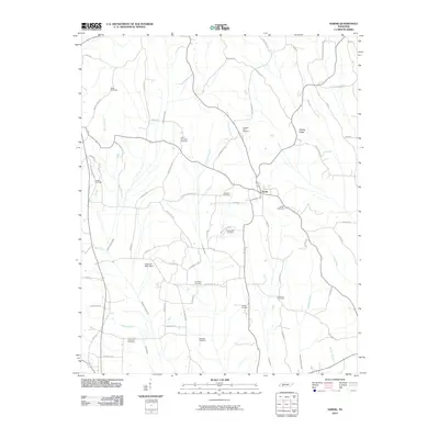
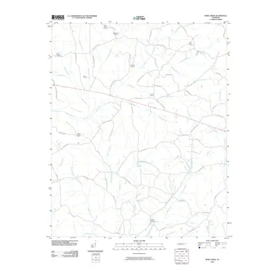 2010 Rose Creek2010 Print · USGSCovers McNairy County, including Selmer, Bethel Springs, and other nearby areas
 - 2010 Map of Sardis, 2010 Print
 2010 Sardis2010 Print · USGSCovers McNairy County, including Sardis, Cedar Grove, and other nearby areas
 - 2010 Map of Stantonville, 2010 Print
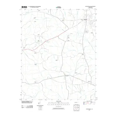 2010 Stantonville2010 Print · USGSCovers McNairy County, including Adamsville, Stantonville, and other nearby areas
 - 2010 Map of Pittsburg Landing, 2010 Print
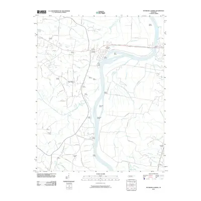 2010 Pittsburg Landing2010 Print · USGSCovers McNairy County, including Savannah, Adamsville, and other nearby areas
 - 2010 Map of Purdy, 2010 Print
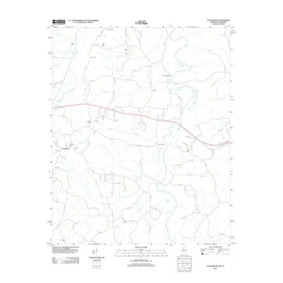
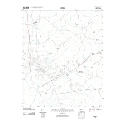 2010 Purdy2010 Print · USGSCovers McNairy County, including Selmer, Bethel Springs, and other nearby areas
 - 2010 Map of Kossuth North, 2010 Print
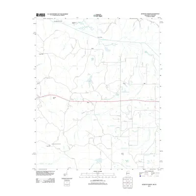
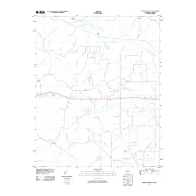 2010 Kossuth North2010 Print · USGSCovers McNairy County, including Kossuth, Gift, and other nearby areas
 - 2010 Map of Chalybeate, 2010 Print
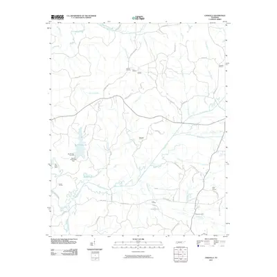
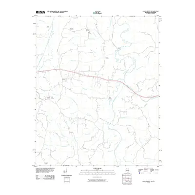 2010 Chalybeate2010 Print · USGSCovers McNairy County, including Chalybeate, Alcorn County, and other nearby areas
 - 2010 Map of Kendrick, 2010 Print
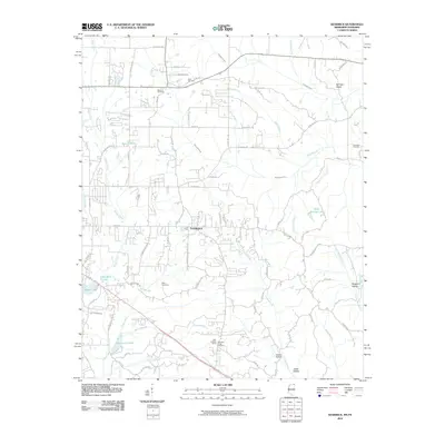 2010 Kendrick2010 Print · USGSCovers McNairy County, including Corinth, Farmington, and other nearby areas
 - 2010 Map of Corinth, 2010 Print
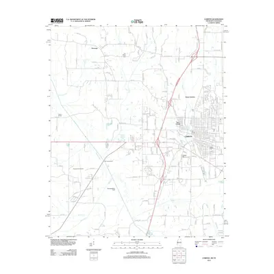
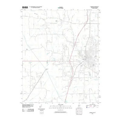 2010 Corinth2010 Print · USGSCovers McNairy County, including Corinth, Guys, and other nearby areas
 - 2010 Map of Leapwood, 2010 Print
 2010 Leapwood2010 Print · USGSCovers McNairy County, including Adamsville, Mount Zion, and other nearby areas
 - 2010 Map of Enville, 2010 Print
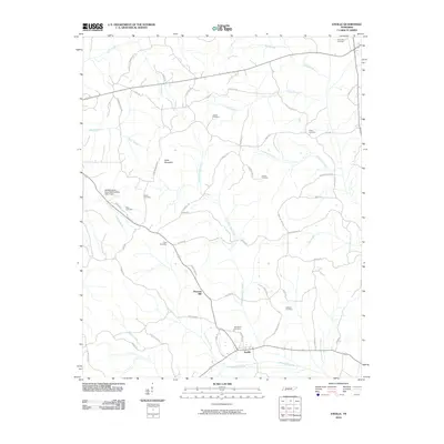 2010 Enville2010 Print · USGSCovers McNairy County, including Roby, Cabo, and other nearby areas
 - 2010 Map of Mount Peter, 2010 Print
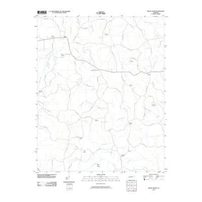 2010 Mount Peter2010 Print · USGSCovers McNairy County, including Bethel Springs, Finger, and other nearby areas
 - 2010 Map of Jacks Creek, 2010 Print
 2010 Jacks Creek2010 Print · USGSCovers McNairy County, including Henderson, Jacks Creek, and other nearby areas
 - 2010 Map of Counce, 2010 Print
 2010 Counce2010 Print · USGSCovers McNairy County, including Damon, Counce, and other nearby areas
 - 2010 Map of Chewalla, 2010 Print
 2010 Chewalla2010 Print · USGSCovers McNairy County, including Ramer, Chewalla, and other nearby areas
 - 2010 Map of Michie, 2010 Print
 2010 Michie2010 Print · USGSCovers McNairy County, including Michie, Liberty, and other nearby areas
 - 2010 Map of Guys, 2010 Print
 2010 Guys2010 Print · USGSCovers McNairy County, including Eastview, Guys, and other nearby areas
 - 2010 Map of Pocahontas, 2010 Print
 2010 Pocahontas2010 Print · USGSCovers McNairy County, including Middleton, Essary Springs, and other nearby areas
 - 2012 Map of Chalybeate, 2012 Print
 2012 Chalybeate2012 Print · USGSCovers McNairy County, including Chalybeate, Alcorn County, and other nearby areas
 - 2012 Map of Corinth, 2012 Print
 2012 Corinth2012 Print · USGSCovers McNairy County, including Corinth, Guys, and other nearby areas
 - 2012 Map of Kossuth North, 2012 Print
 2012 Kossuth North2012 Print · USGSCovers McNairy County, including Kossuth, Gift, and other nearby areas
 - 2012 Map of Kendrick, 2012 Print
 2012 Kendrick2012 Print · USGSCovers McNairy County, including Corinth, Farmington, and other nearby areas
Showing maps 1-25 of 109
Top cities of McNairy County
- Selmer historical maps
- Adamsville historical maps
- Bethel Springs historical maps
- Michie historical maps
- Eastview historical maps
- Guys historical maps
See more
Frequently asked questions
- What are the different types of historical maps available for McNairy County?
- What is the oldest map of McNairy County?
- Where can I purchase historical maps of McNairy County for my home or office?
- Where can I download high-res historical maps of McNairy County?
- Are there historical topographic maps available for McNairy County?
- Is there historical aerial imagery available for McNairy County?
- Where are historical maps of McNairy County sourced from?