Old Maps of Cataska, Tennessee for Academic Research
Study the evolution of Cataska with 18 high-resolution historic maps. Whether you're teaching, researching, or modeling changes in land use, these maps provide essential visual documentation of urban, environmental, and geographic change.
- Analyze long-term change: Track patterns in development, transportation, and natural features.
- Ideal for environmental or urban studies: Support academic projects with primary historical map data.
- Use in the classroom or lab: Educators and researchers rely on these maps to bring historical context to life.
These maps are a powerful tool for teaching, research, and visualizing how Cataska has changed over the decades.
Cataska, TN maps
(18)- 1893 Map of Murphy
 1893 Murphy1893 Print · USGSThe Unaka Mountains and Hiwassee River valley are captured here in the late 19th century, showing a landscape of remote mountain gaps and early industry. Researchers can find old mining sites like Isabella Mine, river crossings such as Prince Fy., and rail stops at Hiwassee Sta..5 unique versions available
 - 1914 Map of Murphy
 1914 Murphy1914 Print · USGSThe Tennessee-North Carolina borderlands come to life in this early twentieth-century survey, showcasing a landscape of mountain ridges and river-driven commerce. Researchers can trace the Louisville and Nashville Railroad to old stops like Apalachia Sta or locate the historic Prince Ferry and White Cliff Springs.3 unique versions available
 - 1936 Map of Ducktown
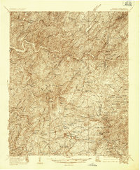 1936 Ducktown1936 Print · USGSThe Tennessee and North Carolina borderlands come to life in the mid-1930s as the Copper Basin mining boom reaches its peak. Researchers can locate vanished infrastructure like the Tennessee Copper Co RR and legendary sites including the Burra Burra Mine and Kimsey Junior College.
 - 1936 Map of Farner
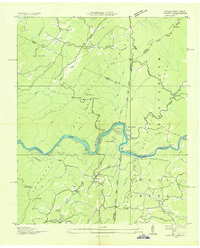 1936 Farner1936 Print · USGSThe Hiwassee River valley at the Tennessee-North Carolina border is captured here in the mid-1930s, showing a landscape shaped by rail and timber. Genealogists and hikers can locate Ironsburg Sch, the Ironsburg Lookout Tower, and the remote siding at Old Apalachia.
 - 1943 Map of Ducktown
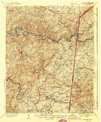 1943 Ducktown1943 Print · USGSSoutheast Tennessee mining country is captured here during the 1940s as the regional copper industry reached its peak. Genealogists and historians can trace industrial footprints at the Burra Burra Mine or locate families near Freelingtown and the Ironsburg Sch.2 unique versions available
 - 1953 Map of Chattanooga
 1953 Chattanooga1953 Print · USGSSoutheast Tennessee in the early fifties shows a landscape reshaped by river management and rail power. Trace the rail lines of the Southern Ry through riverside towns or locate the preserved grounds of the Chickamauga and Chattanooga National Military Park.
 - 1957 Map of Farner, 1959 Print
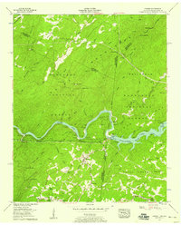 1957 Farner1959 Print · USGSThe Tennessee-North Carolina border country in the late fifties was a landscape of steep ridges and river-driven industry. Genealogists and historians can trace family locations through Brock Cem, Cataska Sch, and the remote mountain community of Farner.6 unique versions available
 - 1957 Map of Chattanooga, 1966 Print
 1957 Chattanooga1966 Print · USGSEast Tennessee in the mid-1960s shows a landscape of massive hydroelectric reservoirs and emerging industrial sites like the Atomic Energy Commission (Oak Ridge Area). Trace the rail networks of the Southern Ry through Chattanooga or locate family-named ridges across the Cumberland Plateau.3 unique versions available
 - 1959 Map of Chattanooga
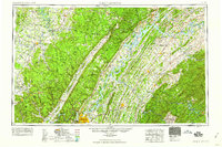 1959 Chattanooga1959 Print · USGSSoutheast Tennessee is shown here during a decade of industrial growth and hydroelectric development. Trace the regional rail networks of the Southern Ry and find landmark sites like Lookout Mountain, Fall Creek Falls State Park, and Chattanooga.
 - 1960 Map of Chattanooga
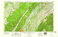 1960 Chattanooga1960 Print · USGSSoutheast Tennessee and the southern Appalachians are shown here at the height of the river-management era. You can trace the valley rail lines and locate Lookout Mountain and the expansive waters of Chickamauga Reservoir.
 - 1964 Map of Chattanooga
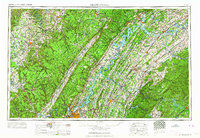 1964 Chattanooga1964 Print · USGSSoutheast Tennessee and the western Carolinas appear in the mid-sixties as a powerhouse of river-driven industry and mountain wilderness. Genealogists and historians can trace rail-town lineages along the Southern Ry or locate family landmarks near Watts Bar Lake and Tellico Plains.
 - 1981 Map of Cleveland
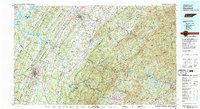 1981 Cleveland1981 Print · USGSSoutheast Tennessee and Western North Carolina are documented here in the early eighties, as the Tennessee Valley Authority managed the region's vast river and forest resources. Researchers can trace the rail lines of the Southern and Louisville and Nashville or locate industrial sites in the Copper Basin and settlements like Ducktown.2 unique versions available
 - 2003 Map of Farner, 2004 Print
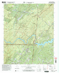 2003 Farner2004 Print · USGSThe Tennessee and North Carolina borderlands come into focus at the dawn of the new millennium, showcasing the interaction of the river and the national forests. Researchers can trace family history through sites like River Hill Cem, Cataska Ch, and the settlement of Ironsburg.
 - 2011 Map of Farner, 2011 Print
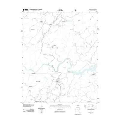 2011 Farner2011 Print · USGSThe Tennessee and North Carolina borderlands are defined by the winding Hiwassee River and high ridgelines during the early twenty-first century. Researchers can locate local landmarks like the Farner Post Office and Brock Cemetery, or trace infrastructure such as the Apalachia Tunnel.
 - 2013 Map of Farner, 2013 Print
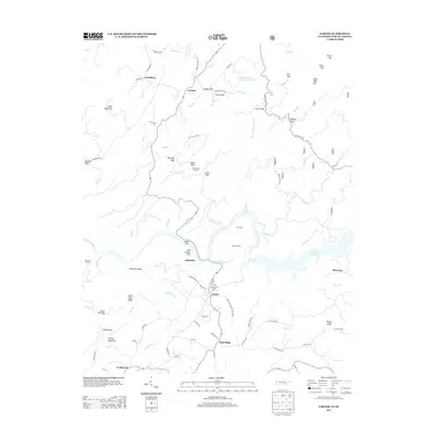 2013 Farner2013 Print · USGSThe Tennessee and North Carolina borderlands come alive in this recent survey, showcasing the mountain terrain surrounding the Hiwassee River. Researchers can trace local landmarks like the Apalachia Tunnel, Buck Bald Lookout, and the settlement at Farner.
 - 2016 Map of Farner, 2016 Print
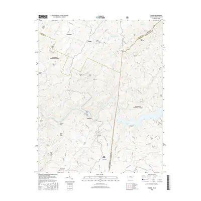 2016 Farner2016 Print · USGSThe Tennessee and North Carolina borderlands are captured here in the mid-2010s, showing the remote mountain communities of the Unicoi range. Genealogists and hikers can trace the paths to Brock Cem, locate the Apalachia Tunnel, or find the high summit of Buck Bald.
 - 2019 Map of Farner, 2019 Print
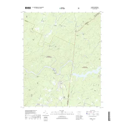 2019 Farner2019 Print · USGSThe Tennessee-North Carolina borderlands come into focus in this late twenty-tens survey of the rugged Hiwassee River corridor. Researchers can trace family history at Brock Cem or locate industrial landmarks like the Apalachia Tunnel and the settlement of Farner.
 - 2022 Map of Farner, 2022 Print
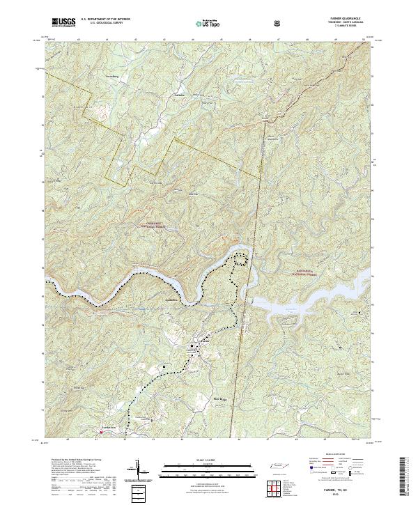 2022 Farner2022 Print · USGSThe Tennessee and North Carolina borderlands come alive in this study of the mountains surrounding Apalachia Lake. Researchers can trace family sites at New Zion Cem and Farmer Presbyterian Church or follow the old tracks through Unicoi Gap.
End of results
Showing maps 1-18 of 18
Top cities near Cataska
- Etowah historical maps
- Englewood historical maps
- Tellico Plains historical maps
- Copperhill historical maps
- Ducktown historical maps
Frequently asked questions
- What are the different types of historical maps available for Cataska?
- What is the oldest map of Cataska?
- Where can I purchase historical maps of Cataska for my home or office?
- Where can I download high-res historical maps of Cataska?
- Are there historical topographic maps available for Cataska?
- Is there historical aerial imagery available for Cataska?
- Where are historical maps of Cataska sourced from?