2000s (21st Century) Maps of Tariffville, Tennessee
Explore 6 historic maps of Tariffville from the 2000s (21st Century). These maps offer a rare glimpse into what life looked like during the 2000s — showing old roads, neighborhoods, homes, and landmarks that have changed or disappeared over time.
Whether you're researching your family's past, planning a metal detecting trip, or studying how Tariffville's landscape evolved across the 2000s, these high-resolution maps are a powerful tool for exploring the history of this region.
- Focus on a specific era: All maps on this page are from the 2000s, giving you a focused view of this time period.
- See what’s changed: Compare century-old streets, trails, and buildings to today's modern landscape using overlays and satellite layers.
- Research with precision: Use these maps for genealogy, historical research, land use analysis, or educational projects.
- View, download, or print: Maps are fully viewable online in high resolution, and can be downloaded or printed for your own records.
Start exploring Tariffville's history through authentic maps from the 2000s. This is your window into the past.
Tariffville, TN maps
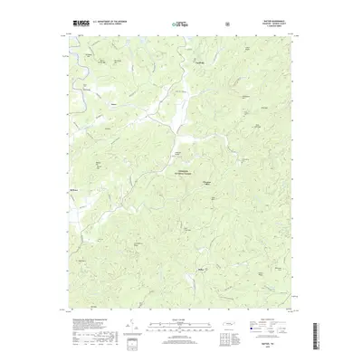
(6)- 2003 Map of Rafter, 2004 Print
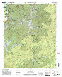 2003 Rafter2004 Print · USGSMonroe County, Tennessee, is shown here just after the turn of the millennium, where the waters of Tellico Lake meet the rising ridges of the Cherokee National Forest. Family historians can locate several rural landmarks including Ebenezer Ballplay Church, Mt Hebron Cemetery, and Giles Cemetery.
 - 2011 Map of Rafter, 2011 Print
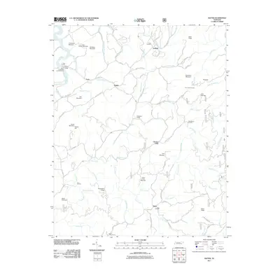 2011 Rafter2011 Print · USGSCovers Tariffville, including Acorn, Ballplay, and other nearby areas
 - 2013 Map of Rafter, 2013 Print
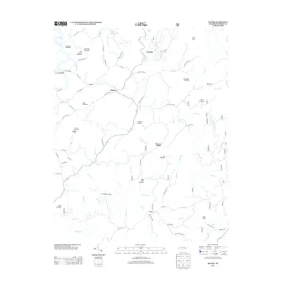 2013 Rafter2013 Print · USGSCovers Tariffville, including Acorn, Ballplay, and other nearby areas
 - 2016 Map of Rafter, 2016 Print
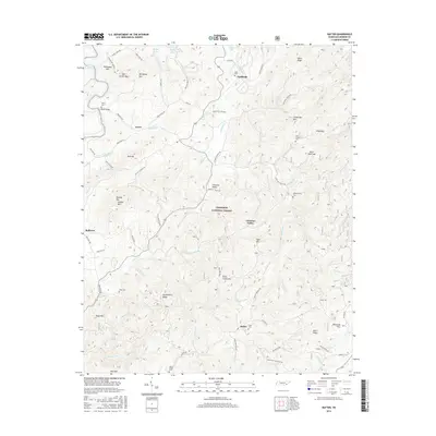 2016 Rafter2016 Print · USGSCovers Tariffville, including Acorn, Ballplay, and other nearby areas
 - 2019 Map of Rafter, 2019 Print
 2019 Rafter2019 Print · USGSCovers Tariffville, including Acorn, Ballplay, and other nearby areas
 - 2022 Map of Rafter, 2022 Print
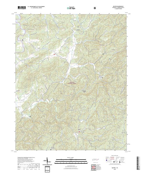 2022 Rafter2022 Print · USGSMonroe County, Tennessee, is mapped here in the early 2020s, showing the intersection of the Cherokee National Forest and mountain communities. Researchers can trace rural life through landmarks like the Missionary Baptist Church and family burial sites including Shaw Cem and Tellico Cem.
End of results
Showing maps 1-6 of 6
Top cities near Tariffville
- Maryville historical maps
- Tellico Village historical maps
- Loudon historical maps
- Madisonville historical maps
- Greenback historical maps
- Tellico Plains historical maps
See more
Frequently asked questions
- What are the different types of historical maps available for Tariffville?
- What is the oldest map of Tariffville?
- Where can I purchase historical maps of Tariffville for my home or office?
- Where can I download high-res historical maps of Tariffville?
- Are there historical topographic maps available for Tariffville?
- Is there historical aerial imagery available for Tariffville?
- Where are historical maps of Tariffville sourced from?