2010s Maps of Montgomery County, Tennessee
Explore 80 historic maps of Montgomery County from the 2010s. These maps offer a rare glimpse into what life looked like during the 2010s — showing old roads, neighborhoods, homes, and landmarks that have changed or disappeared over time.
Whether you're researching your family's past, planning a metal detecting trip, or studying how Montgomery County's landscape evolved across the 2010s, these high-resolution maps are a powerful tool for exploring the history of this region.
- Focus on a specific era: All maps on this page are from the 2010s, giving you a focused view of this time period.
- See what’s changed: Compare century-old streets, trails, and buildings to today's modern landscape using overlays and satellite layers.
- Research with precision: Use these maps for genealogy, historical research, land use analysis, or educational projects.
- View, download, or print: Maps are fully viewable online in high resolution, and can be downloaded or printed for your own records.
Start exploring Montgomery County's history through authentic maps from the 2010s. This is your window into the past.
Montgomery County, TN maps
(80)- 2010 Map of Excell, 2010 Print
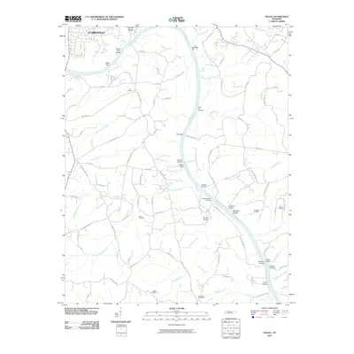 2010 Excell2010 Print · USGSThe Cumberland River corridor south of Clarksville comes into sharp focus during the early twenty-first century, showing a landscape shaped by river navigation and rural commerce. Researchers can trace historic family landmarks such as Lyle Cemetery and Sheltons Landing, or locate the Southside Post Office.
 - 2010 Map of Allensville, 2010 Print
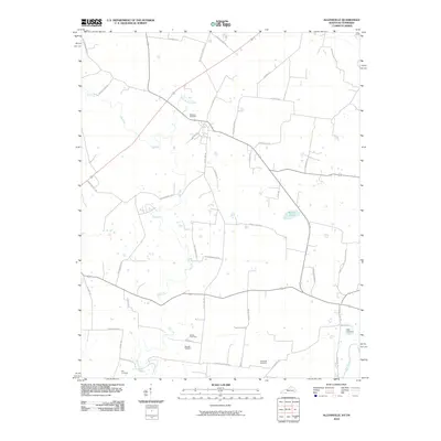 2010 Allensville2010 Print · USGSThe Kentucky-Tennessee borderlands appear here in the early twenty-first century, centered on the fertile drainage of the Elk Fork. Genealogists can locate numerous local burial sites such as Mitchell Cemetery and Wall Cemetery among the rural roads.
 - 2010 Map of Henrietta, 2010 Print
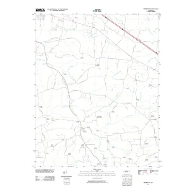 2010 Henrietta2010 Print · USGSRural Montgomery County comes into focus in the early twenty-first century, showing a landscape shaped by family lineage and historic creek valleys. Researchers can trace deep roots at the Montgomery County Home and dozens of family plots such as the Hobson Nicholson Cemetery or Albright Cemetery.
 - 2010 Map of Clarksville, 2010 Print
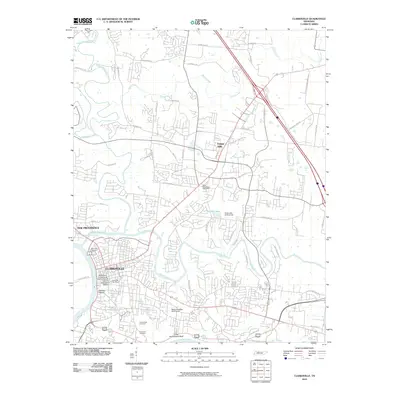 2010 Clarksville2010 Print · USGSClarksville sits at the historic meeting of the Cumberland and Red Rivers in the early twenty-first century. Genealogists and historians can trace the city's preserved heritage through the Dog Hill Architectural District and family sites like Greenwood Cemetery.
 - 2010 Map of Cumberland Furnace, 2010 Print
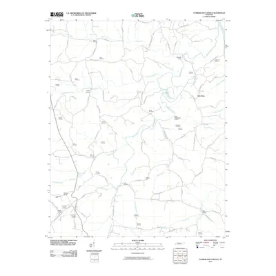 2010 Cumberland Furnace2010 Print · USGSThe Tennessee iron country remains visible in this recent survey, centered on the historic mining district near the Montgomery and Dickson county line. Researchers can locate numerous family burial grounds like Weakley Cemetery and trace the footprints of industry at Cumberland Mines and Tabor Ore Bank.
 - 2010 Map of Guthrie, 2010 Print
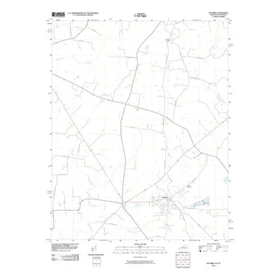 2010 Guthrie2010 Print · USGSGuthrie and the surrounding borderlands appear here in the early twenty-first century as a landscape of crossroads and country lanes. Researchers can locate family landmarks like Hermon Cemetery and trace the historical path of Old Railroad Ln.
 - 2010 Map of Adams, 2010 Print
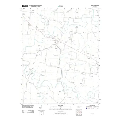 2010 Adams2010 Print · USGSThe rural landscape of northern Tennessee is captured here in the early twenty-first century, centered on the historic town of Adams. Genealogists can trace a vast network of family burial grounds, including the John Bell Cemetery, Fort Cemetery, and Red River Cemetery.
 - 2010 Map of Palmyra, 2010 Print
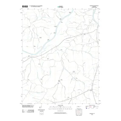 2010 Palmyra2010 Print · USGSNear the Cumberland River in the early twenty-first century, this Montgomery County landscape retains its deep family and river roots. Genealogists can locate numerous family burial sites like Wickham Cemetery or trace old river access at Bud Martins Landing and O'Neals Landing.
 - 2010 Map of Pleasant View, 2010 Print
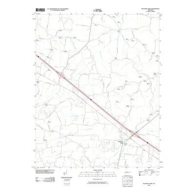 2010 Pleasant View2010 Print · USGSPleasant View and the surrounding Tennessee countryside are captured here in the early twenty-first century as the area transitioned between rural roots and modern growth. Genealogists can trace family locations through numerous sites like Luter Cemetery, Heads Cemetery, and Esther Jackson Cemetery.
 - 2010 Map of Trenton, 2010 Print
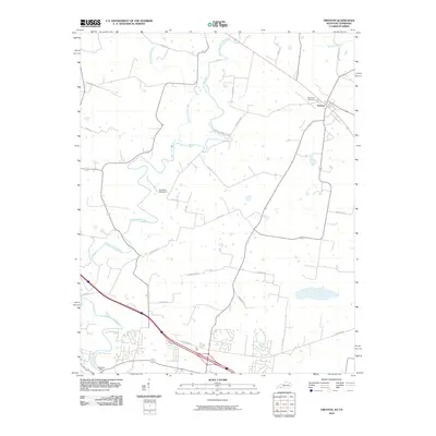 2010 Trenton2010 Print · USGSThe Tennessee-Kentucky borderlands in the early twenty-first century reveal a landscape of river-valley settlements and growing rural crossroads. Trace family history at Edgewood Cemetery and follow the historic path of the West Fork Red River past Peachers Mill.
 - 2010 Map of Roaring Spring, 2010 Print
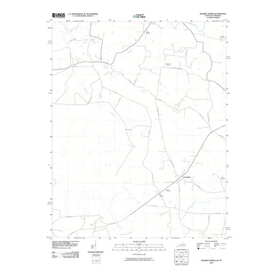 2010 Roaring Spring2010 Print · USGSLa Fayette and its rural surroundings are captured here in the early twenty-first century, showing a landscape defined by historic family burial grounds and winding creeks. Genealogists can locate sites like Elliott Cemetery or Powell Cemetery along roads like Dyers Chapel Rd.
 - 2010 Map of Sango, 2010 Print
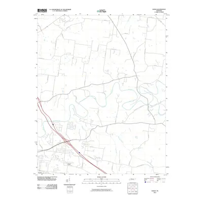 2010 Sango2010 Print · USGSSango and the surrounding Montgomery County countryside are captured here during a period of suburban expansion into the river valleys of northern Tennessee. Genealogists and local historians can trace family land via Sango Rd, identify burials at Rest Haven Memorial Gardens, and follow the banks of the Red River.
 - 2010 Map of Woodlawn, 2010 Print
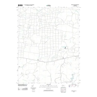 2010 Woodlawn2010 Print · USGSMontgomery County in the early twenty-first century is a landscape of creek-fed hollows and rural crossroads. Genealogists and local historians can locate Blair Cemetery or trace the development of water resources at Cunningham Broadbent Lake and Lake Site Number Three.
 - 2010 Map of New Providence, 2010 Print
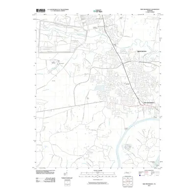 2010 New Providence2010 Print · USGSThe northern reaches of Montgomery County show the intersection of military and civilian life near the turn of the millennium. Researchers can trace the perimeter of Fort Campbell and locate regional landmarks like the Ringgold Creek Mill or the New Providence Post Office.
 - 2010 Map of Oak Grove, 2010 Print
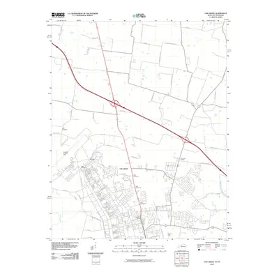 2010 Oak Grove2010 Print · USGSOak Grove at the turn of the decade serves as a vital border community between Kentucky and Tennessee, defined by its relationship with the nearby air base. Researchers can trace the layout of Campbell Army Air Field and local landmarks like Good Hope Cemetery and Outlaw Field.
 - 2010 Map of Slayden, 2010 Print
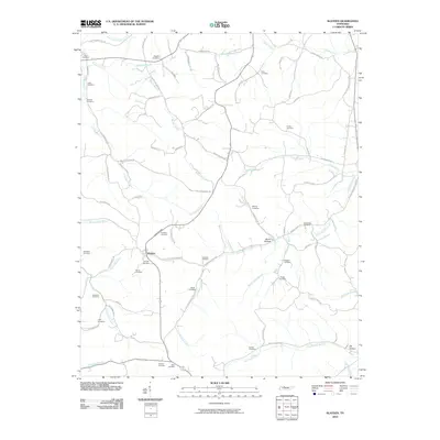 2010 Slayden2010 Print · USGSSlayden and the surrounding Dickson County hills are shown in 2010, at a time when the rural landscape remained defined by family homesteads and local creeks. Genealogists can trace family names through sites like Schmittou Cemetery, Baggett Cemetery, and Stone Hollow.
 - 2010 Map of Ellis Mills, 2010 Print
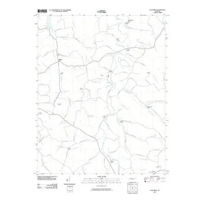 2010 Ellis Mills2010 Print · USGSThe hills of Tennessee are documented here just after the turn of the millennium, showing a landscape defined by deep hollows and family-named cemeteries. Researchers can trace ancestral locations like Adams Cemetery and the settlement at Spring Hill near Yellow Creek.
 - 2010 Map of Herndon, 2010 Print
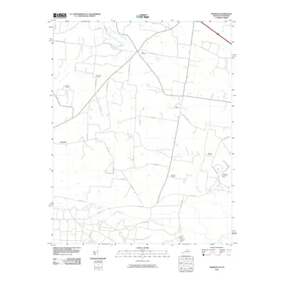 2010 Herndon2010 Print · USGSLaFayette and the surrounding Christian County farm country are shown in the late 2000s, just as the rural landscape meets the expanding military installations. Researchers can trace family history through numerous burial sites like Major Cemetery and Double Barn Cemetery or locate landmarks near the Little River.
 - 2010 Map of Indian Mound, 2010 Print
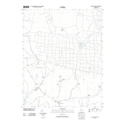 2010 Indian Mound2010 Print · USGSThe Stewart County countryside around Indian Mound is captured here in the early 21st century, showing a landscape of deep hollows and rural family homesteads. Researchers can locate numerous local burial grounds such as Joiner Cemetery and Austin Cemetery, or trace the winding course of Dicks Fork Creek.
 - 2010 Map of Needmore, 2010 Print
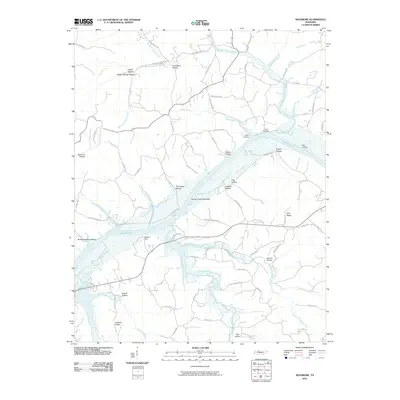 2010 Needmore2010 Print · USGSThe Cumberland River valley is captured here in the early twenty-first century, featuring the expansive waters of Lake Barkley. Local historians can trace family-named hollows and river access points like Sailors Rest, York Landing, and Gunson Ridge.
 - 2013 Map of Allensville, 2013 Print
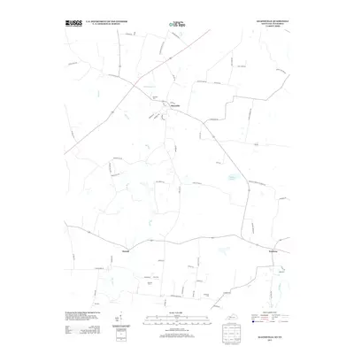 2013 Allensville2013 Print · USGSThis rural portion of the Kentucky-Tennessee border comes into focus in the early 2010s, centered on the historic crossroads of Allensville. Genealogists and local historians can trace family locations through numerous rural burial sites like Belmont Cem and Cross Cem.
 - 2013 Map of Oak Grove, 2013 Print
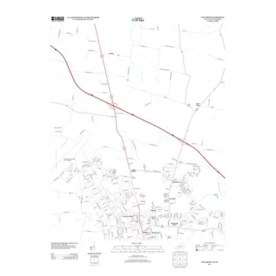 2013 Oak Grove2013 Print · USGSThe Kentucky-Tennessee border at the edge of Fort Campbell is captured here in the early twenty-first century, showcasing the region's unique military and civilian mix. Genealogists and local historians can trace family roots through Saint Elmo and Fidelio or locate burial sites at Good Hope Cem.
 - 2013 Map of Roaring Spring, 2013 Print
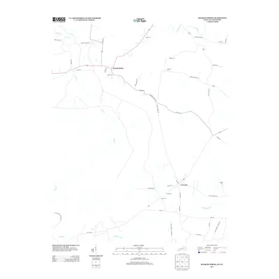 2013 Roaring Spring2013 Print · USGSTracing the Kentucky-Tennessee borderlands in the early 2010s, this map captures the rural character of Christian County before recent development. Genealogists can locate family landmarks like Dawson Cem and Simmons Cem near La Fayette.
 - 2013 Map of Guthrie, 2013 Print
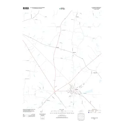 2013 Guthrie2013 Print · USGSThe Kentucky-Tennessee borderlands appear here in the early twenty-first century, centered on the historic crossroads of Guthrie. Genealogists and local historians can trace family land ties near Hermon Cem or locate old community sites like Pinchem and Anderson.
 - 2013 Map of Herndon, 2013 Print
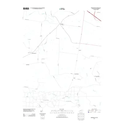 2013 Herndon2013 Print · USGSThe Kentucky-Tennessee borderlands are captured here in the early twenty-first century, showing the rural communities south of Hopkinsville. Researchers can locate family landmarks like Double Barn Cem and trace the boundaries of the Fort Campbell Military Res.
Showing maps 1-25 of 80
Top cities of Montgomery County
Frequently asked questions
- What are the different types of historical maps available for Montgomery County?
- What is the oldest map of Montgomery County?
- Where can I purchase historical maps of Montgomery County for my home or office?
- Where can I download high-res historical maps of Montgomery County?
- Are there historical topographic maps available for Montgomery County?
- Is there historical aerial imagery available for Montgomery County?
- Where are historical maps of Montgomery County sourced from?