Old Maps of Blue Sky, Tennessee for Hiking & Exploration
Hike through history with 9 historic maps of Blue Sky. Explore old trails, ghost towns, and forgotten backroads — perfect for outdoor adventurers and local explorers.
- Rediscover forgotten places: Map out old mining camps, roads, and footpaths that no longer exist on modern maps.
- Layer with modern tools: Combine with LiDAR or satellite views to plan hikes through historical terrain.
- Made for exploration: Popular among hikers, overlanders, and local history lovers.
Use these maps to find adventure and explore the hidden past of Blue Sky.
Blue Sky, TN maps
(9)- 1936 Map of Daniels Landing
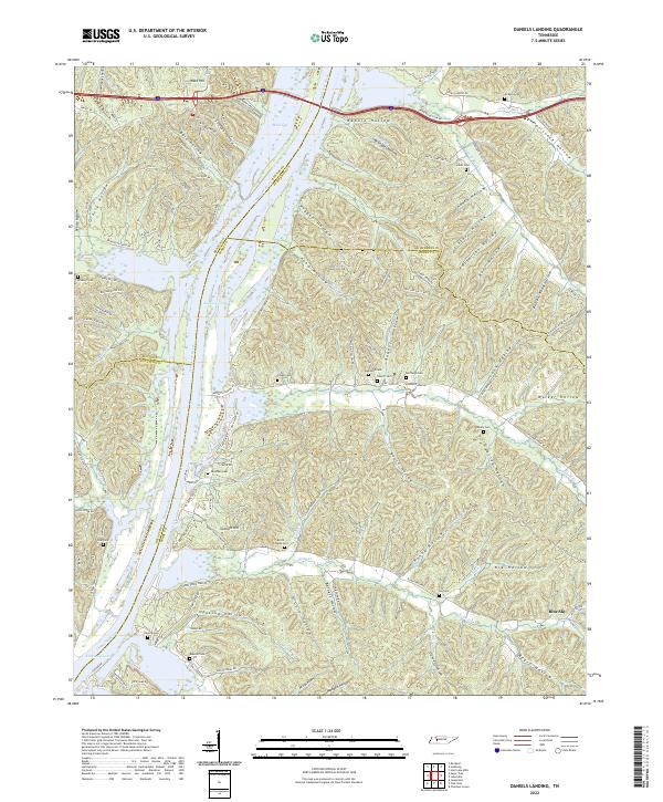
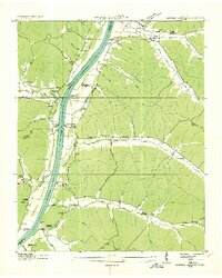 1936 Daniels Landing1936 Print · USGSLife along the Tennessee River in the mid-1930s was defined by its landings and creek-side communities before major dam projects altered the valley. Genealogists can trace family landmarks like Britt Chapel Cem, Daniels Landing, and the school at Oakview Sch.
 - 1949 Map of Daniels Landing, 1953 Print
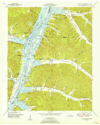 1949 Daniels Landing1953 Print · USGSWest Tennessee river life is captured here in the late 1940s as the valley adapted to the creation of Kentucky Lake. Researchers can trace old family sites and river landings such as Daniels Landing, Blue Creek School, and Britta Chapel.3 unique versions available
 - 1956 Map of Columbia, 1960 Print
 1956 Columbia1960 Print · USGSMiddle Tennessee in the mid-fifties presents a landscape of established river towns and critical rail hubs before the arrival of the modern interstate system. Researchers can trace the routes of the Louisville and Nashville railroad or locate historic landmarks like Stones River National Military Park and the Tennessee National Wildlife Refuge.6 unique versions available
 - 1986 Map of Hohenwald
 1986 Hohenwald1986 Print · USGSThe Western Highland Rim of Tennessee comes into focus during the mid-eighties, showing the deep river valleys and high ridges of Lewis and Perry counties. Researchers can trace the path of the Natchez Trace Parkway or locate interior settlements like Chestnut Grove, Farmers Exchange, and Hustburg.3 unique versions available
 - 2010 Map of Daniels Landing, 2010 Print
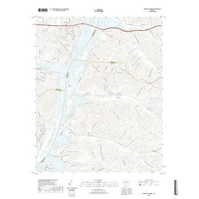
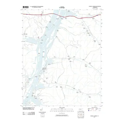 2010 Daniels Landing2010 Print · USGSCovers Blue Sky, including Crooked Creek, Humphreys County, and other nearby areas
 - 2013 Map of Daniels Landing, 2013 Print
 2013 Daniels Landing2013 Print · USGSCovers Blue Sky, including Crooked Creek, Humphreys County, and other nearby areas
 - 2016 Map of Daniels Landing, 2016 Print
 2016 Daniels Landing2016 Print · USGSCovers Blue Sky, including Crooked Creek, Humphreys County, and other nearby areas
 - 2019 Map of Daniels Landing, 2019 Print
 2019 Daniels Landing2019 Print · USGSCovers Blue Sky, including Crooked Creek, Humphreys County, and other nearby areas
 - 2022 Map of Daniels Landing, 2022 Print
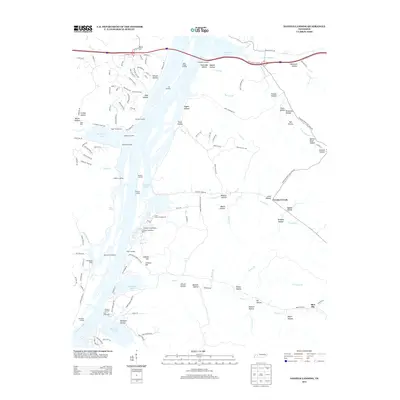
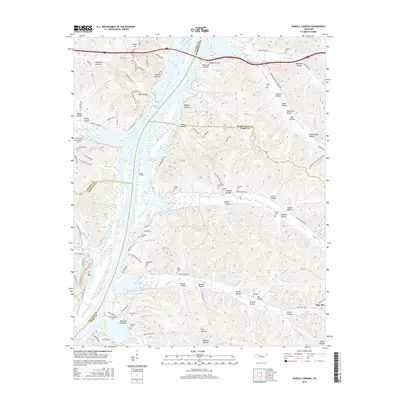
 2022 Daniels Landing2022 Print · USGSSpanning the borders of Perry and Humphreys counties in the 2020s, this area shows a landscape defined by the Tennessee River and its complex system of hollows. Researchers can locate numerous family burial grounds including Britts Chapel Cem, McKeel Cem, and Raney Cem tucked between ridges.
End of results
Showing maps 1-9 of 9
Top cities near Blue Sky
- Camden historical maps
- Parsons historical maps
- New Johnsonville historical maps
- Linden historical maps
- Lobelville historical maps
- Decaturville historical maps
Frequently asked questions
- What are the different types of historical maps available for Blue Sky?
- What is the oldest map of Blue Sky?
- Where can I purchase historical maps of Blue Sky for my home or office?
- Where can I download high-res historical maps of Blue Sky?
- Are there historical topographic maps available for Blue Sky?
- Is there historical aerial imagery available for Blue Sky?
- Where are historical maps of Blue Sky sourced from?