2000s (21st Century) Maps of Monterey, Tennessee
Explore 20 historic maps of Monterey from the 2000s (21st Century). These maps offer a rare glimpse into what life looked like during the 2000s — showing old roads, neighborhoods, homes, and landmarks that have changed or disappeared over time.
Whether you're researching your family's past, planning a metal detecting trip, or studying how Monterey's landscape evolved across the 2000s, these high-resolution maps are a powerful tool for exploring the history of this region.
- Focus on a specific era: All maps on this page are from the 2000s, giving you a focused view of this time period.
- See what’s changed: Compare century-old streets, trails, and buildings to today's modern landscape using overlays and satellite layers.
- Research with precision: Use these maps for genealogy, historical research, land use analysis, or educational projects.
- View, download, or print: Maps are fully viewable online in high resolution, and can be downloaded or printed for your own records.
Start exploring Monterey's history through authentic maps from the 2000s. This is your window into the past.
Monterey, TN maps
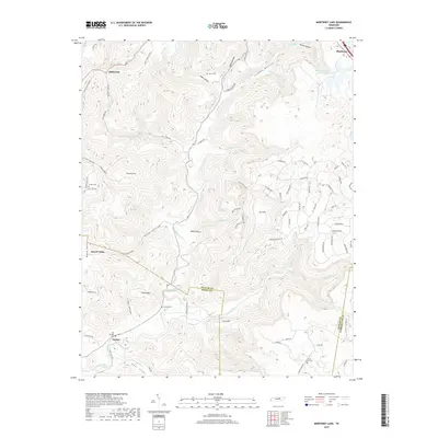
(20)- 2010 Map of Monterey Lake, 2010 Print
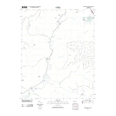 2010 Monterey Lake2010 Print · USGSCovers Monterey, including Taylors, Dug Hill, and other nearby areas
 - 2010 Map of Monterey, 2010 Print
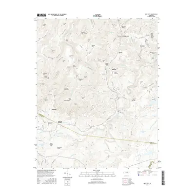
 2010 Monterey2010 Print · USGSCovers Monterey, including Pinhook, Beaver Hill, and other nearby areas
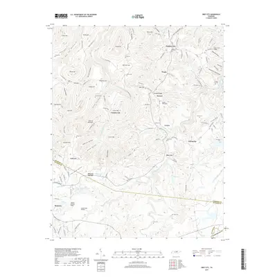
 - 2010 Map of Obey City, 2010 Print
 2010 Obey City2010 Print · USGSCovers Monterey, including Cliff Springs, Green Pond, and other nearby areas
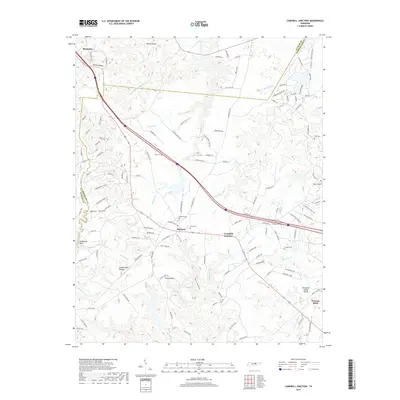
 - 2010 Map of Campbell Junction, 2010 Print
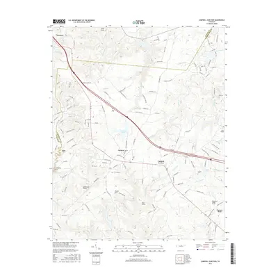
 2010 Campbell Junction2010 Print · USGSCovers Monterey, including Hillwood Estates, Pomona Road, and other nearby areas
 - 2013 Map of Monterey Lake, 2013 Print
 2013 Monterey Lake2013 Print · USGSCovers Monterey, including Taylors, Dug Hill, and other nearby areas
 - 2013 Map of Monterey, 2013 Print
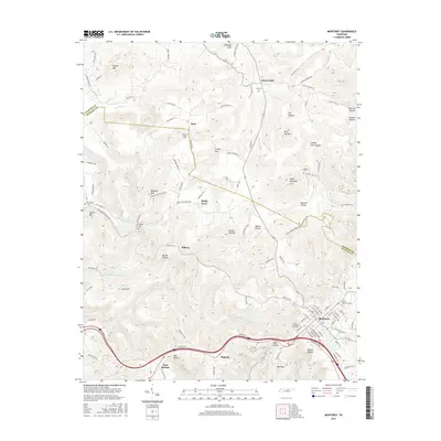
 2013 Monterey2013 Print · USGSCovers Monterey, including Pinhook, Beaver Hill, and other nearby areas
 - 2013 Map of Obey City, 2013 Print
 2013 Obey City2013 Print · USGSCovers Monterey, including Cliff Springs, Green Pond, and other nearby areas
 - 2013 Map of Campbell Junction, 2013 Print
 2013 Campbell Junction2013 Print · USGSCovers Monterey, including Hillwood Estates, Pomona Road, and other nearby areas
 - 2016 Map of Monterey, 2016 Print
 2016 Monterey2016 Print · USGSCovers Monterey, including Pinhook, Beaver Hill, and other nearby areas
 - 2016 Map of Monterey Lake, 2016 Print
 2016 Monterey Lake2016 Print · USGSCovers Monterey, including Taylors, Dug Hill, and other nearby areas
 - 2016 Map of Campbell Junction, 2016 Print
 2016 Campbell Junction2016 Print · USGSCovers Monterey, including Hillwood Estates, Pomona Road, and other nearby areas
 - 2016 Map of Obey City, 2016 Print
 2016 Obey City2016 Print · USGSCovers Monterey, including Cliff Springs, Green Pond, and other nearby areas
 - 2019 Map of Obey City, 2019 Print
 2019 Obey City2019 Print · USGSCovers Monterey, including Cliff Springs, Green Pond, and other nearby areas
 - 2019 Map of Monterey, 2019 Print
 2019 Monterey2019 Print · USGSCovers Monterey, including Pinhook, Beaver Hill, and other nearby areas
 - 2019 Map of Monterey Lake, 2019 Print
 2019 Monterey Lake2019 Print · USGSCovers Monterey, including Taylors, Dug Hill, and other nearby areas
 - 2019 Map of Campbell Junction, 2019 Print
 2019 Campbell Junction2019 Print · USGSCovers Monterey, including Hillwood Estates, Pomona Road, and other nearby areas
 - 2022 Map of Monterey, 2022 Print
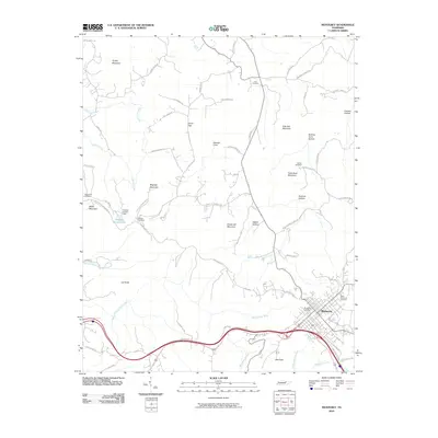
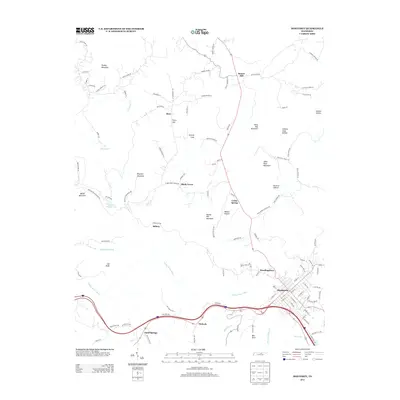
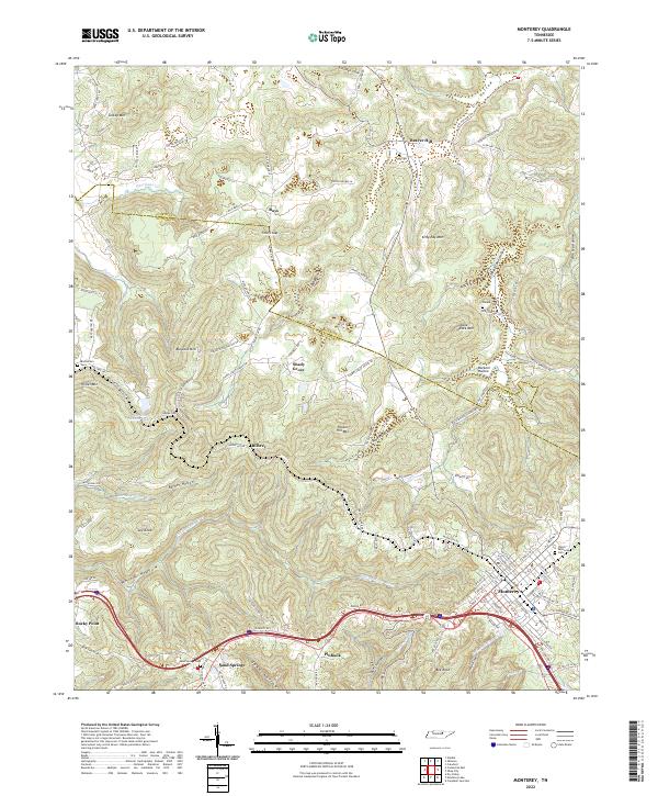 2022 Monterey2022 Print · USGSUpper Cumberland Plateau life is captured here in the early twenty-first century as the town of Monterey expands along its ridge. Researchers can trace family sites at Welch Memorial Cem and find smaller communities like Sand Springs and Shady Grove.
 - 2022 Map of Obey City, 2022 Print
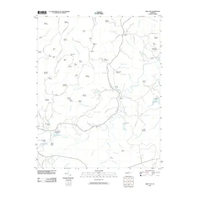
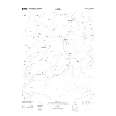
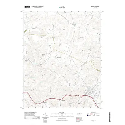
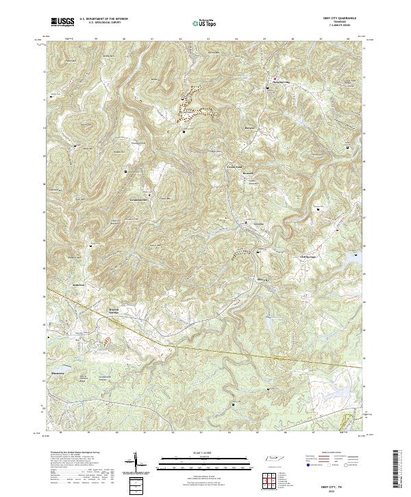 2022 Obey City2022 Print · USGSThe Cumberland Plateau near the Overton and Putnam county line reveals a dense network of rural settlements and family cemeteries. Trace local genealogy and land use across the ridges through Obey City, Hanging Limb, and landmarks like Steel Tram Ridge.
 - 2022 Map of Campbell Junction, 2022 Print
 2022 Campbell Junction2022 Print · USGSCumberland County at the headwaters of the Caney Fork reveals a landscape of high plateau ridges and deep hollows. Researchers can trace family roots through several local burial grounds including Welch Cem, Mayland Cem, and the high ground of Stillhouse Rock.
 - 2022 Map of Monterey Lake, 2022 Print
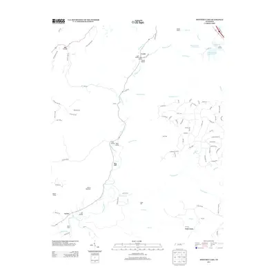
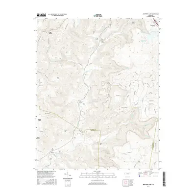
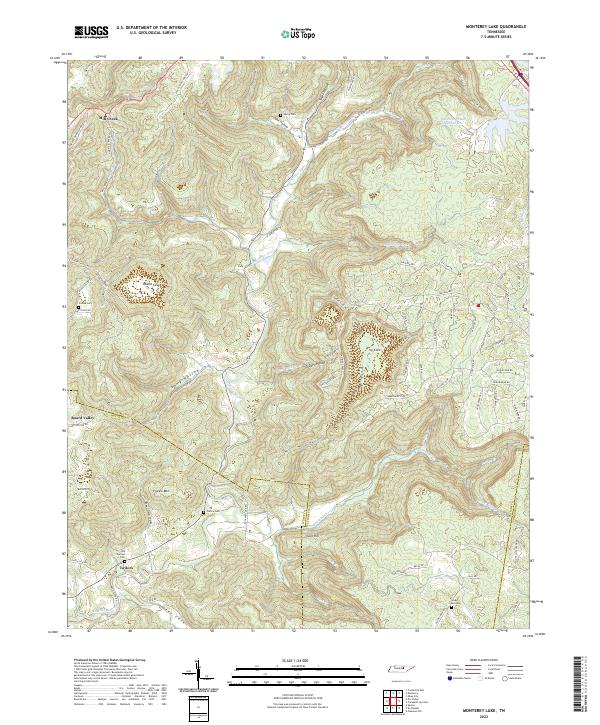 2022 Monterey Lake2022 Print · USGSUpper Cumberland heritage is preserved in this modern look at the rugged Putnam and White County borders. Researchers can locate ancestral landmarks like Henry Cem and France Cem along the winding Calfkiller River and its many tributary coves.
End of results
Showing maps 1-20 of 20
Top cities near Monterey
- Cookeville historical maps
- Crossville historical maps
- Sparta historical maps
- Livingston historical maps
- Algood historical maps
- Pleasant Hill historical maps
Top neighborhoods of Monterey
Frequently asked questions
- What are the different types of historical maps available for Monterey?
- What is the oldest map of Monterey?
- Where can I purchase historical maps of Monterey for my home or office?
- Where can I download high-res historical maps of Monterey?
- Are there historical topographic maps available for Monterey?
- Is there historical aerial imagery available for Monterey?
- Where are historical maps of Monterey sourced from?