2000s (21st Century) Maps of Sevierville, Tennessee
Explore 25 historic maps of Sevierville from the 2000s (21st Century). These maps offer a rare glimpse into what life looked like during the 2000s — showing old roads, neighborhoods, homes, and landmarks that have changed or disappeared over time.
Whether you're researching your family's past, planning a metal detecting trip, or studying how Sevierville's landscape evolved across the 2000s, these high-resolution maps are a powerful tool for exploring the history of this region.
- Focus on a specific era: All maps on this page are from the 2000s, giving you a focused view of this time period.
- See what’s changed: Compare century-old streets, trails, and buildings to today's modern landscape using overlays and satellite layers.
- Research with precision: Use these maps for genealogy, historical research, land use analysis, or educational projects.
- View, download, or print: Maps are fully viewable online in high resolution, and can be downloaded or printed for your own records.
Start exploring Sevierville's history through authentic maps from the 2000s. This is your window into the past.
Sevierville, TN maps
(25)- 2010 Map of Pigeon Forge, 2010 Print
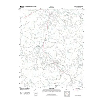 2010 Pigeon Forge2010 Print · USGSSevierville and Pigeon Forge are shown during a period of significant valley growth along the Little Pigeon River. Researchers can trace family sites at Shiloh Memorial Cemetery, find old river crossings like Large Ford, and locate landmarks such as Hodsdon Bridge.
 - 2010 Map of Boyds Creek, 2010 Print
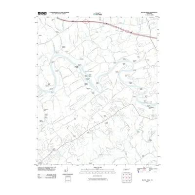 2010 Boyds Creek2010 Print · USGSThe French Broad River valley in the early twenty-first century reveals a landscape shaped by its winding water and deep-rooted family history. Researchers can locate historic river crossings at Huffaker Ferry and several legacy burial sites like the Trundles Crossroads Cemetery and Boyds Creek Cemetery.
 - 2010 Map of Douglas Dam, 2010 Print
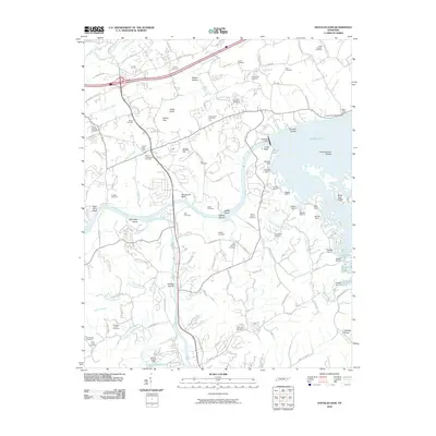 2010 Douglas Dam2010 Print · USGSSevier County during the early twenty-first century shows a landscape shaped by the Tennessee Valley Authority and long-standing family settlements. Genealogists and local historians can trace ancestral sites at Henrys Crossroads and Beech Springs while mapping the reservoir shoreline near Douglas Dam.
 - 2010 Map of Richardson Cove, 2010 Print
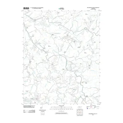 2010 Richardson Cove2010 Print · USGSSevier County's highland communities and deep coves are recorded here as they appeared in the early 21st century. Researchers can locate numerous family burial sites and historical landmarks, from the Harrisburg Covered Bridge to the East Fork Mine and Pittman Center.
 - 2010 Map of New Market, 2010 Print
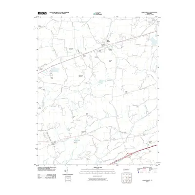 2010 New Market2010 Print · USGSThe community of New Market and the surrounding Tennessee hills are captured here just after the turn of the millennium. Researchers can trace the region's industrial and family ties through the North Friends Station Mine, French Mill, and McBee Cemetery.
 - 2013 Map of New Market, 2013 Print
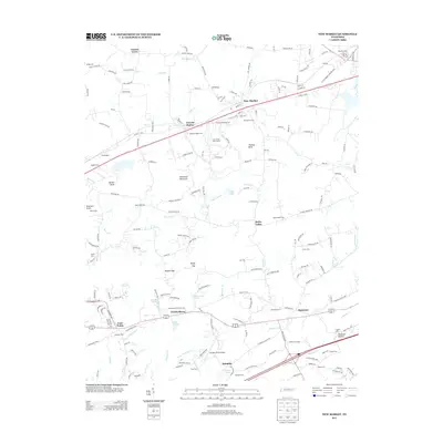 2013 New Market2013 Print · USGSNew Market and the surrounding Tennessee valleys are captured here in the early twenty-first century, showing a landscape of deep-rooted settlements and family farms. Local historians can trace family names and historic sites from Friends Station to the French Mill and Wooten Chapel Cem.
 - 2013 Map of Richardson Cove, 2013 Print
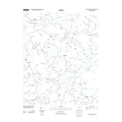 2013 Richardson Cove2013 Print · USGSSevier County in the early twenty-first century is a landscape of valley coves and mountain gaps shaped by the Little Pigeon River. Researchers can trace old mountain routes and family settlements near the Harrisburg Covered Bridge, Locust Ridge, and Emerts Cove.
 - 2013 Map of Pigeon Forge, 2013 Print
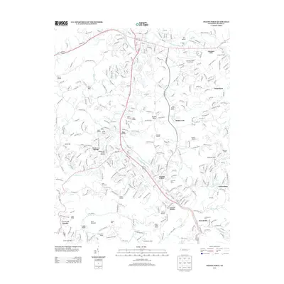 2013 Pigeon Forge2013 Print · USGSPigeon Forge and the surrounding Sevier County foothills are captured here in the early twenty-first century as tourism and residential growth reshaped the valley. Researchers can trace historic family-named locations and community landmarks from Mount Zion and Henderson Springs to Williamsburg.
 - 2013 Map of Douglas Dam, 2013 Print
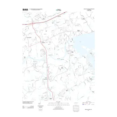 2013 Douglas Dam2013 Print · USGSSevier County at the start of the 2010s shows a landscape of river-valley settlements and the expansive shoreline of Douglas Lake. Trace local heritage through historic hubs like Henry Crossroads, Catlettsburg, and Cook Mill.
 - 2013 Map of Boyds Creek, 2013 Print
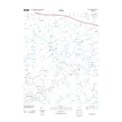 2013 Boyds Creek2013 Print · USGSThis part of East Tennessee reflects a landscape defined by the winding French Broad River in the early twenty-first century. Researchers can trace land ownership and community history near Trundle Crossroad, Peters Mill, and the Johnson Frazier Cem.
 - 2016 Map of Boyds Creek, 2016 Print
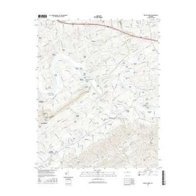 2016 Boyds Creek2016 Print · USGSThe French Broad River valley along the Knox and Sevier county line is captured here in the mid-2010s. Researchers can trace deep family roots through numerous burial grounds like Boyds Creek Cem and Trundle Crossroads Cem, or locate historic sites like Peters Mill.
 - 2016 Map of Douglas Dam, 2016 Print
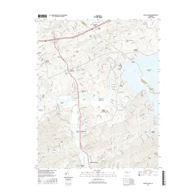 2016 Douglas Dam2016 Print · USGSThe French Broad River valley in the early 21st century remains a landscape of deep family roots and river-driven geography. Researchers can locate numerous family burial sites like Old Gists Creek Cem and historic landmarks including Cook Mill and Douglas Dam.
 - 2016 Map of New Market, 2016 Print
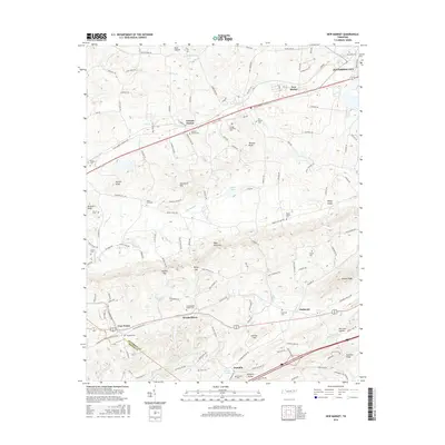 2016 New Market2016 Print · USGSEast Tennessee's rolling gaps and ridges are captured here in the mid-2010s, showing the enduring rural character of the Jefferson and Sevier County line. Genealogists can trace family roots through numerous sites like McCampbells Chapel Cem, Oakes Cem, and the community at Friends Station.
 - 2016 Map of Richardson Cove, 2016 Print
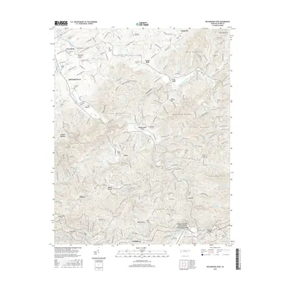 2016 Richardson Cove2016 Print · USGSSevier County's foothills and mountain ridges are documented here during the mid-2010s, where the Smokies meet local coves. Genealogists and hikers can trace family-named sites like Catons Chapel Cem and landmarks such as the Harrisburg Covered Bridge.
 - 2016 Map of Pigeon Forge, 2016 Print
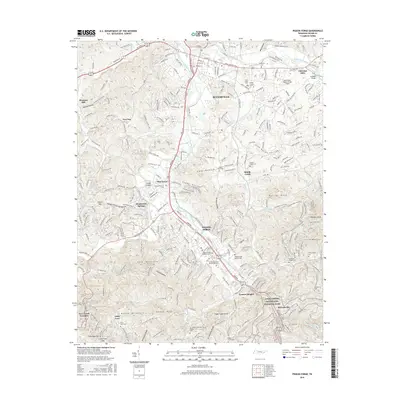 2016 Pigeon Forge2016 Print · USGSSevierville and Pigeon Forge are shown here as the bustling centers of the Smokies gateway just a few years ago. Researchers can locate many family landmarks and burial sites, including Shiloh Memorial Cem, Henderson Springs, and the McMahan Chapel Cem.
 - 2019 Map of Pigeon Forge, 2019 Print
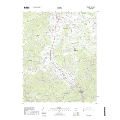 2019 Pigeon Forge2019 Print · USGSSevier County and the foothills of the Smokies appear in high detail during this era of modern expansion. Researchers can trace numerous local burial sites and landmarks, from Shiloh Memorial Cem to the Gatlinburg-Pigeon Forge Airport.
 - 2019 Map of Boyds Creek, 2019 Print
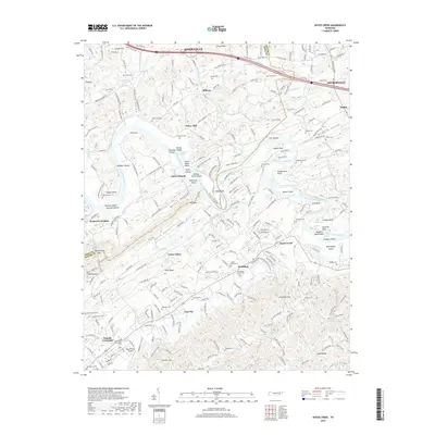 2019 Boyds Creek2019 Print · USGSThe Knox and Sevier county borderlands are captured here in the late twenty-tens as rural communities and family farms line the river. Trace local genealogy through Trundle Crossroads and McMahan, or locate family burial sites at Salem Cem and Boyds Creek Cem.
 - 2019 Map of Richardson Cove, 2019 Print
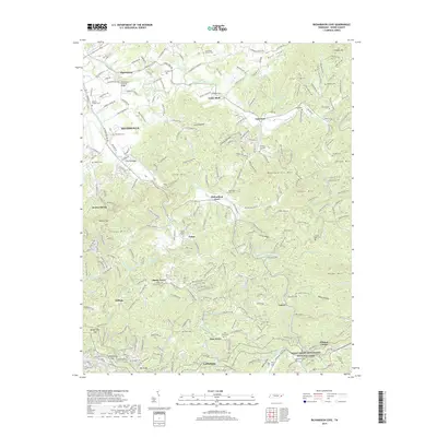 2019 Richardson Cove2019 Print · USGSSevier County's foothills at the edge of the Smokies are captured here in the late 2010s. Researchers can locate dozens of family burial sites such as Richardson Cove Cem and Evans Chapel Cem or trace the historic Harrisburg Covered Bridge.
 - 2019 Map of Douglas Dam, 2019 Print
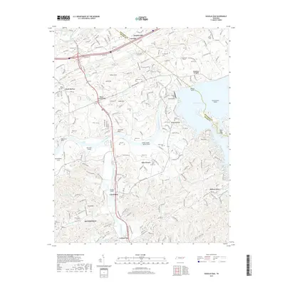 2019 Douglas Dam2019 Print · USGSSevier and Jefferson counties come together here during the late twenty-tens, where the modern landscape meets deep-rooted Tennessee history. Genealogists and local historians can trace family sites at Henry Crossroads Cem, Millican Grove, and the historic Cook Mill area.
 - 2019 Map of New Market, 2019 Print
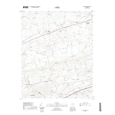 2019 New Market2019 Print · USGSJefferson and Sevier counties appear in this detailed 2019 survey as the historic valley communities maintain their rural character. Genealogists can trace local roots through numerous sites like McCampbells Chapel Cem, Woolardtown, and Friends Station.
 - 2022 Map of Richardson Cove, 2022 Print
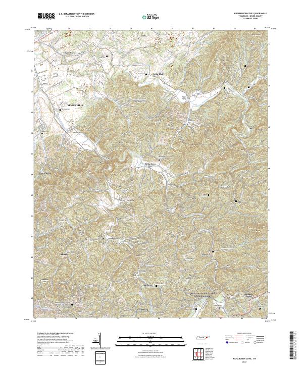 2022 Richardson Cove2022 Print · USGSSevier County communities and mountain gaps are mapped in detail here as the modern era meets the edge of the national forest. Researchers can trace family history through dozens of rural landmarks, including Catons Chapel Cemetery, Richardson Cove, and the Marion Green Cemetery.
 - 2022 Map of Pigeon Forge, 2022 Print
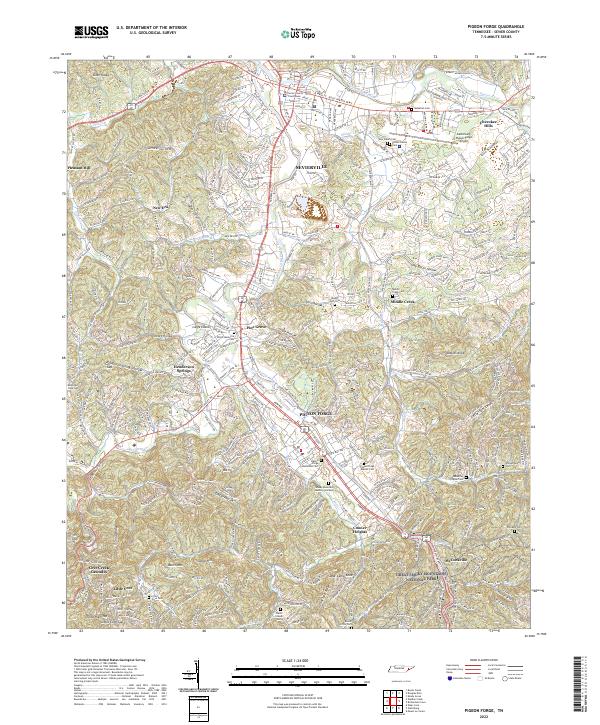 2022 Pigeon Forge2022 Print · USGSSevier County’s heartland comes into focus during this modern era, showing the growing corridor between Sevierville and Pigeon Forge. Researchers can trace generations of local history through dozens of landmarks like McMahan Cem, Middle Creek Cem, and the Sevier County Courthouse.
 - 2022 Map of New Market, 2022 Print
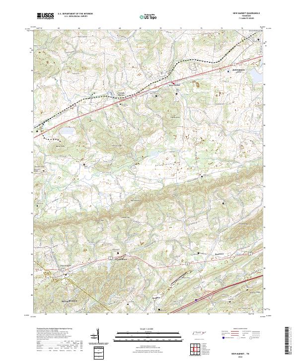 2022 New Market2022 Print · USGSJefferson and Sevier counties are shown here in modern detail, where ridge-and-valley terrain shapes the historic settlements of New Market and Friends Station. Researchers can trace family roots through numerous local sites like McCampbells Chapel Cem and Piedmont.
 - 2022 Map of Douglas Dam, 2022 Print
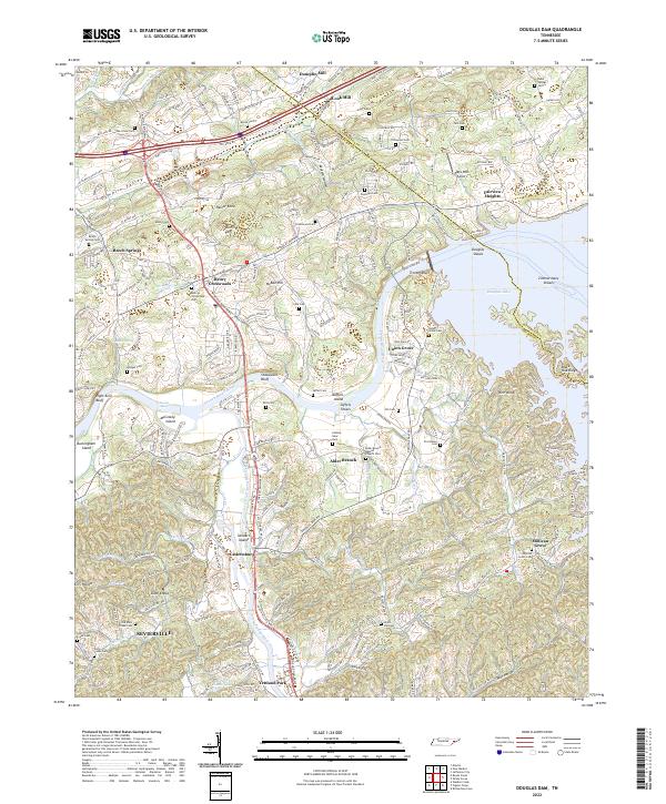 2022 Douglas Dam2022 Print · USGSSevier and Jefferson Counties come together at the junction of the French Broad and Little Pigeon Rivers in the early 2020s. Genealogists can trace family landmarks like Henry Crossroads, Millican Grove, and the Alder Branch Baptist Church Cem.
 - 2022 Map of Boyds Creek, 2022 Print
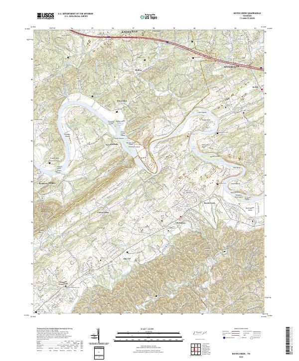 2022 Boyds Creek2022 Print · USGSThe French Broad River valley in East Tennessee remains a landscape of deep-rooted family history and winding waterways. Researchers can trace numerous ancestral sites like the Trundle Family Cemetery, Peters Mill, and the many islands of Seven Islands.
End of results
Showing maps 1-25 of 25
Top cities near Sevierville
- Knoxville historical maps
- Morristown historical maps
- Jefferson City historical maps
- Pigeon Forge historical maps
- Gatlinburg historical maps
- Mascot historical maps
See more
Top neighborhoods of Sevierville
Frequently asked questions
- What are the different types of historical maps available for Sevierville?
- What is the oldest map of Sevierville?
- Where can I purchase historical maps of Sevierville for my home or office?
- Where can I download high-res historical maps of Sevierville?
- Are there historical topographic maps available for Sevierville?
- Is there historical aerial imagery available for Sevierville?
- Where are historical maps of Sevierville sourced from?