2000s (21st Century) Maps of Smith County, Tennessee
Explore 65 historic maps of Smith County from the 2000s (21st Century). These maps offer a rare glimpse into what life looked like during the 2000s — showing old roads, neighborhoods, homes, and landmarks that have changed or disappeared over time.
Whether you're researching your family's past, planning a metal detecting trip, or studying how Smith County's landscape evolved across the 2000s, these high-resolution maps are a powerful tool for exploring the history of this region.
- Focus on a specific era: All maps on this page are from the 2000s, giving you a focused view of this time period.
- See what’s changed: Compare century-old streets, trails, and buildings to today's modern landscape using overlays and satellite layers.
- Research with precision: Use these maps for genealogy, historical research, land use analysis, or educational projects.
- View, download, or print: Maps are fully viewable online in high resolution, and can be downloaded or printed for your own records.
Start exploring Smith County's history through authentic maps from the 2000s. This is your window into the past.
Smith County, TN maps
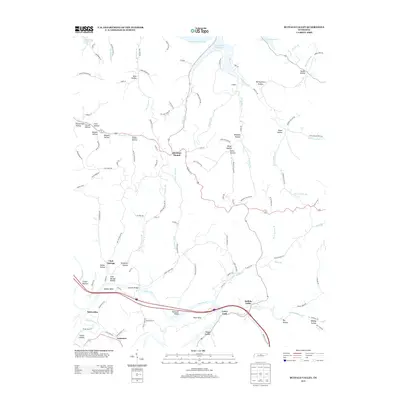
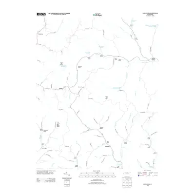
(65)- 2010 Map of Hillsdale, 2010 Print
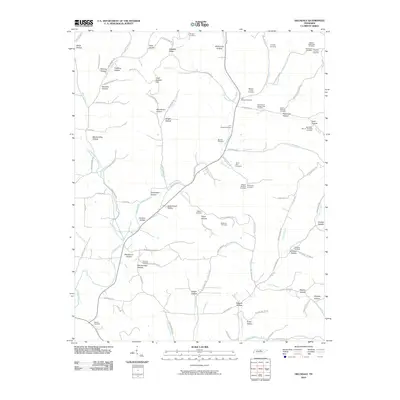 2010 Hillsdale2010 Print · USGSCovers Smith County, including Lafayette, Beech Hill, and other nearby areas
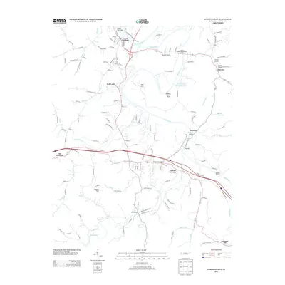
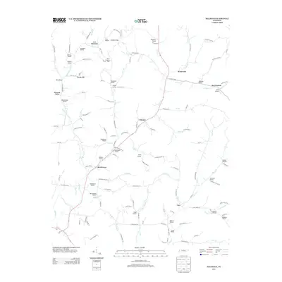
 - 2010 Map of Gordonsville, 2010 Print
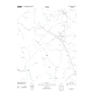
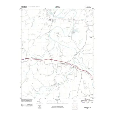 2010 Gordonsville2010 Print · USGSCovers Smith County, including Carthage, South Carthage, and other nearby areas
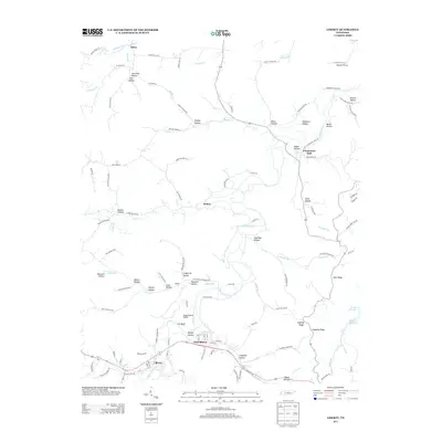
 - 2010 Map of Dixon Springs, 2010 Print
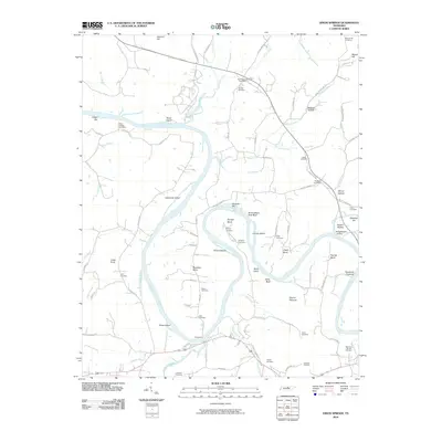 2010 Dixon Springs2010 Print · USGSCovers Smith County, including Riddleton, Dixon Springs, and other nearby areas
 - 2010 Map of Alexandria, 2010 Print
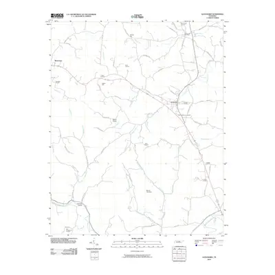 2010 Alexandria2010 Print · USGSCovers Smith County, including Watertown, Alexandria, and other nearby areas
 - 2010 Map of Bellwood, 2010 Print
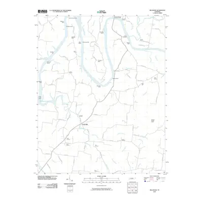 2010 Bellwood2010 Print · USGSCovers Smith County, including Centerville, Taylorsville, and other nearby areas
 - 2010 Map of New Middleton, 2010 Print
 2010 New Middleton2010 Print · USGSCovers Smith County, including Shaver Town, Flat Rock, and other nearby areas
 - 2010 Map of Granville, 2010 Print
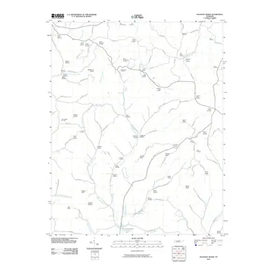
 2010 Granville2010 Print · USGSCovers Smith County, including Highland, Accident, and other nearby areas
 - 2010 Map of Pleasant Shade, 2010 Print
 2010 Pleasant Shade2010 Print · USGSCovers Smith County, including Lafayette, Gibbs Crossroads, and other nearby areas
 - 2010 Map of Buffalo Valley, 2010 Print
 2010 Buffalo Valley2010 Print · USGSCovers Smith County, including Chestnut Mound, Lancaster, and other nearby areas
 - 2010 Map of Willette, 2010 Print
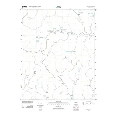 2010 Willette2010 Print · USGSCovers Smith County, including Prosperity, Goose Horn, and other nearby areas
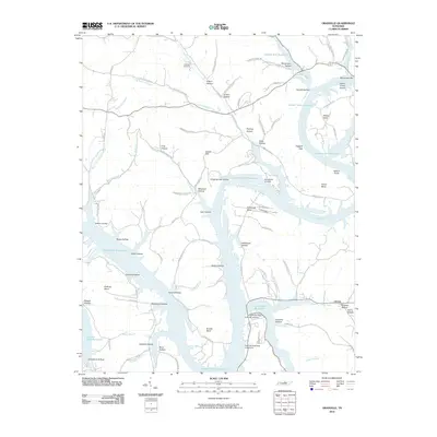
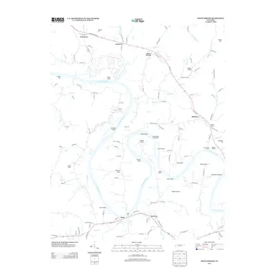
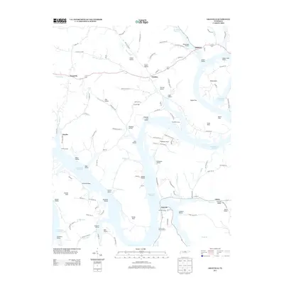
 - 2010 Map of Carthage, 2010 Print
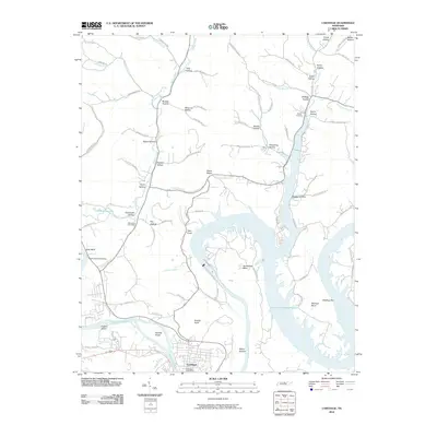 2010 Carthage2010 Print · USGSCovers Smith County, including Carthage, South Carthage, and other nearby areas
 - 2010 Map of Liberty, 2010 Print
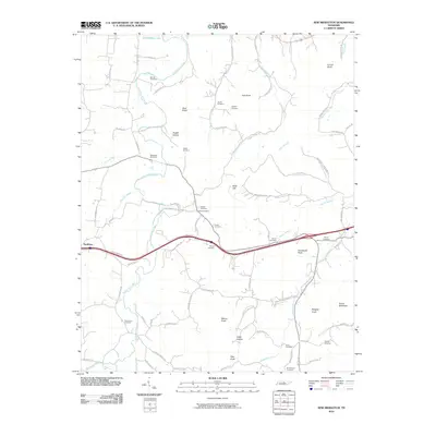
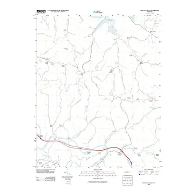
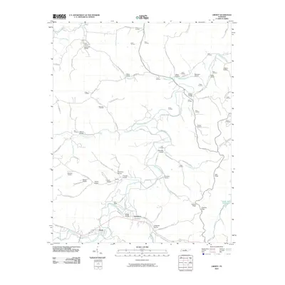 2010 Liberty2010 Print · USGSCovers Smith County, including Liberty, Dowelltown, and other nearby areas
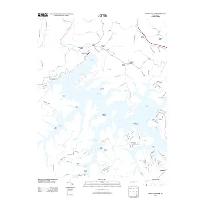
 - 2010 Map of Center Hill Dam, 2010 Print
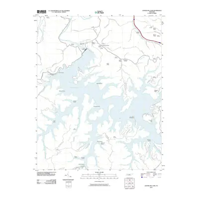 2010 Center Hill Dam2010 Print · USGSCovers Smith County, including Laurel Hill, Buckner, and other nearby areas
 - 2013 Map of Buffalo Valley, 2013 Print
 2013 Buffalo Valley2013 Print · USGSCovers Smith County, including Chestnut Mound, Lancaster, and other nearby areas
 - 2013 Map of Gordonsville, 2013 Print
 2013 Gordonsville2013 Print · USGSCovers Smith County, including Carthage, South Carthage, and other nearby areas
 - 2013 Map of Liberty, 2013 Print
 2013 Liberty2013 Print · USGSCovers Smith County, including Liberty, Dowelltown, and other nearby areas
 - 2013 Map of Willette, 2013 Print
 2013 Willette2013 Print · USGSCovers Smith County, including Prosperity, Goose Horn, and other nearby areas
 - 2013 Map of Center Hill Dam, 2013 Print
 2013 Center Hill Dam2013 Print · USGSCovers Smith County, including Laurel Hill, Buckner, and other nearby areas
 - 2013 Map of Dixon Springs, 2013 Print
 2013 Dixon Springs2013 Print · USGSCovers Smith County, including Riddleton, Dixon Springs, and other nearby areas
 - 2013 Map of Hillsdale, 2013 Print
 2013 Hillsdale2013 Print · USGSCovers Smith County, including Lafayette, Beech Hill, and other nearby areas
 - 2013 Map of Granville, 2013 Print
 2013 Granville2013 Print · USGSCovers Smith County, including Highland, Accident, and other nearby areas
 - 2013 Map of Carthage, 2013 Print
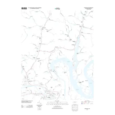 2013 Carthage2013 Print · USGSCovers Smith County, including Carthage, South Carthage, and other nearby areas
 - 2013 Map of Pleasant Shade, 2013 Print
 2013 Pleasant Shade2013 Print · USGSCovers Smith County, including Lafayette, Gibbs Crossroads, and other nearby areas
 - 2013 Map of Bellwood, 2013 Print
 2013 Bellwood2013 Print · USGSCovers Smith County, including Centerville, Taylorsville, and other nearby areas
 - 2013 Map of Alexandria, 2013 Print
 2013 Alexandria2013 Print · USGSCovers Smith County, including Watertown, Alexandria, and other nearby areas
Showing maps 1-25 of 65
Top cities of Smith County
Frequently asked questions
- What are the different types of historical maps available for Smith County?
- What is the oldest map of Smith County?
- Where can I purchase historical maps of Smith County for my home or office?
- Where can I download high-res historical maps of Smith County?
- Are there historical topographic maps available for Smith County?
- Is there historical aerial imagery available for Smith County?
- Where are historical maps of Smith County sourced from?