2020s Maps of Smith County, Tennessee
Explore 13 historic maps of Smith County from the 2020s. These maps offer a rare glimpse into what life looked like during the 2020s — showing old roads, neighborhoods, homes, and landmarks that have changed or disappeared over time.
Whether you're researching your family's past, planning a metal detecting trip, or studying how Smith County's landscape evolved across the 2020s, these high-resolution maps are a powerful tool for exploring the history of this region.
- Focus on a specific era: All maps on this page are from the 2020s, giving you a focused view of this time period.
- See what’s changed: Compare century-old streets, trails, and buildings to today's modern landscape using overlays and satellite layers.
- Research with precision: Use these maps for genealogy, historical research, land use analysis, or educational projects.
- View, download, or print: Maps are fully viewable online in high resolution, and can be downloaded or printed for your own records.
Start exploring Smith County's history through authentic maps from the 2020s. This is your window into the past.
Smith County, TN maps
(13)- 2022 Map of Bellwood, 2022 Print
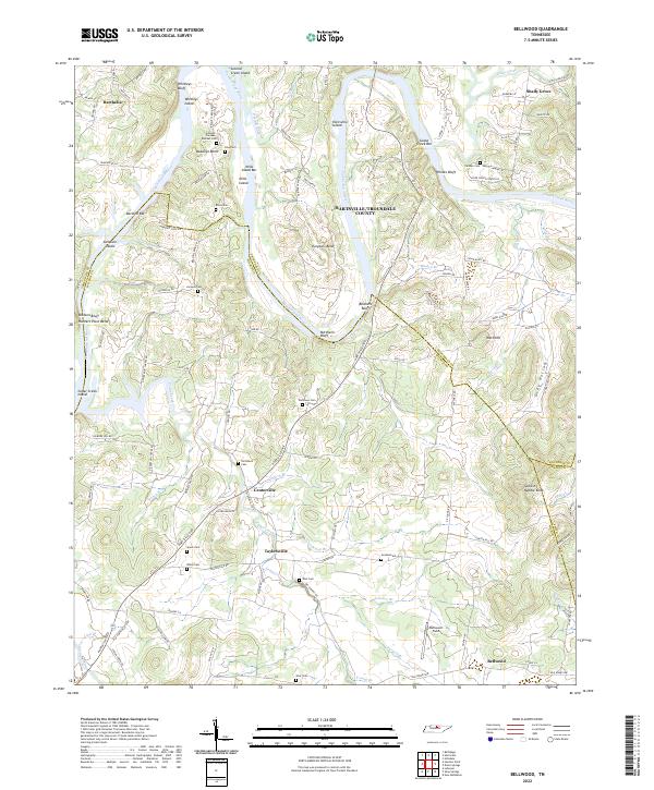 2022 Bellwood2022 Print · USGSThe winding banks of the Cumberland River in Wilson County come to life in this detailed study of the modern Tennessee landscape. Researchers can trace family history through numerous small burial grounds like Jackson Cem and Goshen Cem or explore settlements at Taylorsville and Centerville.
 - 2022 Map of Hillsdale, 2022 Print
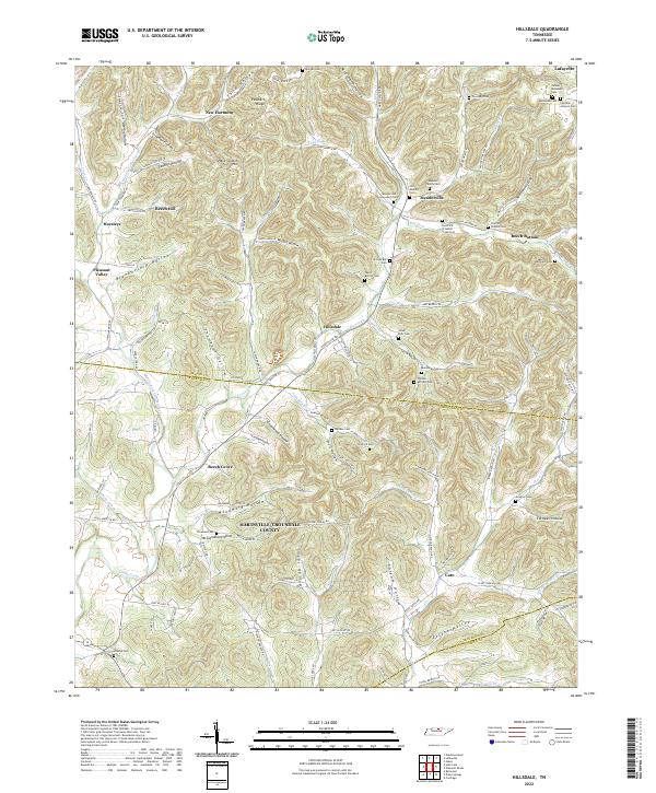 2022 Hillsdale2022 Print · USGSMacon and Trousdale counties in north-central Tennessee are shown here as a landscape of deep hollows and family-named ridges. Local historians can trace family ties through numerous burial sites like Meadorville Graveyard Cem, Stalcup Cem, and Wallace Cem.
 - 2022 Map of Dixon Springs, 2022 Print
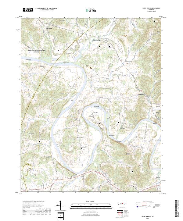 2022 Dixon Springs2022 Print · USGSThe Cumberland River corridor near Dixon Springs was a landscape defined by its winding bends and family settlements in the early twenty-first century. Genealogists can locate numerous family burial grounds including Maceys Hill Cem, Dixon Springs Cem, and Porter Cem.
 - 2022 Map of New Middleton, 2022 Print
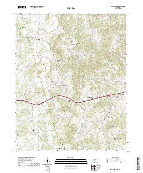 2022 New Middleton2022 Print · USGSSmith County hill country is captured here during the early twenty-first century, showing the enduring rural layout of Tennessee's Central Basin. Researchers can trace ancestral locations through numerous family burial sites like Barnett Cem and Phillips Cem or explore established hamlets like Grant and Commerce.
 - 2022 Map of Alexandria, 2022 Print
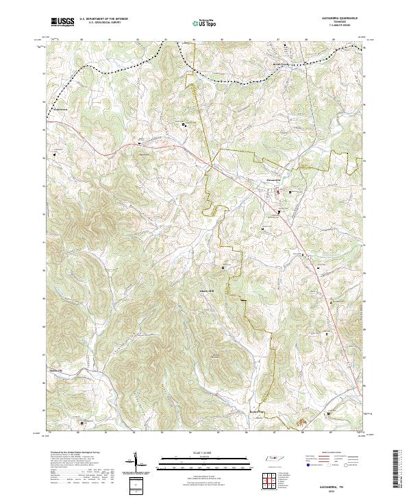 2022 Alexandria2022 Print · USGSMiddle Tennessee farming communities and crossroads appear here in the early twenty-first century as the landscape remains defined by its deep hollows and creek beds. Genealogists can trace family names through numerous burial sites like Grandstaff Cem, Hearn Hill Cem, and Vandatta Cem.
 - 2022 Map of Willette, 2022 Print
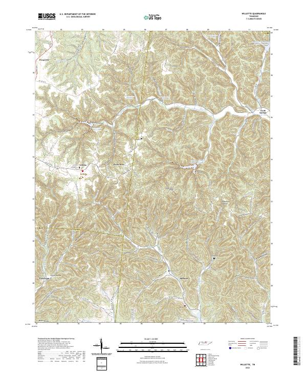 2022 Willette2022 Print · USGSUpper Middle Tennessee hill country is captured here in the early twenty-first century where Macon, Jackson, and Smith counties meet. Researchers can trace family history through numerous rural burials like Thomas Cemetery and Clark Cemetery, or explore the deep hollows of Willette and North Springs.
 - 2022 Map of Pleasant Shade, 2022 Print
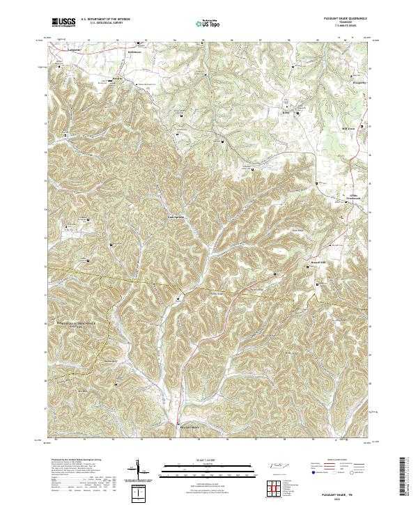 2022 Pleasant Shade2022 Print · USGSMacon and Smith counties are shown in detail during the early 2020s, revealing a landscape deeply rooted in family history. Researchers can locate numerous family burial sites like William Abner Hargis Cem and trace old routes through Wilmore Hollow and Gum Springs.
 - 2022 Map of Gordonsville, 2022 Print
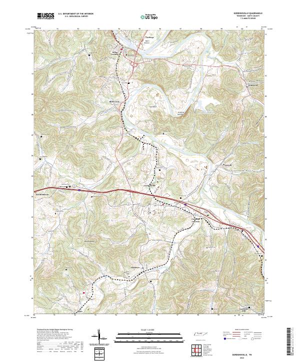 2022 Gordonsville2022 Print · USGSThe river valleys of Smith County are documented here in the early twenty-first century, showing the enduring landscape of the Caney Fork and Cumberland River. Genealogists can locate family landmarks like Old Winfree Home Place Cem, Baird Memorial Cem, and the settlement of Old Middleton.
 - 2022 Map of Liberty, 2022 Print
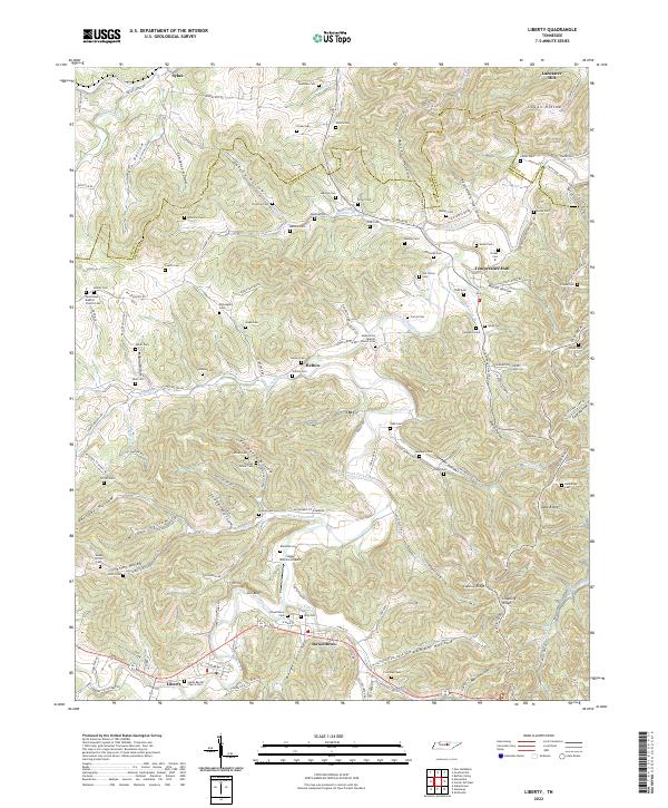 2022 Liberty2022 Print · USGSDeKalb County and the southern tip of Smith County are mapped here in the modern era as they follow the winding course of the Smith Fork Creek. Genealogists and historians can locate numerous family burial sites like Foutch Cem and Bates Cem, or trace early community centers in Liberty and Dowelltown.
 - 2022 Map of Buffalo Valley, 2022 Print
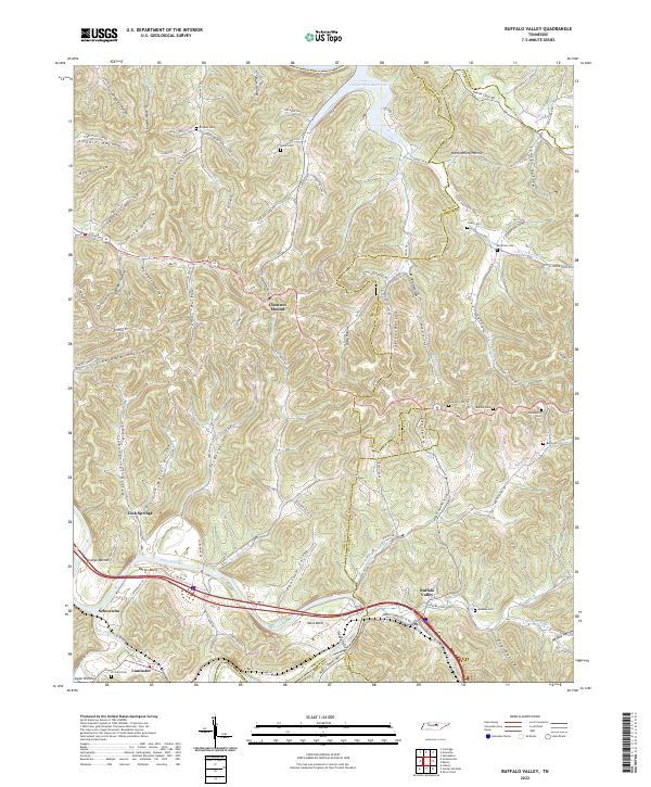 2022 Buffalo Valley2022 Print · USGSMiddle Tennessee's ridge-and-hollow landscape is captured here in the early twenty-first century as the Caney Fork winds through a network of rural settlements. Researchers can trace family history through numerous burial sites like Bockman Cem and Maddux Cem or locate old crossroads at Chestnut Mound and Lancaster.
 - 2022 Map of Center Hill Dam, 2022 Print
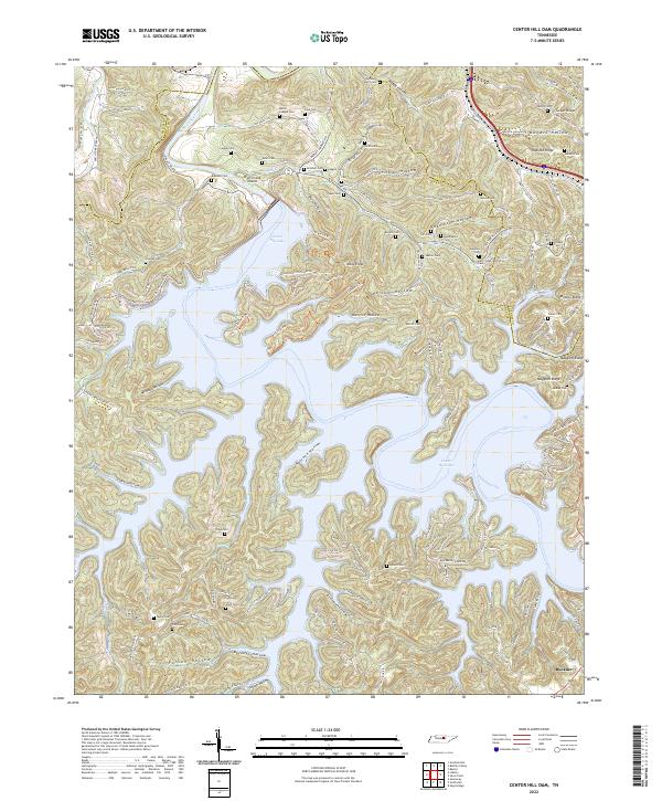 2022 Center Hill Dam2022 Print · USGSThis Tennessee highland region is shown here as a landscape of deep hollows and narrow ridges surrounding the waters of Center Hill Lake. Genealogists can trace family landmarks and burial sites like Mollie League Cem, Garr/Jones/Merritt Cem, and the settlement of Buckner.
 - 2022 Map of Carthage, 2022 Print
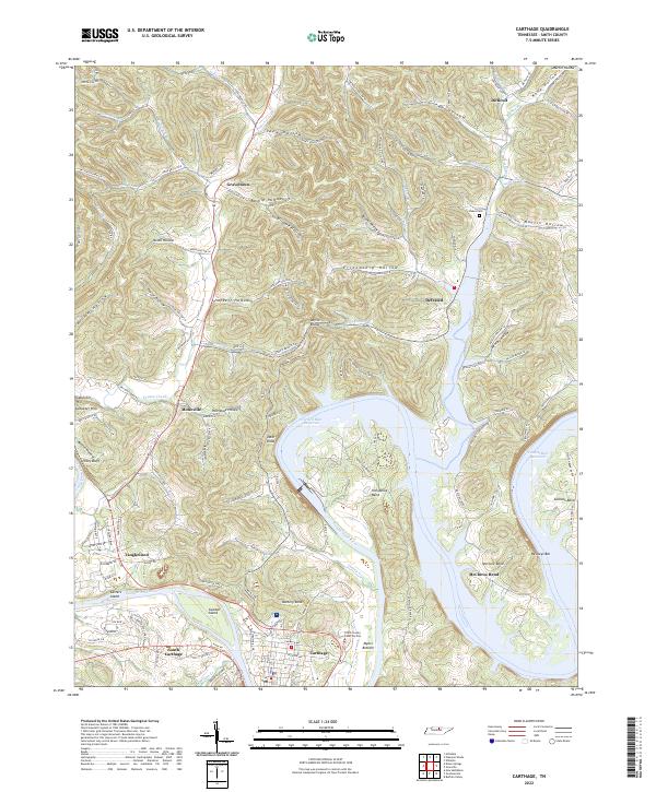 2022 Carthage2022 Print · USGSThe Cumberland River valley comes into focus in this recent study of Smith County. Genealogists and researchers can trace the modern layout of settlements like Defeated, Monoville, and Difficult alongside landmarks like Goodall Island and Dukes Cem.
 - 2022 Map of Granville, 2022 Print
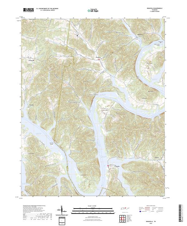 2022 Granville2022 Print · USGSThe hill country of Jackson County is defined here by the winding Cordell Hull Reservoir and its many wooded hollows. Researchers can trace family-named landmarks like Holland Cem, investigate river features like Niagara Shoals, and locate settlements such as Granville and Kempville.
End of results
Showing maps 1-13 of 13
Top cities of Smith County
Frequently asked questions
- What are the different types of historical maps available for Smith County?
- What is the oldest map of Smith County?
- Where can I purchase historical maps of Smith County for my home or office?
- Where can I download high-res historical maps of Smith County?
- Are there historical topographic maps available for Smith County?
- Is there historical aerial imagery available for Smith County?
- Where are historical maps of Smith County sourced from?