Old Maps of Mitchellville, Tennessee for Metal Detecting
Plan your next treasure hunt with 17 historic maps of Mitchellville. Find old homesites, ghost towns, trails, and gathering spots that may be lost to time — perfect for identifying promising metal detecting locations.
- Locate forgotten sites: Uncover places like long-lost settlements, abandoned rail lines, or gathering spots.
- Plan better hunts: Use map overlays combined with LiDAR or satellite views to narrow in on historically rich areas.
- Made for detectorists: Thousands of hobbyists use these maps to discover relics, coins, and hidden history.
Use these historic maps to boost your research and find new opportunities beneath the surface of Mitchellville.
Mitchellville, TN maps
(17)- 1942 Map of Gallatin
 1942 Gallatin1942 Print · USGSThe Tennessee-Kentucky borderlands were a crossroads of river and rail during the early war years. Genealogists and historians can trace family roots through dozens of named settlements like Bethpage, Prices Mill, and Mitchellville, or locate historic river crossings such as Kirkpatricks Ferry.
 - 1951 Map of Franklin, 1952 Print
 1951 Franklin1952 Print · USGSThe Kentucky-Tennessee borderlands in the early fifties come to life on this detailed map of the Franklin area. Genealogists and historians can trace the Louisville and Nashville rail line and locate rural landmarks like Peden Mill and Union Chapel.2 unique versions available
 - 1956 Map of Portland, 1957 Print
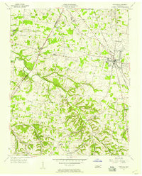 1956 Portland1957 Print · USGSSumner County during the mid-fifties shows a landscape of small farming hamlets and steam-era rail infrastructure. Researchers can trace family roots at Byram Chapel, locate the site of Oakmont Sch, and follow the Louisville and Nashville line through Portland.4 unique versions available
 - 1956 Map of Nashville, 1971 Print
 1956 Nashville1971 Print · USGSThe Tennessee-Kentucky borderlands come into focus in the mid-1960s as major reservoir projects transformed the Cumberland and Tennessee river valleys. Researchers can trace the rail networks of the Louisville and Nashville and visit sites like Fort Campbell and Fort Donelson National Military Park.2 unique versions available
 - 1959 Map of Nashville
 1959 Nashville1959 Print · USGSMiddle Tennessee and Southern Kentucky come into focus during the late fifties, showing the region's transition into a modern transportation and military hub. Researchers can trace the sprawling Fort Campbell Military Reservation or locate historic rail stops along the Tennessee Central Ry and Illinois Central RR.
 - 1968 Map of Franklin, 1969 Print
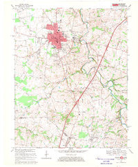 1968 Franklin1969 Print · USGSThe Kentucky and Tennessee borderlands come alive in this late 1960s survey, centered on the rail hub of Franklin. Researchers can trace the rural landscape from Green Lawn Cemetery down to the creek-side community of Mitchellville and the historic Peden Mill.4 unique versions available
 - 1985 Map of Bowling Green
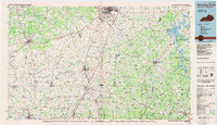 1985 Bowling Green1985 Print · USGSThe rolling borderlands of Kentucky and Tennessee are captured here in the mid-eighties, showing a landscape shaped by the Barren River and deep-rooted rail networks. Genealogists and researchers can trace local landmarks like Prices Mill, Highland Academy, and Green Lawn Cem.3 unique versions available
 - 2010 Map of Franklin, 2010 Print
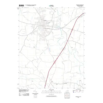 2010 Franklin2010 Print · USGSThe Kentucky-Tennessee borderlands appear here in the early twenty-first century, centered on the growing community of Franklin. Genealogists and local historians can trace family ties through Chisholm Cemetery, Duval Cemetery, and the river crossings at Turner Ford Rd.
 - 2010 Map of Portland, 2010 Print
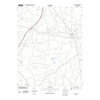 2010 Portland2010 Print · USGSSumner County at the start of the 2010s reveals a landscape where the growth of Portland meets a deep network of family burial sites. Genealogists can trace local heritage through Byrams Chapel Cemetery, Sang Cemetery, and the Hodges Cherry Mound Airport.
 - 2013 Map of Franklin, 2013 Print
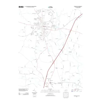 2013 Franklin2013 Print · USGSThe Kentucky-Tennessee border comes into focus in this 2012–2013 survey, detailing the rural communities spanning the state line. Researchers can trace family history through numerous landmarks like Peden Mill, Mitchellville Cem, and the community of Black Jack.
 - 2013 Map of Portland, 2013 Print
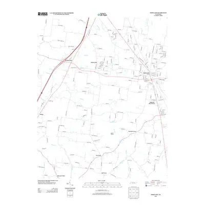 2013 Portland2013 Print · USGSSumner County in the early twenty-first century reveals a landscape of growing towns and resilient rural communities along the Highland Rim Terrace. Local history enthusiasts can trace established settlements like Portland and New Deal, or locate rural landmarks such as Phillip Bradshaw Lake and Chestnut Grove.
 - 2016 Map of Franklin, 2016 Print
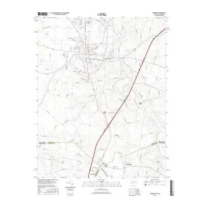 2016 Franklin2016 Print · USGSThe Kentucky-Tennessee borderlands south of Franklin are captured here in the mid-2010s, showing a landscape of deep-rooted rural communities and family cemeteries. Trace local history through the streets of Mitchellville or locate ancestral sites at Peden Cem and Black Jack.
 - 2016 Map of Portland, 2016 Print
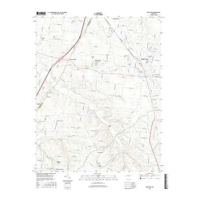 2016 Portland2016 Print · USGSSumner County at the Tennessee border reveals a landscape of dispersed agricultural communities and numerous family burial grounds during the mid-2010s. Genealogists can trace local heritage through sites like Byrams Chapel Cem, Hardin Cem, and the settlement at New Deal.
 - 2019 Map of Franklin, 2019 Print
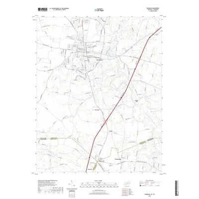 2019 Franklin2019 Print · USGSThe Kentucky-Tennessee borderland comes to life in this survey, showing the interconnectedness of rural communities across state lines. Trace local history through family cemeteries like Green Lawn Cem and settlements such as Peden Mill and Black Jack.
 - 2019 Map of Portland, 2019 Print
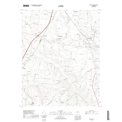 2019 Portland2019 Print · USGSSumner and Robertson counties near the Kentucky border show a mix of growing town centers and traditional rural hamlets in this late 2010s survey. Researchers can locate numerous historic burial sites and small communities like Byrams Chapel, Scattersville, and Maple Hill Cem.
 - 2022 Map of Portland, 2022 Print
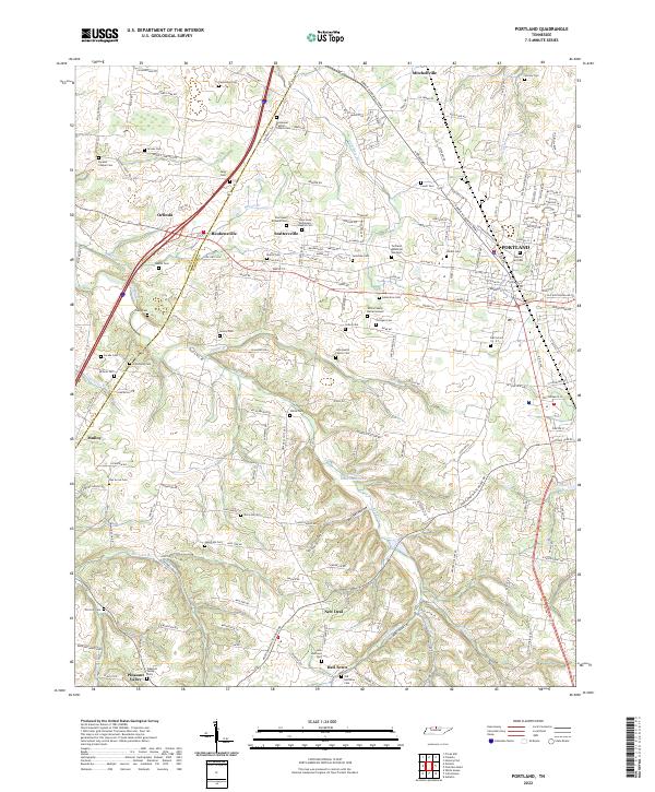 2022 Portland2022 Print · USGSNorthern Tennessee at the turn of the decade shows a landscape of growing towns and deep-rooted family history. Genealogists can trace local lineages through dozens of sites like the White Family Burial Ground, John Austin Family Cem, and Maple Hill Cem.
 - 2022 Map of Franklin, 2022 Print
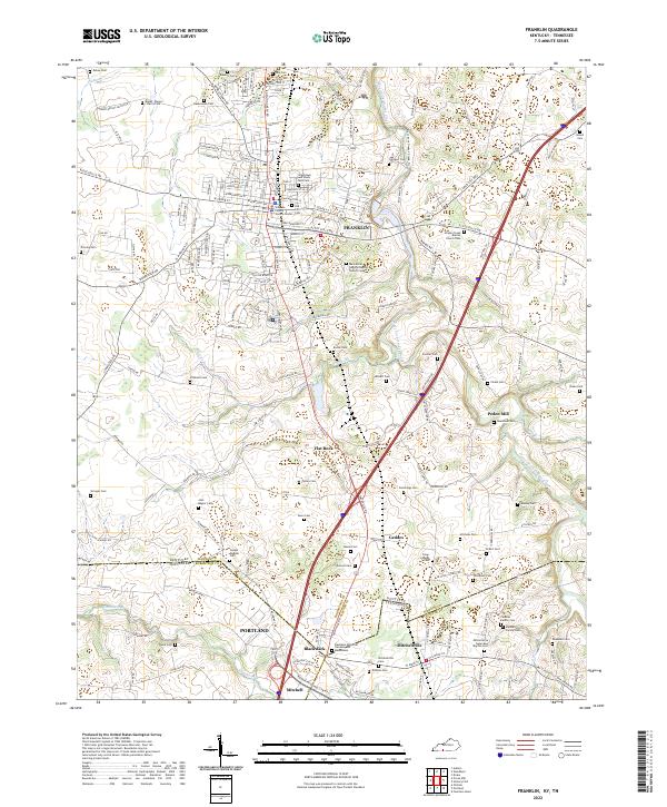 2022 Franklin2022 Print · USGSSouthern Kentucky and northern Tennessee meet along this corridor during a period of modern growth and deep-rooted rural history. Genealogists can trace family names at Peden Mill, the Mitchell Family Cem, and Drakes Creek Baptist Church Cem.
End of results
Showing maps 1-17 of 17
Top cities near Mitchellville
- Gallatin historical maps
- White House historical maps
- Portland historical maps
- Franklin historical maps
- Millersville historical maps
- Scottsville historical maps
See more
Frequently asked questions
- What are the different types of historical maps available for Mitchellville?
- What is the oldest map of Mitchellville?
- Where can I purchase historical maps of Mitchellville for my home or office?
- Where can I download high-res historical maps of Mitchellville?
- Are there historical topographic maps available for Mitchellville?
- Is there historical aerial imagery available for Mitchellville?
- Where are historical maps of Mitchellville sourced from?