Old Maps of Union County, Tennessee for Genealogy
Trace your family roots with 98 historic maps of Union County. These high-res maps reveal old neighborhoods, homesites, landmarks, and streets — helping you uncover where your ancestors lived and how the area evolved over time.
- Explore historic neighborhoods: Identify where your relatives may have lived in the 1800s or 1900s.
- Compare maps over time: Trace the changes in streets, buildings, and landmarks for multi-generational research.
- Perfect for genealogy & ancestry research: Used by family historians and researchers to map out lineage and migration.
These maps are an incredible resource for exploring your personal connection to Union County's past.
Union County, TN maps
(98)- 1893 Map of Briceville
 1893 Briceville1893 Print · USGSThe northern Tennessee coalfields and valleys come to life in the 1890s, when mining and rail were transforming the ridges of the Cumberland. Local historians can trace the paths of the Knoxville and Ohio R. R. and early settlements like Jacksboro, Coal Creek, and Oliver Springs.
 - 1895 Map of Briceville
 1895 Briceville1895 Print · USGSThe Cumberland Mountains and Powell Valley met a rapidly expanding railroad network in the late nineteenth century. Trace early industrial footprints and family-named hollows from Briceville and Clinton to the coal-rich slopes of Big Mountain.
 - 1896 Map of Briceville
 1896 Briceville1896 Print · USGSEast Tennessee's coal and rail corridors are captured here in the late nineteenth century as the industrial landscape of the Cumberland Plateau matured. Researchers can trace early family homesteads and transport hubs through Briceville, Clinton, and the Southern RR line.6 unique versions available
 - 1897 Map of Maynardville
 1897 Maynardville1897 Print · USGSEast Tennessee in the late nineteenth century was a landscape of high ridges and vital river fords. Genealogists and historians can trace old homesteads and transit hubs like Nances Ferry, the Lead Mine at New Prospect, and Massongills Mill.
 - 1900 Map of Maynardville
 1900 Maynardville1900 Print · USGSEast Tennessee was a world of river fords and mountain gaps at the turn of the century, dominated by the winding Clinch and Powell rivers. Genealogists can trace family roots through specific landmarks like Massongills Mill, Church Grove, and Sharps Chapel.4 unique versions available
 - 1935 Map of Luttrell
 1935 Luttrell1935 Print · USGSRichland Valley and the surrounding ridges are captured in the mid-1930s as the river-and-rail economy thrived. Genealogists can trace family names through landmarks like Nances Ferry, Rush Strong Sch, and McKinney Cem.
 - 1935 Map of Straw Plains
 1935 Straw Plains1935 Print · USGSEast Tennessee life in the mid-1930s is centered on the winding Holston River and the bustling Southern railroad corridor. Researchers can trace family roots at Hickle Cem, find the site of Massengale Mill, or locate Indian Cave.
 - 1935 Map of Graveston
 1935 Graveston1935 Print · USGSEastern Tennessee in the mid-1930s was a landscape of small schools and valley settlements centered around Maynardville and Corryton. Genealogists and historians can trace family roots through landmarks like Millers Chapel, the Graveston Mill Pond, and Plain View Sch.
 - 1935 Map of Well Spring
 1935 Well Spring1935 Print · USGSMid-1930s Tennessee life is documented here as the rising waters of the Norris Reservoir began to reshape the valleys of Campbell County. Researchers can trace ancestral community landmarks including Speedwell Academy, Well Spring, and the Bethlehem Ch.
 - 1936 Map of Gorryton
 1936 Gorryton1936 Print · USGSNortheast of Knoxville in the mid-1930s, the landscape was being reshaped by the newly flooded Norris Reservoir. Genealogists and historians can trace numerous rural landmarks, including Welch Mill, Big Ridge Park Cemetery, and the Southern Railway corridor.
 - 1936 Map of Powder Springs
 1936 Powder Springs1936 Print · USGSNortheast of Knoxville in the mid-1930s, this area shows a landscape of deep valleys and rising water as the Norris Reservation took shape. Researchers can trace family sites like Haynes Store, rural schools including Lay Sch, and the Southern Railway line through Powder Springs.
 - 1936 Map of Ausmus
 1936 Ausmus1936 Print · USGSThe Powell River valley was undergoing a massive transformation in the mid-1930s as the new reservoir began to fill. Local historians can trace old homesteads, rural schools like Shipley Sch, and family landmarks including Stiner Store and the CCC Camp TVA No 15.
 - 1936 Map of Clouds
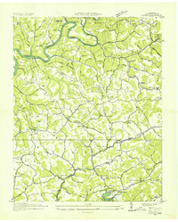 1936 Clouds1936 Print · USGSClaiborne County sits at a crossroads of change in the mid-1930s as the TVA reservoir transforms the Powell River valley. Researchers can trace ancestral footprints through numerous rural landmarks like Kecks Store, the Straight Creek Mines, and Ford Chapel Cem.2 unique versions available
 - 1936 Map of White Hollow
 1936 White Hollow1936 Print · USGSUnion County enters a period of massive change in the mid-thirties as the Tennessee Valley Authority fills the new reservoir. Researchers can trace submerged landmarks and family sites like Wilson Mill, Lays Cem, and Mossy Spring Sch.
 - 1936 Map of La Follette
 1936 La Follette1936 Print · USGSThe Powell Valley is shown during the early years of the Tennessee Valley Authority as the new shoreline of Norris Reservoir begins to take shape. Researchers can locate family landmarks like Bakers Forge Memorial Cem and coal infrastructure at Indian Creek Mines.
 - 1936 Map of Rutledge
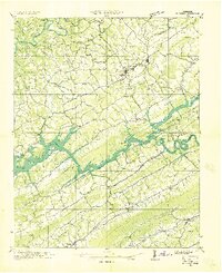 1936 Rutledge1936 Print · USGSClinch River communities faced a major transformation in the mid-1930s as the new reservoir began to fill the valley. You can trace the pre-inundation landscape through landmarks like Beeler Mill, the Straight Creek Mines Sch, and Lone Mountain.
 - 1936 Map of Mc Lean Rock
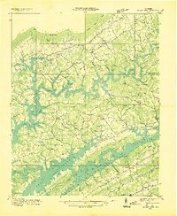 1936 Mc Lean Rock1936 Print · USGSUnion and Claiborne counties appear just as the Tennessee Valley Authority was reshaping the land in the mid-1930s. Researchers can locate family roots at Rose Hill Ch & Cem, trace the early operations of Lead Mine, or find the historic Speedwell Academy.
 - 1936 Map of Maynardville
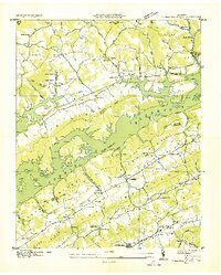 1936 Maynardville1936 Print · USGSIn the mid-1930s, the rising waters of Norris Reservoir began reshaping Union County. Genealogists and local historians can trace family land and community landmarks like Berry Peter Mill, Lickskillet, and Big Barren Cem.
 - 1936 Map of Demory
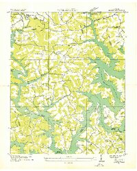 1936 Demory1936 Print · USGSAs the Tennessee Valley Authority reshaped the region in the mid-1930s, this survey documented the new shoreline of Norris Reservoir. Genealogists can trace community landmarks like Bakers Forge Memorial Cem, Demory Ch, and Alder Springs Sch.
 - 1936 Map of Big Ridge Park
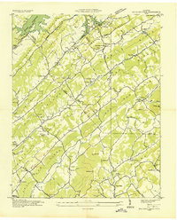 1936 Big Ridge Park1936 Print · USGSThe Tennessee Valley Authority era reshapes the landscape on this mid-1930s sheet as the newly formed Norris Reservoir reaches its pool level. Family historians can trace the transition of local communities through the New Loyston Cem, Webb Mill, and the many schools scattered along Hinds Creek Valley.
 - 1939 Map of Luttrell
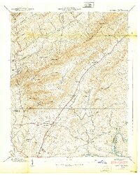 1939 Luttrell1939 Print · USGSEast Tennessee ridge and valley life is captured here in the late thirties, from the ridges of Union County to the Holston River. Genealogists can trace family roots through sites like McKinney Cem, Nances Ferry, and the Rush Strong Sch.
 - 1941 Map of Big Ridge Park
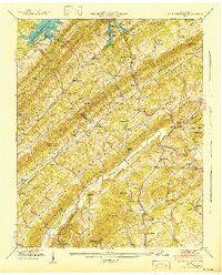 1941 Big Ridge Park1941 Print · USGSIn the early 1940s, the valleys of Union and Knox Counties were undergoing profound change as the Norris Reservoir rose. Researchers can trace ancestral landmarks like New Loyston Cem, Stokes Mill, and schools such as Arevalo Sch.
 - 1941 Map of White Hollow
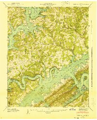 1941 White Hollow1941 Print · USGSUnion County is seen here during the early years of the Norris Reservoir, when newly formed shorelines met established ridge-top communities. Genealogists can locate family sites like Mc Carty Cem, study the Mt Olive Sch, or find the Hickory Star Landing riverfront.
 - 1941 Map of Graveston
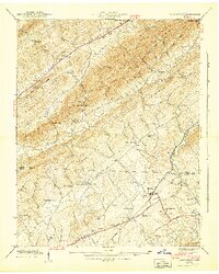 1941 Graveston1941 Print · USGSNortheast of Knoxville in the early 1940s, these ridge-and-valley communities remained oriented around local schools and the Southern railroad line. Genealogists can trace family landmarks like Ailor Cem, the Graveston Mill Pond, and Little Flat Creek Ch.2 unique versions available
 - 1941 Map of Demory
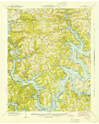 1941 Demory1941 Print · USGSIn the early 1940s, the Powell and Clinch River valleys were undergoing a massive transformation as the Norris Reservoir reached its early extent. Genealogists can locate family landmarks like Baker Forge Memorial Cem and Woodward Cem near the settlements of Demory and Grantsboro.2 unique versions available
Showing maps 1-25 of 98
Top cities of Union County
Frequently asked questions
- What are the different types of historical maps available for Union County?
- What is the oldest map of Union County?
- Where can I purchase historical maps of Union County for my home or office?
- Where can I download high-res historical maps of Union County?
- Are there historical topographic maps available for Union County?
- Is there historical aerial imagery available for Union County?
- Where are historical maps of Union County sourced from?