2000s (21st Century) Maps of Union County, Tennessee
Explore 50 historic maps of Union County from the 2000s (21st Century). These maps offer a rare glimpse into what life looked like during the 2000s — showing old roads, neighborhoods, homes, and landmarks that have changed or disappeared over time.
Whether you're researching your family's past, planning a metal detecting trip, or studying how Union County's landscape evolved across the 2000s, these high-resolution maps are a powerful tool for exploring the history of this region.
- Focus on a specific era: All maps on this page are from the 2000s, giving you a focused view of this time period.
- See what’s changed: Compare century-old streets, trails, and buildings to today's modern landscape using overlays and satellite layers.
- Research with precision: Use these maps for genealogy, historical research, land use analysis, or educational projects.
- View, download, or print: Maps are fully viewable online in high resolution, and can be downloaded or printed for your own records.
Start exploring Union County's history through authentic maps from the 2000s. This is your window into the past.
Union County, TN maps
(50)- 2010 Map of Luttrell, 2010 Print
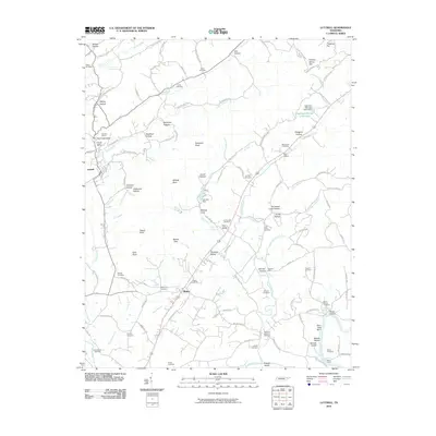 2010 Luttrell2010 Print · USGSEastern Tennessee at the dawn of the millennium shows a land of deep family roots and river-bound commerce. Genealogists and local historians can trace legacy landmarks like Jarnagin Cemetery, the old crossing at Mitchell Ford, and the waters of Nancès Shoals.
 - 2010 Map of Clouds, 2010 Print
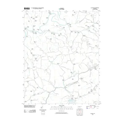 2010 Clouds2010 Print · USGSClaiborne County upland life is documented here in the early twenty-first century as family cemeteries and mineral prospects define the ridges. Genealogists can locate family landmarks like Water Treece Cemetery while tracing industrial sites such as Straight Creek Mines.
 - 2010 Map of Demory, 2010 Print
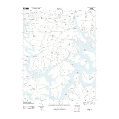 2010 Demory2010 Print · USGSThe shorelines of Big Ridge Lake and the Powell River define this part of Campbell County as it appeared in 2010. Genealogists can locate dozens of historic burial grounds such as Grantsboro Cemetery, Baker Forge Memorial Cemetery, and Mount Moriah Cemetery.
 - 2010 Map of Graveston, 2010 Print
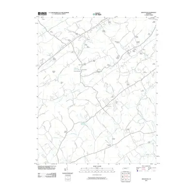 2010 Graveston2010 Print · USGSEast Tennessee's ridge-and-valley landscape is documented here in the early twenty-first century near Corryton. Genealogists and local historians can trace family ties through numerous burial grounds like Old Flat Creek Cemetery and landmarks like Graveston Mill Pond.
 - 2010 Map of Ausmus, 2010 Print
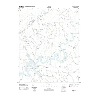 2010 Ausmus2010 Print · USGSThe Powell River winds through Claiborne County in the early twenty-first century, revealing a landscape defined by deep hollows and industrial history. Trace family lineage and mining roots through the Caldwell Mine, Braden Cemetery, and Ausmus Hollow.
 - 2010 Map of Maynardville, 2010 Print
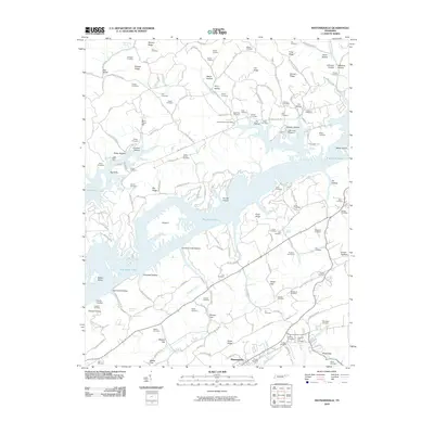 2010 Maynardville2010 Print · USGSMaynardville and the surrounding Union County ridges are documented here during the early twenty-first century. Researchers can locate numerous family burial grounds like Big Barren Cemetery and historic sites such as Berry-Peters Mill.
 - 2010 Map of Powder Springs, 2010 Print
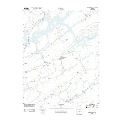 2010 Powder Springs2010 Print · USGSPowder Springs and the surrounding Union County ridges are documented here in the early twenty-first century as Big Ridge Lake winds through the valley. Local historians can trace dozens of family burial sites including Pennington Chapel Cemetery, Cherry Orchard Cemetery, and Beeler Cemetery.
 - 2010 Map of Big Ridge Park, 2010 Print
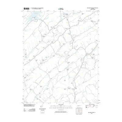 2010 Big Ridge Park2010 Print · USGSKnox County and its surrounding ridges come alive in the early twenty-first century, showing a landscape shaped by both nature and heritage. Family researchers can pinpoint dozens of burial sites including Beeler Cemetery, Milan Cemetery, and the Hanaards Chapel Cemetery.
 - 2010 Map of White Hollow, 2010 Print
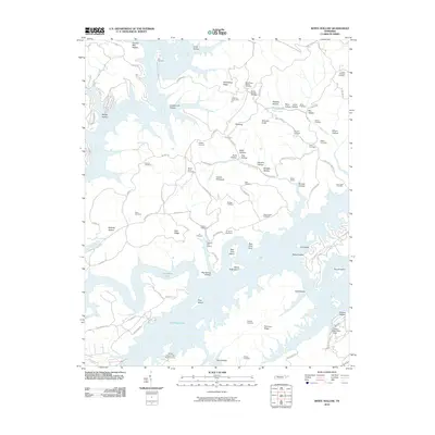 2010 White Hollow2010 Print · USGSThe Tennessee landscape around the Powell River was characterized by winding shorelines and family-named ridges in the early 21st century. Researchers can locate numerous ancestral burial sites like Lays Cemetery and trace local landmarks such as Big Ridge Lake and Wilson Prospect.
 - 2010 Map of Well Spring, 2010 Print
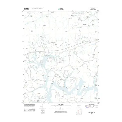 2010 Well Spring2010 Print · USGSThis part of Campbell County along the Powell River is documented in the early twenty-first century, showing a landscape defined by its hollows and family homesteads. Genealogists can locate dozens of burial sites including Childress Cemetery, Bethlehem Cemetery, and the Speedwell Post Office.
 - 2013 Map of Well Spring, 2013 Print
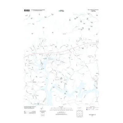 2013 Well Spring2013 Print · USGSEast Tennessee's river valleys and ridge-top cemeteries are documented here during the early twenty-first century. Researchers can trace family roots at Goins Cem and Bethlehem Cem or locate old community hubs like Well Spring and Braden.
 - 2013 Map of Powder Springs, 2013 Print
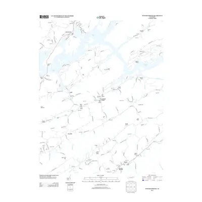 2013 Powder Springs2013 Print · USGSUnion County's ridges and valleys are meticulously detailed in the early 2010s, showing the intersection of Norris Lake recreation and historic settlements. Genealogists can trace family legacies through dozens of sites like Pennington Chapel, Cherry Orchard Cem, and the community of Powder Springs.
 - 2013 Map of Demory, 2013 Print
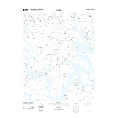 2013 Demory2013 Print · USGSNorris Lake and its winding Tennessee shoreline define this region during the early twenty-first century. Genealogists and local historians can trace family-named ridges and hollows while locating landmarks like Grantsboro, Shanghai Resort, and Camp Pellissippi.
 - 2013 Map of White Hollow, 2013 Print
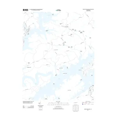 2013 White Hollow2013 Print · USGSThe intricate shoreline of Tennessee’s Clinch River system is shown here in the early twenty-first century as it winds through a landscape of named ridges and hollows. Researchers can locate local landmarks like Mossy Spring, the Tanasi Council Girl Scout Camp, and family-named features like Shelby Hollow.
 - 2013 Map of Maynardville, 2013 Print
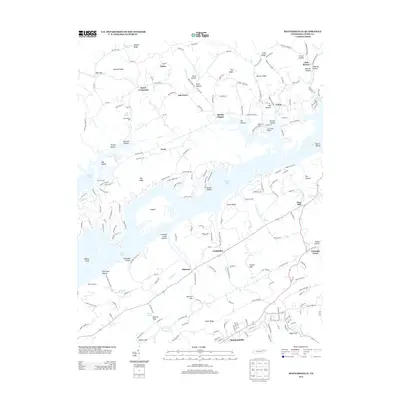 2013 Maynardville2013 Print · USGSMaynardville and Union County are captured here in the early twenty-first century, where the ridges of East Tennessee meet the expansive waters of Norris Lake. Researchers can trace the legacy of the land through sites like Berry-Peters Mill, Sharps Chapel, and the uniquely named Lickskillet.
 - 2013 Map of Clouds, 2013 Print
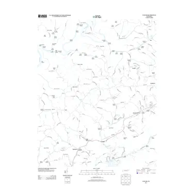 2013 Clouds2013 Print · USGSNortheastern Tennessee's ridge-and-hollow terrain is captured here in the early twenty-first century, showing the rural communities between the Powell River and Norris Lake. Family history researchers can locate specific landmarks like the Cupp Mill, the settlement at Goin, and the Holt Cave Spring.
 - 2013 Map of Luttrell, 2013 Print
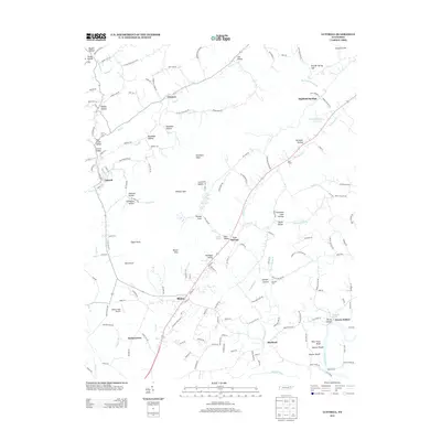 2013 Luttrell2013 Print · USGSGrainger County communities like Blaine and Luttrell are captured here during the early twenty-first century. Researchers can trace family-named landmarks and historical crossings along the Holston River, including Nance Ferry and Mitchell Ford.
 - 2013 Map of Big Ridge Park, 2013 Print
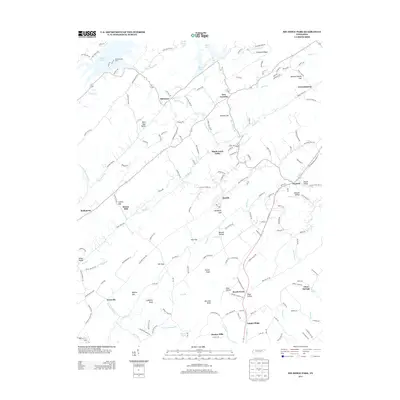 2013 Big Ridge Park2013 Print · USGSKnox and Union counties are shown here during the early twenty-first century as the landscape balances lakefront development with deep-rooted rural settlements. Genealogists and local historians can trace family landmarks and old communities like Stokes Mill, Beech Grove, and Ridenour.
 - 2013 Map of Graveston, 2013 Print
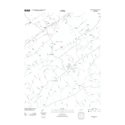 2013 Graveston2013 Print · USGSIn the valley and ridge country of East Tennessee, this modern survey shows the agricultural and residential landscape north of Knoxville. Genealogists and local historians can trace family-named landforms like Potato Valley, Kitts Hollow, and the historic Graveston Mill Pond.
 - 2013 Map of Ausmus, 2013 Print
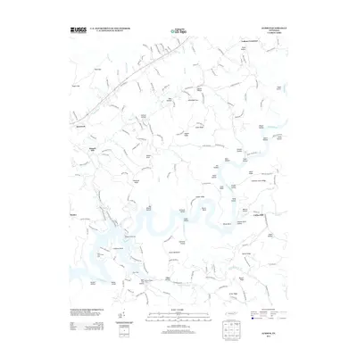 2013 Ausmus2013 Print · USGSThe rural landscape of Claiborne County in the early twenty-first century is defined by the winding Powell River and its many hollows. Researchers can trace family names and small crossroads like Yoakum Crossroad, Monks Corner, and Speedwell.
 - 2016 Map of Clouds, 2016 Print
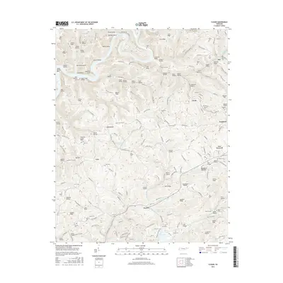 2016 Clouds2016 Print · USGSClaiborne County settlements and family lands are meticulously documented here in the years following the turn of the millennium. Genealogists can locate numerous small burial sites like Goin Cem and Carr Cem near communities such as Lily Grove and Head of Barren.
 - 2016 Map of Well Spring, 2016 Print
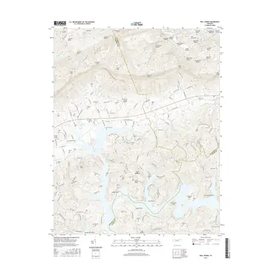 2016 Well Spring2016 Print · USGSThe convergence of Campbell, Union, and Claiborne Counties is captured here in the mid-2010s. Genealogists can trace decades of local history through dozens of family-named sites, from Well Spring Cem and Beeler Cem to the namesake settlement of Well Spring.
 - 2016 Map of Ausmus, 2016 Print
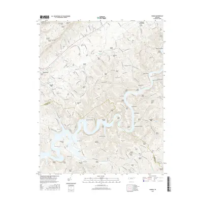 2016 Ausmus2016 Print · USGSThe northern edge of the Clinch River basin comes to life in this contemporary study of the Claiborne and Union County line. Researchers can trace decades of family history through numerous upland burial sites like Moyers Cem, Russell Cem, and Leach Cem.
 - 2016 Map of Powder Springs, 2016 Print
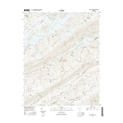 2016 Powder Springs2016 Print · USGSThe borderlands of Union and Grainger counties come into focus in the mid-2010s, showing a landscape of deep valleys and rising ridges. Researchers can locate dozens of historic family plots such as Beeler Cem, Walton Cem, and Keck Cem tucked away in Black Fox Valley and Raccoon Valley.
 - 2016 Map of White Hollow, 2016 Print
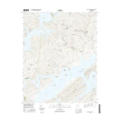 2016 White Hollow2016 Print · USGSThe shorelines of Norris Lake and the ridges of CAMPBELL CO are captured here in the mid-2010s. Researchers can trace dozens of family burial sites such as Lays Cem and McCarty Cem across the wooded Dividing Ridge.
Showing maps 1-25 of 50
Top cities of Union County
Frequently asked questions
- What are the different types of historical maps available for Union County?
- What is the oldest map of Union County?
- Where can I purchase historical maps of Union County for my home or office?
- Where can I download high-res historical maps of Union County?
- Are there historical topographic maps available for Union County?
- Is there historical aerial imagery available for Union County?
- Where are historical maps of Union County sourced from?