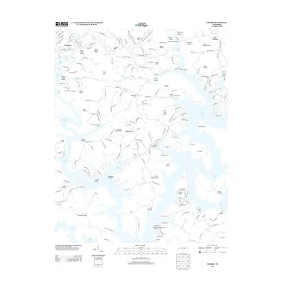
2013 Map of Demory
USGS Topo · Published 2013About this map
Norris Lake dominates this landscape, its serpentine fingers reaching deep into the ridges and hollows of Campbell County. The intricate shoreline creates a complex geography of points and bends, including the Central Peninsula and the distinctively named Gatham Bend. Settlement patterns are concentrated along the higher ground, with communities like Demory, Grantsboro, and Fordsown serving as inland anchors amidst a network of recreational and seasonal developments. The influence of the reservoir is evident in the high density of water-access landmarks, from established marinas like Sequoyah Marina and Shanghai Dock to numerous private boat landings and cabin areas like the Heatherly Point Cabin Area.
Find a feature on this map
210 named features on this map. Tap any name to fly to it.
Don’t see what you’re looking for? This feature index may not catch every label — zoom into the map to look around manually.
Map Details
Editions of this 2013 Demory Map
This is the sole edition of this map. No revisions or reprints were ever made.
Other maps of this area

1893 · Briceville
USGS Topo · 1:125,000

1895 · Briceville
USGS Topo · 1:125,000

1896 · Briceville
USGS Topo · 1:125,000

1897 · Maynardville
USGS Topo · 1:125,000

1900 · Maynardville
USGS Topo · 1:125,000

1935 · Well Spring
USGS Topo · 1:24,000

1936 · Gorryton
USGS Topo · 1:48,000

1936 · Ivydell
USGS Topo · 1:24,000

1936 · Jacksboro
USGS Topo · 1:24,000

1936 · White Hollow
USGS Topo · 1:24,000