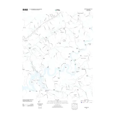
2013 Map of Ausmus
USGS Topo · Published 2013About this map
Powell River meanders through the heart of this landscape, carving deep bends and hollows into the terrain of Claiborne County. The river’s path defines local life and recreation, noted by the presence of Steiners Fishing Camp and the Beech Grove Cabin Area. Historically, the movement of water supported industry, as seen at Russell Mill and Collins Mill. High ridges like Smith Ridge and Cooper Ridge create a series of isolated hollows including Pump Hollow and Greasy Hollow, where small settlements and homesteads like Yoakum Crossroad and Speedwell are established. The transportation network is a mix of modern routes like 63 and older paths such as Old Highway 63, connecting these rural communities across the ridges and along the riverbanks.
Find a feature on this map
166 named features on this map. Tap any name to fly to it.
Don’t see what you’re looking for? This feature index may not catch every label — zoom into the map to look around manually.
Map Details
Editions of this 2013 Ausmus Map
This is the sole edition of this map. No revisions or reprints were ever made.
Other maps of this area

1886 · Cumberland Gap
USGS Topo · 1:125,000

1888 · Cumberland Gap
USGS Topo · 1:125,000

1891 · Cumberland Gap
USGS Topo · 1:125,000

1897 · Maynardville
USGS Topo · 1:125,000

1900 · Maynardville
USGS Topo · 1:125,000

1903 · Middlesboro
USGS Topo · 1:48,000

1927 · Middlesboro
USGS Topo · 1:62,500

1930 · Middlesboro
USGS Topo · 1:62,500

1935 · Mingo Mountains
USGS Topo · 1:24,000

1935 · Cumberland Gap
USGS Topo · 1:24,000