Old Maps of Van Buren County, Tennessee for Metal Detecting
Plan your next treasure hunt with 70 historic maps of Van Buren County. Find old homesites, ghost towns, trails, and gathering spots that may be lost to time — perfect for identifying promising metal detecting locations.
- Locate forgotten sites: Uncover places like long-lost settlements, abandoned rail lines, or gathering spots.
- Plan better hunts: Use map overlays combined with LiDAR or satellite views to narrow in on historically rich areas.
- Made for detectorists: Thousands of hobbyists use these maps to discover relics, coins, and hidden history.
Use these historic maps to boost your research and find new opportunities beneath the surface of Van Buren County.
Van Buren County, TN maps
(70)- 1892 Map of Pikeville
 1892 Pikeville1892 Print · USGSThe Cumberland Plateau in the 1890s shows a rugged landscape of early river ferries and mountain gaps. Genealogists and historians can trace the paths between Sparta and Crossville, locating landmarks like Hodge Ferry and the Rock House tavern.
 - 1893 Map of Mc Minnville
 1893 Mc Minnville1893 Print · USGSThe river-and-rail economy of Warren and DeKalb counties is captured here in the 1890s. Researchers can trace old ferry crossings like Pin Hook Ferry and local industry at Daly Mill or Magness Mills.
 - 1895 Map of Mc Minnville
 1895 Mc Minnville1895 Print · USGSWarren and DeKalb Counties in the 1890s are defined by the winding Collins River and the early rail lines connecting the Highland Rim. Genealogists can trace family footprints near Magness Mills, White Seminary, or old river crossings like Bailiff Old Ferry.5 unique versions available
 - 1895 Map of Pikeville
 1895 Pikeville1895 Print · USGSThe Cumberland Plateau was a landscape of mountain settlements and critical gaps in the 1890s. Genealogists can trace family roots through upland communities like Pomona and Lantana, or locate old landmarks like Hale Chapel and Hodge Ferry along the river.7 unique versions available
 - 1935 Map of Brockdell
 1935 Brockdell1935 Print · USGSBledsoe County is captured in the mid-1930s as the Tennessee Valley Authority began modernizing the Cumberland Plateau. Genealogists can locate family landmarks like Gragle Cem and Lusk Sch, or trace the original Nashville Transmission Line.
 - 1935 Map of Smart Mountain
 1935 Smart Mountain1935 Print · USGSThe Cumberland Plateau highlands are captured here in the mid-1930s at the junction of Van Buren, Bledsoe, and Sequatchie counties. Local historians can trace the foundations of the community at the Hitchcock Sch and Hitchcock Cem near Smart Mtn.
 - 1943 Map of Cookeville
 1943 Cookeville1943 Print · USGSMiddle Tennessee during the early 1940s reveals a landscape defined by the Tennessee Central Railroad and the ascent to the Cumberland Plateau. Trace local heritage through rural settlements like Silver Point and Bloomington Springs or the river crossing at Hodge Ferry.
 - 1944 Map of Cookeville
 1944 Cookeville1944 Print · USGSUpper Tennessee during the war years shows a landscape shaped by deep river gorges and the rising Cumberland Plateau. Researchers can trace old mountain settlements like Bon Air or locate river landmarks such as Hodge Ferry and Burgess Falls Dam.
 - 1946 Map of Smartt Mountain, 1962 Print
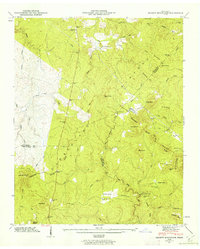 1946 Smartt Mountain1962 Print · USGSHigh atop the Cumberland Plateau in the mid-1940s, this area spans the intersection of three Tennessee counties during a period of remote mountain settlement. Genealogists can locate family landmarks like Jordan Rock House, Bellview Church, and the Hitchcox Cem.4 unique versions available
 - 1946 Map of Brockdell, 1963 Print
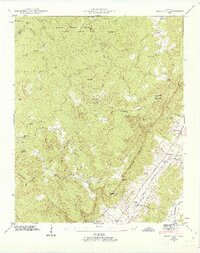 1946 Brockdell1963 Print · USGSBledsoe County at the end of the Second World War shows a landscape defined by the rugged descent from the Cumberland Plateau. Genealogists and researchers can locate family landmarks like Brockdell Ch, Rainey Cem, and the old rail stops at Lees Station and College Station.4 unique versions available
 - 1947 Map of Brockdell
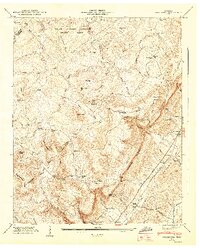 1947 Brockdell1947 Print · USGSBledsoe County is shown just after the war when the plateau and valley floor were distinct worlds connected by steep gulfs. Genealogists can trace family names at Rainey Cem or locate former schoolhouses like Rebecca Sch and Lusk Sch.2 unique versions available
 - 1947 Map of Smartt Mountain, 1948 Print
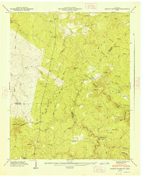 1947 Smartt Mountain1948 Print · USGSThe Cumberland Plateau of Van Buren and Bledsoe Counties is captured here in the mid-1940s, revealing a landscape of ridge-top churches and isolated valley cemeteries. Genealogists can trace family roots at Miller Cem, Bellview Ch, and the landmark Jordan Rock House.
 - 1953 Map of Chattanooga
 1953 Chattanooga1953 Print · USGSSoutheast Tennessee in the early fifties shows a landscape reshaped by river management and rail power. Trace the rail lines of the Southern Ry through riverside towns or locate the preserved grounds of the Chickamauga and Chattanooga National Military Park.
 - 1954 Map of Lonewood, 1955 Print
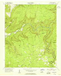 1954 Lonewood1955 Print · USGSThe Cumberland Plateau uplands come into focus mid-century, showing the isolated communities of Lonewood and Bethesda. Researchers can trace old family burial sites like Davis Cem or explore the rugged karst landscape of Virgin Falls and Dodson Cave.4 unique versions available
 - 1954 Map of Sampson, 1955 Print
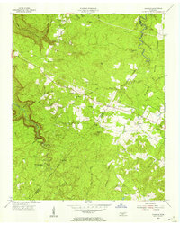 1954 Sampson1955 Print · USGSThe Cumberland Plateau of Van Buren and Bledsoe counties is captured here in the mid-1950s, highlighting a mix of conservation and rural industry. Researchers can trace the early layout of Falls Creek Falls State Park and locate vanished landmarks like the New Martin Sch and Mooneyham.5 unique versions available
 - 1954 Map of Spencer, 1955 Print
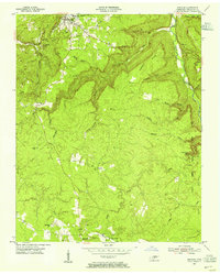 1954 Spencer1955 Print · USGSThe plateau around mid-century Spencer is revealed in this survey of the Van Buren County landscape. Researchers can locate family landmarks such as Hale Cem, rural schoolhouses like Pipe Grove Sch, and the early borders of Falls Creek Falls State Park.3 unique versions available
 - 1956 Map of Bald Knob, 1957 Print
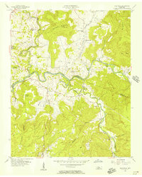 1956 Bald Knob1957 Print · USGSThe Van Buren and White County borderlands are shown here in the mid-1950s, where the winding Caney Fork meets the Calfkiller River. Researchers can locate rural landmarks like Hickory Valley Sch, Spencer, and Cane Creek Ch.3 unique versions available
 - 1957 Map of Chattanooga, 1966 Print
 1957 Chattanooga1966 Print · USGSEast Tennessee in the mid-1960s shows a landscape of massive hydroelectric reservoirs and emerging industrial sites like the Atomic Energy Commission (Oak Ridge Area). Trace the rail networks of the Southern Ry through Chattanooga or locate family-named ridges across the Cumberland Plateau.3 unique versions available
 - 1959 Map of Chattanooga
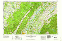 1959 Chattanooga1959 Print · USGSSoutheast Tennessee is shown here during a decade of industrial growth and hydroelectric development. Trace the regional rail networks of the Southern Ry and find landmark sites like Lookout Mountain, Fall Creek Falls State Park, and Chattanooga.
 - 1960 Map of Chattanooga
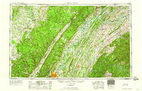 1960 Chattanooga1960 Print · USGSSoutheast Tennessee and the southern Appalachians are shown here at the height of the river-management era. You can trace the valley rail lines and locate Lookout Mountain and the expansive waters of Chickamauga Reservoir.
 - 1960 Map of Welchland, 1961 Print
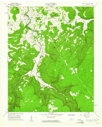 1960 Welchland1961 Print · USGSIn the early sixties, the Rocky River corridor defined the border and lifestyle of the Van Buren and Warren County line. Local historians can trace family roots at Drake Cem, find the site of Welchland School, or locate the Quarry near White Hill.2 unique versions available
 - 1960 Map of Curtistown, 1961 Print
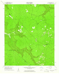 1960 Curtistown1961 Print · USGSThe Tennessee Plateau at the start of the 1960s reveals a landscape defined by isolated settlements and a rugged river-carved geography. Researchers can trace rural lineages at Pleasant Hill Cem or explore the mid-century industrial footprint of Strip Mines and the Old Target Area.3 unique versions available
 - 1960 Map of Doyle, 1961 Print
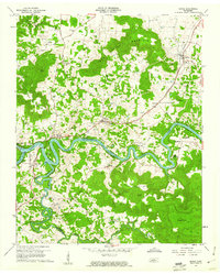 1960 Doyle1961 Print · USGSWhite and Van Buren counties are captured here in the early sixties, as the Caney Fork and Rocky River meet at the headwaters of the reservoir. Genealogists can locate family landmarks like Simrell Cem, O'Neal Cem, and the rural community at Bone Cave.4 unique versions available
 - 1964 Map of Chattanooga
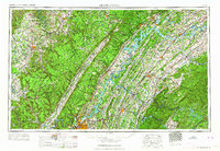 1964 Chattanooga1964 Print · USGSSoutheast Tennessee and the western Carolinas appear in the mid-sixties as a powerhouse of river-driven industry and mountain wilderness. Genealogists and historians can trace rail-town lineages along the Southern Ry or locate family landmarks near Watts Bar Lake and Tellico Plains.
 - 1981 Map of Mc Minnville
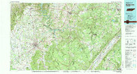 1981 Mc Minnville1981 Print · USGSThe Cumberland Plateau and the Sequatchie Valley meet in this early 1980s look at Warren and White Counties. Researchers can locate vanished rural landmarks like Hutchins College, the old rail stops of the Tennessee Central, and Mount Zion Cem.
Showing maps 1-25 of 70
Top cities of Van Buren County
Frequently asked questions
- What are the different types of historical maps available for Van Buren County?
- What is the oldest map of Van Buren County?
- Where can I purchase historical maps of Van Buren County for my home or office?
- Where can I download high-res historical maps of Van Buren County?
- Are there historical topographic maps available for Van Buren County?
- Is there historical aerial imagery available for Van Buren County?
- Where are historical maps of Van Buren County sourced from?