2010s Maps of Van Buren County, Tennessee
Explore 36 historic maps of Van Buren County from the 2010s. These maps offer a rare glimpse into what life looked like during the 2010s — showing old roads, neighborhoods, homes, and landmarks that have changed or disappeared over time.
Whether you're researching your family's past, planning a metal detecting trip, or studying how Van Buren County's landscape evolved across the 2010s, these high-resolution maps are a powerful tool for exploring the history of this region.
- Focus on a specific era: All maps on this page are from the 2010s, giving you a focused view of this time period.
- See what’s changed: Compare century-old streets, trails, and buildings to today's modern landscape using overlays and satellite layers.
- Research with precision: Use these maps for genealogy, historical research, land use analysis, or educational projects.
- View, download, or print: Maps are fully viewable online in high resolution, and can be downloaded or printed for your own records.
Start exploring Van Buren County's history through authentic maps from the 2010s. This is your window into the past.
Van Buren County, TN maps
(36)- 2010 Map of Spencer, 2010 Print
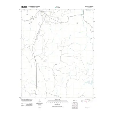 2010 Spencer2010 Print · USGSSpencer and the surrounding plateau are captured here in the early 21st century, showing the town's expansion toward the bluffs. Genealogists can locate several family landmarks including Denney Cemetery and trace the road to the Rigby Number One Mine.
 - 2010 Map of Bald Knob, 2010 Print
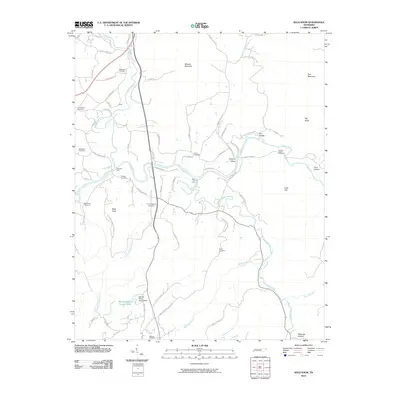 2010 Bald Knob2010 Print · USGSThe Van Buren County highlands are shown here in the early twenty-first century as a landscape of deep hollows and historic river crossings. Genealogists can trace family names through numerous burial grounds like Cummingsville Cemetery and Sparkman Cemetery.
 - 2010 Map of Curtistown, 2010 Print
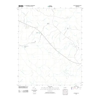 2010 Curtistown2010 Print · USGSWarren County in the early twenty-first century remains a landscape of high plateaus and deep hollows where rural life meets scientific observation. Genealogists and local historians can locate Pleasant Hill Cemetery, trace the industrial footprint of Powers Mine, or find the Cumberland Plateau Observatory.
 - 2010 Map of Sampson, 2010 Print
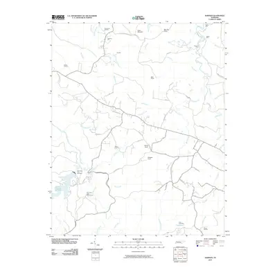 2010 Sampson2010 Print · USGSBledsoe County’s plateau landscape comes into focus during the early twenty-first century, showing a mix of natural landmarks and deep-rooted family sites. Researchers can trace land use through several mining locations like Anderson Mine or locate ancestral grounds at Mooneyham Cemetery and Walling Cemetery.
 - 2010 Map of Welchland, 2010 Print
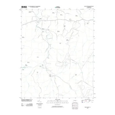 2010 Welchland2010 Print · USGSThe Tennessee highlands near Warren County are mapped here in the early twenty-first century, showing a landscape defined by the Rocky River and its many branches. Genealogists and historians can trace numerous family burial grounds like Boyd Cemetery and New Rocky Cemetery, alongside the site of the Rocky Branch Mine.
 - 2010 Map of Lonewood, 2010 Print
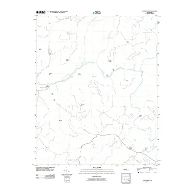 2010 Lonewood2010 Print · USGSVan Buren County's rugged karst plateau is captured in the early twenty-first century, showing a landscape defined by sinks and river gulfs. Genealogists and historians can locate Lonewood Cemetery, the Woodard Hankins Mine, and the storied Virgin Falls.
 - 2010 Map of Smartt Mountain, 2010 Print
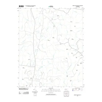 2010 Smartt Mountain2010 Print · USGSBledsoe County’s high plateau country is captured here in the early 2000s, showing a landscape of ridges and deep creek hollows. Researchers can locate family landmarks like the Walling Cemetery, trace the Rocky River, and find the Smartt Mountain Mine.
 - 2010 Map of Brockdell, 2010 Print
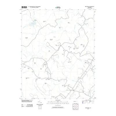 2010 Brockdell2010 Print · USGSBledsoe County in the early twenty-first century reveals a rugged landscape where industry and community history intersect. Genealogists and historians can trace family roots through Price Cemetery and Dodson Cemetery or explore the legacy of mining at the Merriman Mine and Whitlow Mine.
 - 2010 Map of Doyle, 2010 Print
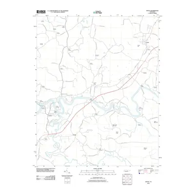 2010 Doyle2010 Print · USGSThe Caney Fork river valley in Middle Tennessee is captured here in the early twenty-first century. Genealogists can trace family heritage through nearly twenty burial sites, including McElroy Cemetery and Chisam Cemetery, alongside landmark crossings like Tosh Bridge.
 - 2013 Map of Doyle, 2013 Print
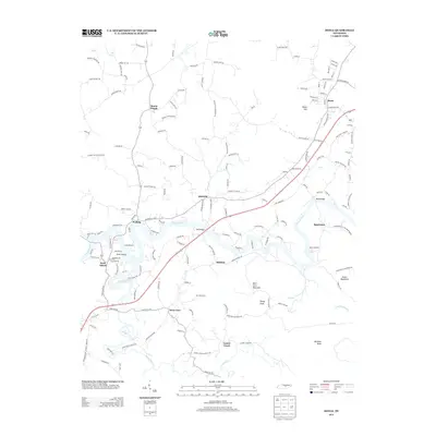 2013 Doyle2013 Print · USGSThe river valleys of Central Tennessee are meticulously detailed in this recent study of the White County landscape. Researchers can trace the legacy of old crossings and family ties through Tosh Bridge, Bone Cave, and Old Jericho Cemetery Rd.
 - 2013 Map of Lonewood, 2013 Print
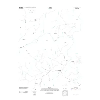 2013 Lonewood2013 Print · USGSVan Buren County in the early twenty-first century reveals a rugged landscape of karst sinks and river gulfs. Genealogists and researchers can locate family land near Lonewood, trace the paths to Virgin Falls, or find the remote Cedar Shoals Ford along the Caney Fork.
 - 2013 Map of Brockdell, 2013 Print
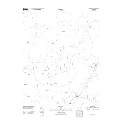 2013 Brockdell2013 Print · USGSBledsoe County’s rural highlands and plateau gaps are preserved here in the early twenty-first century. Genealogists and hikers can trace old family roadbeds and landmarks like Sequatchie College, Lees Station, and the deep hollows of Rains Gulf.
 - 2013 Map of Spencer, 2013 Print
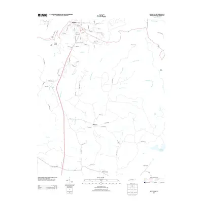 2013 Spencer2013 Print · USGSThe Cumberland Plateau of Van Buren County comes into focus in this modern era, centered on the streets of Spencer. Researchers can trace old family routes along Sodam Cemetery Rd, locate the remote Piney Creek Falls, or explore the terrain around Fall Creek Falls Lake.
 - 2013 Map of Bald Knob, 2013 Print
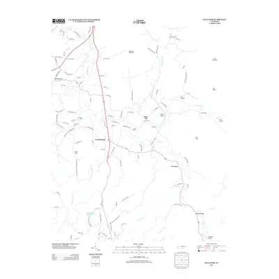 2013 Bald Knob2013 Print · USGSVan Buren County is captured in this modern survey as its rural character remains defined by the winding paths of the Calfkiller River and Caney Fork. Genealogists and local historians can trace the roads connecting Cummingsville, Greenwood, and River Hill, or locate family-named crossings like Plumlees Ford.
 - 2013 Map of Smartt Mountain, 2013 Print
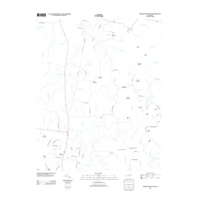 2013 Smartt Mountain2013 Print · USGSThis Tennessee plateau landscape in the early 2010s reveals a network of mountain ridges and remote valley settlements. Researchers can trace land features like Hitchcox, Jordan Rock House, and Smartt Mountain across a terrain of creeks and rocky hollows.
 - 2013 Map of Sampson, 2013 Print
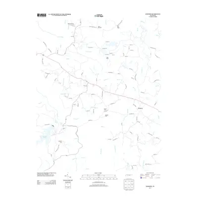 2013 Sampson2013 Print · USGSSampson and the Bledsoe County highlands are captured here in the early 2000s, centered on the dramatic waterfalls of the Cumberland Plateau. Researchers can locate Prater Mansion, the community of Mooneyham, and the rugged boundaries of Fall Creek Falls State Park.
 - 2013 Map of Curtistown, 2013 Print
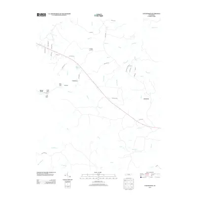 2013 Curtistown2013 Print · USGSThe rural Tennessee uplands of the Cumberland Plateau are captured here in the early twenty-first century, showing a landscape defined by deep hollows and ridge-top roads. Trace local landmarks like the Cumberland Plateau Observatory, the settlement of Chalybeate, and the rugged Laurel Creek Gulch.
 - 2013 Map of Welchland, 2013 Print
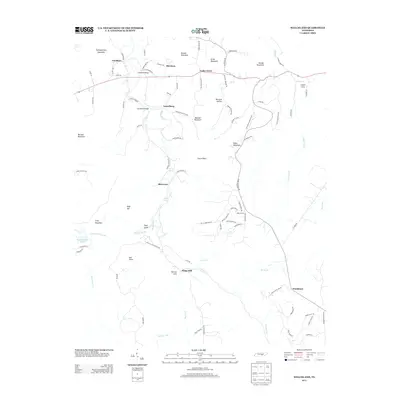 2013 Welchland2013 Print · USGSThe Tennessee highlands near the Rocky River appear in this early twenty-first-century survey of the Cumberland Plateau. Local researchers can trace family landmarks and river crossings such as Goodbar Bridge, Laurelburg, and the Hillis Cemetery.
 - 2016 Map of Brockdell, 2016 Print
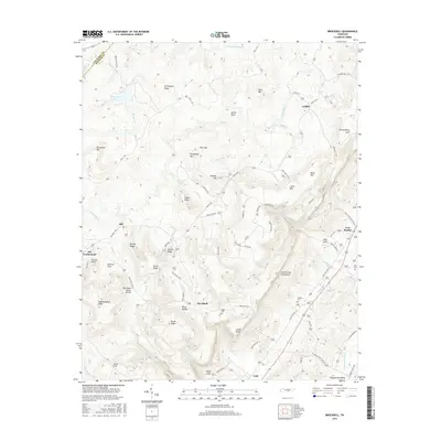 2016 Brockdell2016 Print · USGSBledsoe County is shown here as the Cumberland Plateau drops sharply into the Sequatchie Valley during the early twenty-first century. Genealogists and local historians can locate several family cemeteries and small rural settlements like Brockdell, Lusk, and Lees Station.
 - 2016 Map of Bald Knob, 2016 Print
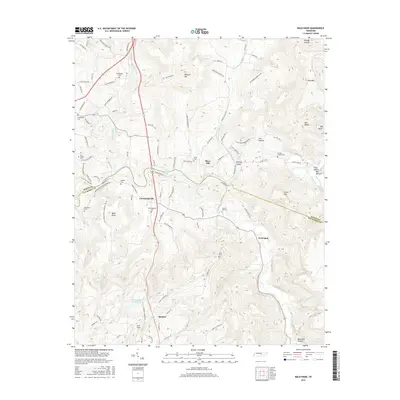 2016 Bald Knob2016 Print · USGSThe Van Buren County highlands come into focus in the mid-2010s, centered around the community of Spencer. Local history researchers can trace family landmarks and cemeteries such as Gravel Hill Cem, Fraziers Chapel Cem, and Hodges Cem.
 - 2016 Map of Spencer, 2016 Print
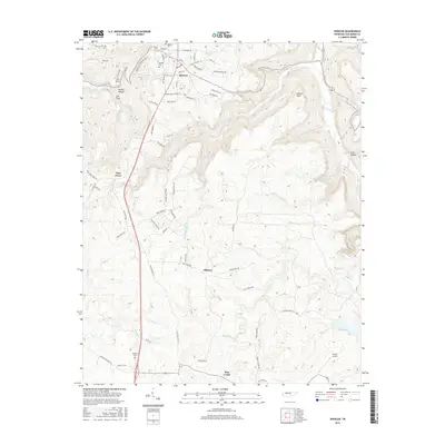 2016 Spencer2016 Print · USGSThe Van Buren County plateau and its deep rim coves are meticulously documented in this recent survey. Local researchers can trace family roots at Hale Cem and Shockley Cem or explore the landscape around Pine Grove and Haston Point.
 - 2016 Map of Smartt Mountain, 2016 Print
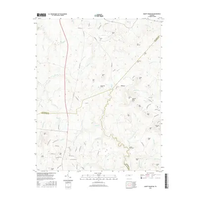 2016 Smartt Mountain2016 Print · USGSThe high ground of the Cumberland Plateau is revealed here in the 2010s, where Van Buren and Bledsoe Counties meet at the Tennessee Valley Divide. Trace family roots and local history at Hitchcox Cem or find landmarks like Jordan Rock House and The Narrows.
 - 2016 Map of Welchland, 2016 Print
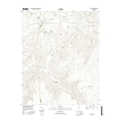 2016 Welchland2016 Print · USGSThe border of Warren and Van Buren counties comes alive in the mid-2010s, showing a landscape of high ridges and river valleys. Researchers can trace family history through local landmarks like Crain Hill Cem, the Goodbar Bridge, and the settlement of Riverview.
 - 2016 Map of Curtistown, 2016 Print
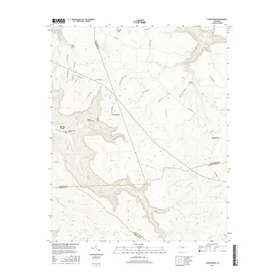 2016 Curtistown2016 Print · USGSThe high plateau where Warren, Van Buren, Grundy, and Sequatchie counties meet is captured here in the mid-2010s. Genealogists and local historians can trace family ties at Pleasant Hill Cem and the small settlements of Curtistown and Chalybeate.
 - 2016 Map of Lonewood, 2016 Print
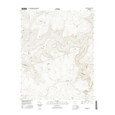 2016 Lonewood2016 Print · USGSThe high plateau and deep gulfs of Van Buren County are documented here during the mid-2010s. Researchers can locate remote family landmarks and geological features like Lonewood Cem, Virgin Falls, and the deep Big Sink.
Showing maps 1-25 of 36
Top cities of Van Buren County
Frequently asked questions
- What are the different types of historical maps available for Van Buren County?
- What is the oldest map of Van Buren County?
- Where can I purchase historical maps of Van Buren County for my home or office?
- Where can I download high-res historical maps of Van Buren County?
- Are there historical topographic maps available for Van Buren County?
- Is there historical aerial imagery available for Van Buren County?
- Where are historical maps of Van Buren County sourced from?