2010s Maps of Clifton, Tennessee
Explore 16 historic maps of Clifton from the 2010s. These maps offer a rare glimpse into what life looked like during the 2010s — showing old roads, neighborhoods, homes, and landmarks that have changed or disappeared over time.
Whether you're researching your family's past, planning a metal detecting trip, or studying how Clifton's landscape evolved across the 2010s, these high-resolution maps are a powerful tool for exploring the history of this region.
- Focus on a specific era: All maps on this page are from the 2010s, giving you a focused view of this time period.
- See what’s changed: Compare century-old streets, trails, and buildings to today's modern landscape using overlays and satellite layers.
- Research with precision: Use these maps for genealogy, historical research, land use analysis, or educational projects.
- View, download, or print: Maps are fully viewable online in high resolution, and can be downloaded or printed for your own records.
Start exploring Clifton's history through authentic maps from the 2010s. This is your window into the past.
Clifton, TN maps
(16)- 2010 Map of Olivehill, 2010 Print
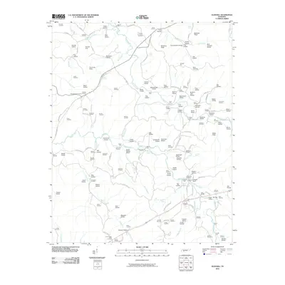 2010 Olivehill2010 Print · USGSHardin Creek and its many hollows define this rural Tennessee landscape at the start of the 21st century. Genealogists can trace family connections through a dense network of burial sites like Patterson Cemetery and historic river crossings such as Whitten Ford.
 - 2010 Map of Bath Springs, 2010 Print
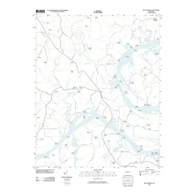 2010 Bath Springs2010 Print · USGSThe Tennessee River corridor comes alive in this survey, showing a network of historic landings and furnace sites. Genealogists can trace family roots through numerous local plots like Lafferty Cemetery or visit the site of the old Decatur Furnace.
 - 2010 Map of Eagle Creek, 2010 Print
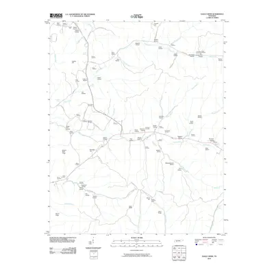 2010 Eagle Creek2010 Print · USGSWayne County’s rural hollows and creek valleys are documented here at the start of the twenty-first century. Genealogists can trace family footprints across dozens of sites like Evans Chapel, the Sanders Mine, and the Boyd-Lynch Cemetery.
 - 2010 Map of Clifton, 2010 Print
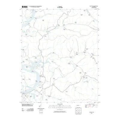 2010 Clifton2010 Print · USGSThe Tennessee River corridor in Wayne County remained a landscape of historic landings and family-named hollows into the early twenty-first century. Researchers can trace ancestral roots through the Methodist Camp Ground Cemetery, identify old river access at Clifton Ferry, and locate the Peters Landing Post Office.
 - 2013 Map of Eagle Creek, 2013 Print
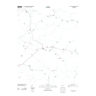 2013 Eagle Creek2013 Print · USGSWayne County's intricate landscape of ridges and hollows comes into focus in this early twenty-first-century survey. Genealogists and hikers can trace family-named landmarks and water sources like Clifton Junction, Hardins Creek Fire Tower, and Hideout Hollow.
 - 2013 Map of Olivehill, 2013 Print
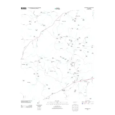 2013 Olivehill2013 Print · USGSThe Hardin Creek watershed comes into focus in this modern survey of the rural interior near Olivehill. Genealogists and researchers can trace family-named landmarks and old crossings like Schoolhouse Hollow, Union Chapel, and Whitten Ford.
 - 2013 Map of Clifton, 2013 Print
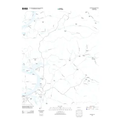 2013 Clifton2013 Print · USGSThe Tennessee River waterfront at Clifton is captured here in the early twenty-first century, showing a landscape defined by river landings and island chains. Genealogists and researchers can trace local landmarks like Clifton Ferry, Glenkirk Island, and the small community of Mooney.
 - 2013 Map of Bath Springs, 2013 Print
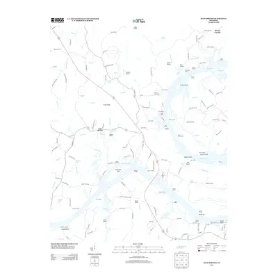 2013 Bath Springs2013 Print · USGSThe Tennessee River valley in the early 2010s reveals a landscape of river landings and small communities like Bath Springs. You can trace historical river sites from Decatur Furnace to Eagle Nest Island and explore family-named hollows and springs.
 - 2016 Map of Olivehill, 2016 Print
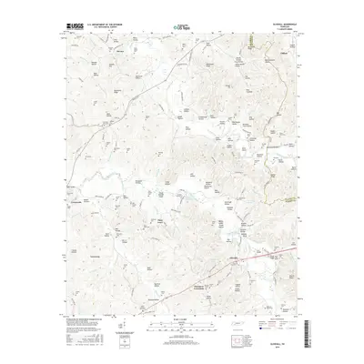 2016 Olivehill2016 Print · USGSThe Tennessee hills along the Hardin and Wayne county line are shown here in the mid-2010s, capturing a landscape of family cemeteries and remote hollows. Genealogists can trace family roots at Altum Spring Cem or Pogue Cem and find old settlements like Havana and Piney Grove.
 - 2016 Map of Bath Springs, 2016 Print
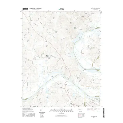 2016 Bath Springs2016 Print · USGSThe Tennessee River corridor comes alive in this survey of the mid-2010s, showing the intersection of four counties at Clifton and Bath Springs. Researchers can locate dozens of family-named landmarks and cemeteries, from Lott Landing to the McBride Cem and Yarbro Cem.
 - 2016 Map of Eagle Creek, 2016 Print
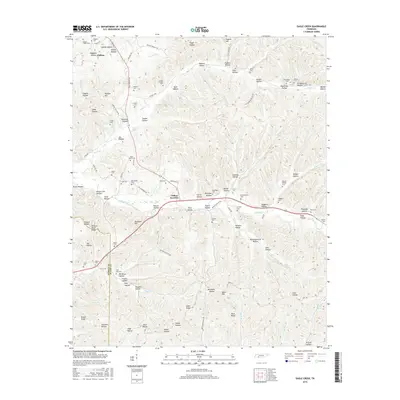 2016 Eagle Creek2016 Print · USGSThe Tennessee hills of Hardin and Wayne Counties are mapped here in the mid-2010s, showing a landscape of deep hollows and family-named ridges. Genealogists can trace local heritage at Lizard Glade Cem, Clifton Junction, and Friendship Cem.
 - 2016 Map of Clifton, 2016 Print
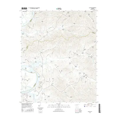 2016 Clifton2016 Print · USGSThe Tennessee River bend at Clifton is documented here as it appeared in the mid-2010s, showing a landscape defined by the waters of Kentucky Lake. Researchers can locate historic family burial sites like Zion Cem and the Henry Culp Family Plot or trace landmarks such as Carrollville Hill and New Era Bluff.
 - 2019 Map of Bath Springs, 2019 Print
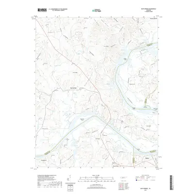 2019 Bath Springs2019 Print · USGSThe Tennessee River valley at the borders of Wayne and Decatur counties is captured here in modern detail. Researchers can locate numerous family burial sites like Lott Landing Cemetery and trace the geography of the river at Buffalo Shoals and Clifton Bend.
 - 2019 Map of Eagle Creek, 2019 Print
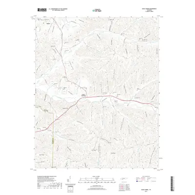 2019 Eagle Creek2019 Print · USGSWayne County and the Tennessee River hills are captured here in 2019, showing the rural landscapes around Clifton and the many creek systems. Genealogists can locate numerous burial grounds including Evans Chapel Cem, Philadelphia Cem, and Blackshire Cem.
 - 2019 Map of Olivehill, 2019 Print
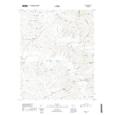 2019 Olivehill2019 Print · USGSThe Tennessee borderlands of Wayne and Hardin Counties come alive in this survey of the ridges and hollows surrounding Olivehill. Researchers can trace generations of families through numerous local sites like Union Chapel, Olive Hill Cem, and Mountain View Cem.
 - 2019 Map of Clifton, 2019 Print
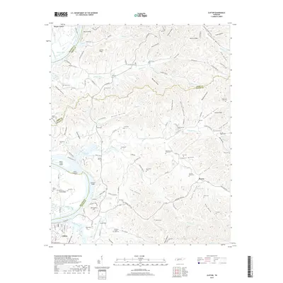 2019 Clifton2019 Print · USGSThe riverfront town of Clifton and the expansive Kentucky Lake waters are shown here as they appeared in the early 21st century. Researchers can locate numerous family burial sites and rural landmarks, from the Henry Culp Family Plot to the Primitive Baptist Cem and Nunnley Ford Cem.
End of results
Showing maps 1-16 of 16
Top cities near Clifton
- Savannah historical maps
- Waynesboro historical maps
- Linden historical maps
- Decaturville historical maps
- Saltillo historical maps
Frequently asked questions
- What are the different types of historical maps available for Clifton?
- What is the oldest map of Clifton?
- Where can I purchase historical maps of Clifton for my home or office?
- Where can I download high-res historical maps of Clifton?
- Are there historical topographic maps available for Clifton?
- Is there historical aerial imagery available for Clifton?
- Where are historical maps of Clifton sourced from?