Old Maps of Burwood, Tennessee for Metal Detecting
Plan your next treasure hunt with 11 historic maps of Burwood. Find old homesites, ghost towns, trails, and gathering spots that may be lost to time — perfect for identifying promising metal detecting locations.
- Locate forgotten sites: Uncover places like long-lost settlements, abandoned rail lines, or gathering spots.
- Plan better hunts: Use map overlays combined with LiDAR or satellite views to narrow in on historically rich areas.
- Made for detectorists: Thousands of hobbyists use these maps to discover relics, coins, and hidden history.
Use these historic maps to boost your research and find new opportunities beneath the surface of Burwood.
Burwood, TN maps
(11)- 1909 Map of Franklin
 1909 Franklin1909 Print · USGSWilliamson County at the start of the twentieth century remains a landscape of historic pikes and rail-side villages. Genealogists can locate family homesteads near landmarks like Thompsons Station, Leipers Fork, and the Boiling Spring Academy.2 unique versions available
 - 1936 Map of Spring Hill
 1936 Spring Hill1936 Print · USGSThe Tennessee and Maury county line area is captured here in the mid-1930s as a landscape of rural schoolhouses and family cemeteries. Local historians can trace the Louisville and Nashville RR corridor and find landmarks like Spring Hill Sta, New Town Cem, and Mt Lavergne Sch.
 - 1946 Map of Spring Hill, 1975 Print
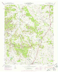 1946 Spring Hill1975 Print · USGSMid-century Middle Tennessee comes into focus as the Louisville and Nashville railroad tracks cut through the hills of Maury and Williamson Counties. Genealogists and historians can trace family plots like Harrison Cem and Patton Cem alongside landmarks such as Thompsons Station and the Mt Laverne School.3 unique versions available
 - 1949 Map of Spring Hill
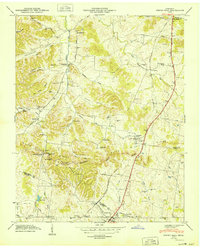 1949 Spring Hill1949 Print · USGSSpring Hill and Thompsons Station are shown here in the late 1940s as central hubs for the local rail and road networks. Genealogists can trace family-named sites such as Harrison Cem, West Harpeth School, and McCormack Crossing along the old pike.
 - 1956 Map of Columbia, 1960 Print
 1956 Columbia1960 Print · USGSMiddle Tennessee in the mid-fifties presents a landscape of established river towns and critical rail hubs before the arrival of the modern interstate system. Researchers can trace the routes of the Louisville and Nashville railroad or locate historic landmarks like Stones River National Military Park and the Tennessee National Wildlife Refuge.6 unique versions available
 - 1985 Map of Murfreesboro, 1986 Print
 1985 Murfreesboro1986 Print · USGSMiddle Tennessee in the mid-1980s shows a landscape of growing towns and deep-rooted rural outposts. Local researchers can trace old family lines near Bell Buckle, locate landmarks like Donnel Chapel, or explore the grounds of Henry Horton State Park and Hoovers Gap.
 - 2010 Map of Spring Hill, 2010 Print
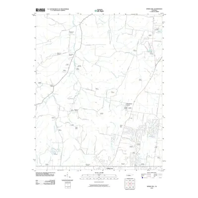 2010 Spring Hill2010 Print · USGSMid-Tennessee's rolling farmland and historic family settlements are captured here just as modern growth began to accelerate. Genealogists and local historians can locate dozens of family burial sites like Harrison Cemetery, the rail stop at Fedco Siding, and landmarks such as Thompson's Station.
 - 2013 Map of Spring Hill, 2013 Print
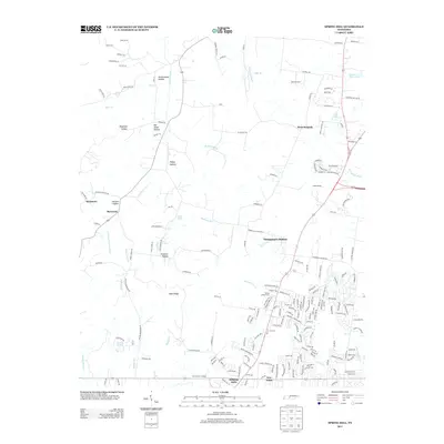 2013 Spring Hill2013 Print · USGSSpring Hill and Thompson's Station are shown here in the early twenty-first century as suburban growth reshapes the Williamson County landscape. Researchers can trace old family landmarks and rural settlements like Burwood, New Town, and Fedco Siding amidst the modern road network.
 - 2016 Map of Spring Hill, 2016 Print
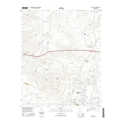 2016 Spring Hill2016 Print · USGSMidway through the 2010s, this portion of Middle Tennessee shows the growing footprint of Spring Hill and Thompson's Station as they expand along the historic rail and road corridors. Genealogists can trace dozens of family burial sites like Harrison Cem and Walton Cem tucked into the hollows of the Tennessee Valley Divide.
 - 2019 Map of Spring Hill, 2019 Print
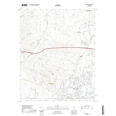 2019 Spring Hill2019 Print · USGSSpring Hill and Thompson's Station are shown in this 2019 survey, where modern growth meets deep-rooted Tennessee history. Genealogists can trace family landmarks and burial sites like Harrison Cem, Barker Cem, and Walton Cem near the W Harpeth River.
 - 2022 Map of Spring Hill, 2022 Print
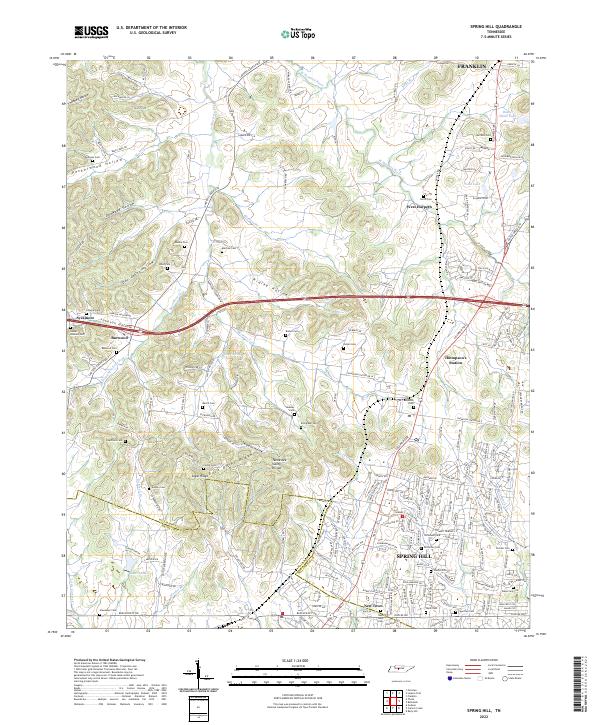 2022 Spring Hill2022 Print · USGSSpring Hill and Thompson's Station are shown during a period of modern growth in this Tennessee landscape. Researchers can trace family history through numerous burial sites like Harrison Cem and Beasley Cem, or explore the terrain of Peckerwood Hollow.
End of results
Showing maps 1-11 of 11
Top cities near Burwood
- Nashville historical maps
- Franklin historical maps
- Brentwood historical maps
- Columbia historical maps
- Spring Hill historical maps
- Fairview historical maps
See more
Frequently asked questions
- What are the different types of historical maps available for Burwood?
- What is the oldest map of Burwood?
- Where can I purchase historical maps of Burwood for my home or office?
- Where can I download high-res historical maps of Burwood?
- Are there historical topographic maps available for Burwood?
- Is there historical aerial imagery available for Burwood?
- Where are historical maps of Burwood sourced from?