Old Maps of Anderson County, Texas
Explore 57 old maps of Anderson County, spanning from 1946 to today. These high-resolution historic maps reveal how streets, neighborhoods, landmarks, and natural features evolved over time — perfect for genealogy, metal detecting, research, and local history exploration.
What you can do with these maps:
- See how Anderson County changed over time: Compare historical maps to modern-day views to trace roads, homesites, rail lines & more.
- View detailed metadata: Each map includes creators, publishers, year, scale, and archive source.
- Overlay maps with satellite & LiDAR: Visualize the past alongside modern tools to explore terrain & human change.
- Trusted historical sources: Maps sourced from the USGS, Library of Congress, and other archives.
- Access maps your way: View online, download high-res files, or order prints for personal or research use.
Start exploring old maps of Anderson County to uncover forgotten places, hidden landmarks, and the deep history beneath your feet.
Anderson County, TX maps
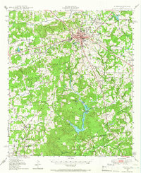
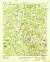
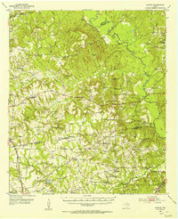
(57)- 1946 Map of Bullard, 1960 Print
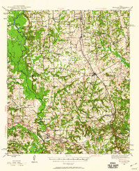 1946 Bullard1960 Print · USGSCovers Anderson County, including Tyler, Jacksonville, and other nearby areas2 unique versions available
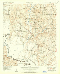
 - 1948 Map of Bullard
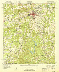
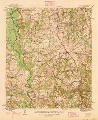 1948 Bullard1948 Print · USGSCovers Anderson County, including Tyler, Jacksonville, and other nearby areas
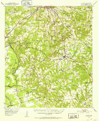
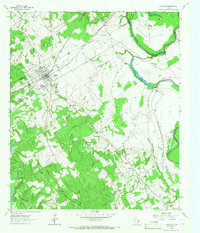
 - 1949 Map of Palestine, 1962 Print
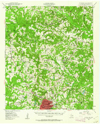 1949 Palestine1962 Print · USGSCovers Anderson County, including Palestine, Elmtown, and other nearby areas3 unique versions available
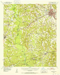
 - 1949 Map of Frankston, 1964 Print
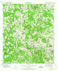 1949 Frankston1964 Print · USGSCovers Anderson County, including Athens, Frankston, and other nearby areas3 unique versions available
 - 1949 Map of Athens, 1966 Print
 1949 Athens1966 Print · USGSCovers Anderson County, including Athens, Malakoff, and other nearby areas3 unique versions available
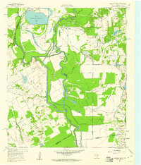
 - 1949 Map of Tennessee Colony, 1967 Print
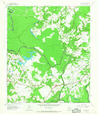
 1949 Tennessee Colony1967 Print · USGSCovers Anderson County, including Greens Bluff, Springfield, and other nearby areas2 unique versions available
 - 1950 Map of Athens
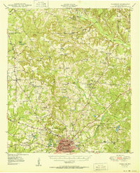
 1950 Athens1950 Print · USGSCovers Anderson County, including Athens, Malakoff, and other nearby areas
 - 1950 Map of Palestine
 1950 Palestine1950 Print · USGSCovers Anderson County, including Palestine, Elmtown, and other nearby areas2 unique versions available
 - 1950 Map of Frankston
 1950 Frankston1950 Print · USGSCovers Anderson County, including Athens, Frankston, and other nearby areas
 - 1950 Map of Tennessee Colony
 1950 Tennessee Colony1950 Print · USGSCovers Anderson County, including Greens Bluff, Springfield, and other nearby areas2 unique versions available
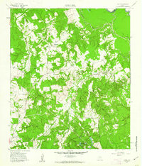
 - 1951 Map of Elkhart, 1952 Print
 1951 Elkhart1952 Print · USGSCovers Anderson County, including Palestine, Elkhart, and other nearby areas2 unique versions available
 - 1951 Map of Jacksonville, 1952 Print
 1951 Jacksonville1952 Print · USGSCovers Anderson County, including Jacksonville, New Hope, and other nearby areas2 unique versions available
 - 1952 Map of Slocum, 1953 Print
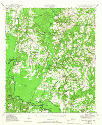
 1952 Slocum1953 Print · USGSCovers Anderson County, including Grapeland, Mound City, and other nearby areas2 unique versions available
 - 1953 Map of Palestine, 1964 Print
 1953 Palestine1964 Print · USGSCovers Anderson County, including Lufkin, Nacogdoches, and other nearby areas2 unique versions available
 - 1954 Map of Dallas, 1963 Print
 1954 Dallas1963 Print · USGSCovers Anderson County, including Dallas, Fort Worth, and other nearby areas4 unique versions available
 - 1954 Map of Waco, 1964 Print
 1954 Waco1964 Print · USGSCovers Anderson County, including Killeen, Waco, and other nearby areas2 unique versions available
 - 1955 Map of Waco
 1955 Waco1955 Print · USGSCovers Anderson County, including Killeen, Waco, and other nearby areas
 - 1956 Map of Tyler
 1956 Tyler1956 Print · USGSCovers Anderson County, including Tyler, Longview, and other nearby areas5 unique versions available
 - 1957 Map of Palestine
 1957 Palestine1957 Print · USGSCovers Anderson County, including Lufkin, Nacogdoches, and other nearby areas
 - 1958 Map of Dallas
 1958 Dallas1958 Print · USGSCovers Anderson County, including Dallas, Fort Worth, and other nearby areas
 - 1960 Map of Creslenn Ranch, 1961 Print
 1960 Creslenn Ranch1961 Print · USGSCovers Anderson County, including Trinidad, Henderson County, and other nearby areas3 unique versions available
 - 1960 Map of Roustabout Camp, 1961 Print
 1960 Roustabout Camp1961 Print · USGSCovers Anderson County, including Navarro County, Freestone County, and other nearby areas4 unique versions available
 - 1961 Map of Young, 1962 Print
 1961 Young1962 Print · USGSCovers Anderson County, including Young, Freestone County, and other nearby areas3 unique versions available
 - 1964 Map of Long Lake, 1967 Print
 1964 Long Lake1967 Print · USGSCovers Anderson County, including Long Lake, Freestone County, and other nearby areas3 unique versions available
 - 1964 Map of Oakwood, 1967 Print
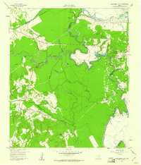
 1964 Oakwood1967 Print · USGSCovers Anderson County, including Saint Paul, Timesville, and other nearby areas
Showing maps 1-25 of 57
Top cities of Anderson County
Frequently asked questions
- What are the different types of historical maps available for Anderson County?
- What is the oldest map of Anderson County?
- Where can I purchase historical maps of Anderson County for my home or office?
- Where can I download high-res historical maps of Anderson County?
- Are there historical topographic maps available for Anderson County?
- Is there historical aerial imagery available for Anderson County?
- Where are historical maps of Anderson County sourced from?