1980s Maps of Anderson County, Texas
Explore 29 historic maps of Anderson County from the 1980s. These maps offer a rare glimpse into what life looked like during the 1980s — showing old roads, neighborhoods, homes, and landmarks that have changed or disappeared over time.
Whether you're researching your family's past, planning a metal detecting trip, or studying how Anderson County's landscape evolved across the 1980s, these high-resolution maps are a powerful tool for exploring the history of this region.
- Focus on a specific era: All maps on this page are from the 1980s, giving you a focused view of this time period.
- See what’s changed: Compare century-old streets, trails, and buildings to today's modern landscape using overlays and satellite layers.
- Research with precision: Use these maps for genealogy, historical research, land use analysis, or educational projects.
- View, download, or print: Maps are fully viewable online in high resolution, and can be downloaded or printed for your own records.
Start exploring Anderson County's history through authentic maps from the 1980s. This is your window into the past.
Anderson County, TX maps
(29)- 1981 Map of Palestine
 1981 Palestine1981 Print · USGSEast Texas was a crossroads of timber, rail, and energy in the early eighties, centered on the bustling junction at Palestine. Researchers can trace family roots through rural landmarks like Old Pioneer Cem, Lynch Academy, and Hudson Chapel.
 - 1982 Map of Indian Lake
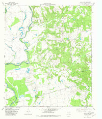 1982 Indian Lake1982 Print · USGSAnderson County and its neighbors Leon and Houston meet here in the early 1980s along the winding Trinity River. Local historians can trace family roots at Parker Cem or locate the site of the Feed Lot and the settlement at Redtown.
 - 1982 Map of Northwest Palestine
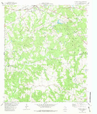
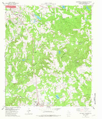
 1982 Northwest Palestine1982 Print · USGSAnderson County in the early eighties shows the northern expansion of Palestine into a landscape defined by creeks and rail lines. Family historians can trace rural roots at Jerusalem Cem, Broyles Chapel, and the National Scientific Balloon Facility.
 - 1982 Map of Maydelle
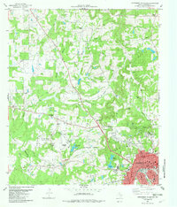
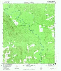
 1982 Maydelle1982 Print · USGSCherokee County at the start of the eighties shows a landscape deeply integrated with the timber industry and historic rail lines. Researchers can trace the path of the Texas State Railroad through Maydelle or locate local landmarks like Roach Town and Holleman Chapel.
 - 1982 Map of Percilla
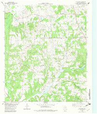
 1982 Percilla1982 Print · USGSThe borderlands of Anderson and Houston County are captured here in the early eighties, showing a landscape defined by petroleum and rural piety. Researchers can trace family roots through numerous local landmarks like Fielders Chapel, Livelyville Church, and the Slocum Oil Field.
 - 1982 Map of Tennessee Colony
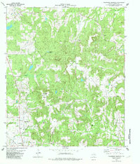
 1982 Tennessee Colony1982 Print · USGSThe community of Tennessee Colony and the nearby Harmony area are shown here in the early 1980s amidst a landscape of creeks and oil production. Genealogists and researchers can locate several local landmarks, including the Jimmison Quarter Cem and Providence Ch.
 - 1982 Map of Elkhart Creek
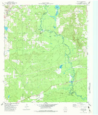
 1982 Elkhart Creek1982 Print · USGSThe Texas countryside south of Palestine in the early 1980s reveals a landscape of rural churches and active petroleum exploration. Genealogists can locate Anthom Cem and several community landmarks like Pilgrim Ch and Rocky Mound Ch along the Missouri Pacific line.
 - 1982 Map of Denson Springs
 1982 Denson Springs1982 Print · USGSAnderson and Cherokee Counties are captured here in the early 1980s, centered on the winding Neches River. Genealogists and local historians can trace the timber and rail history of the era via the Old Railroad Grade and the Wilson-Powell Cem.
 - 1982 Map of Blackfoot
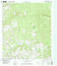
 1982 Blackfoot1982 Print · USGSAnderson County in the early eighties remains a landscape of quiet rural settlements and dense creek bottoms. Genealogists and local historians can trace legacy sites like Liberty Cem, Gray Chapel, and the community of Bradford among the winding oil roads.
 - 1982 Map of Wilkerson Mountain
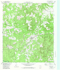
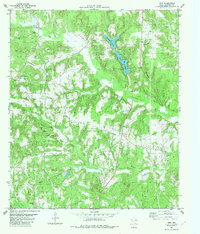
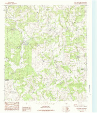
 1982 Wilkerson Mountain1982 Print · USGSAnderson County during the early 1980s reveals a quiet landscape of small hill-country settlements and emerging energy development. Researchers can locate family landmarks like Calhoun Cem and Bois D'Arc Ch or trace the area's geography around Wilkerson Mountain.
 - 1982 Map of Cayuga
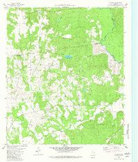
 1982 Cayuga1982 Print · USGSThe rural Anderson County landscape in the early 1980s shows the heavy footprint of the Cayuga Oil Field alongside protected natural lands. Genealogists and researchers can trace family sites at Judson Cem, Jackson Cem, and Shaw Cem.
 - 1982 Map of Yard
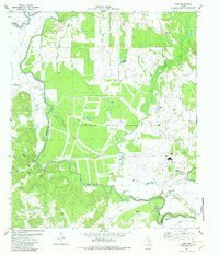 1982 Yard1982 Print · USGSThe Trinity River bottoms in Anderson and Freestone Counties are captured here in the early 1980s, showcasing a landscape of prison agriculture and riverine oxbows. Researchers can locate remote sites like Jackson Cem, the settlement of Yard, and family landmarks such as Tyler Ferry Lake.
 - 1982 Map of Northeast Palestine
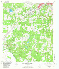
 1982 Northeast Palestine1982 Print · USGSThe outskirts of Palestine and the historic Mound Prairie area are captured here in the early eighties. Researchers can trace family roots through several local landmarks like East Hill Cem, Zion Hill Sch, and the Missouri Pacific rail corridor.
 - 1982 Map of Todd City
 1982 Todd City1982 Print · USGSCherokee and Anderson counties are shown in the early eighties as the regional oil industry peaked. Genealogists can locate family landmarks like Miller Cem, Early Chapel, and the community of Todd City along the Missouri Pacific line.
 - 1982 Map of Neches
 1982 Neches1982 Print · USGSThe Neches River bottomlands and the Anderson-Cherokee county line are captured here in the early eighties. Researchers can trace the paths of the Texas State Railroad, find the Fields Chapel church, and locate family sites like Caldwell Cem.2 unique versions available
 - 1982 Map of Pert
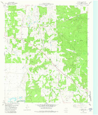
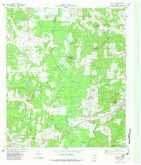
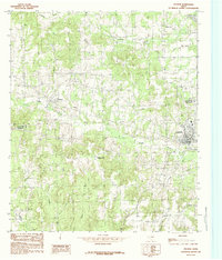
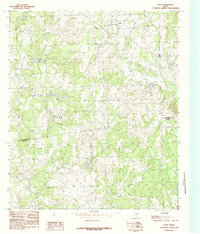
 1982 Pert1982 Print · USGSAnderson County in the early eighties shows a landscape of deep-rooted rural communities and family homesteads. Genealogists can trace local heritage through numerous sites like Olive Branch Cem, Watkins Chapel, and the small settlement of Pert.
 - 1982 Map of Augusta
 1982 Augusta1982 Print · USGSHouston County and the western edge of the Davy Crockett National Forest appear here in the early 1980s. Researchers can locate community centers like Augusta and Waneta, alongside family landmarks such as Bobbitt Cem and Brewington Ch.
 - 1982 Map of Southwest Palestine
 1982 Southwest Palestine1982 Print · USGSSouthwest of Palestine in the early eighties, this landscape shows the convergence of the Missouri Pacific RR and the Trinity River bottoms. Researchers can trace family history at Fort Houston Cem or locate the site of the Old Salt Works.
 - 1982 Map of Southeast Palestine
 1982 Southeast Palestine1982 Print · USGSAnderson County in the early eighties shows a landscape of deep-rooted settlements and active energy production. Researchers can trace the heritage of Elkhart and Slocum while locating rural landmarks like Days Chapel and the Camp Hill Oil Field.
 - 1982 Map of Slocum
 1982 Slocum1982 Print · USGSAnderson County in the early eighties shows a landscape of East Texas petroleum and rail history. Trace the development of the Slocum Oil Field and rural life around Kossuth, Union Hope Ch, and the Texas State Railroad.2 unique versions available
 - 1984 Map of Tyler
 1984 Tyler1984 Print · USGSEast Texas at the peak of its reservoir-building era shows a landscape defined by new lakes and established rail corridors. Trace the path of the St Louis Southwestern RR or locate industrial sites like the Longhorn Ordnance Works.3 unique versions available
 - 1984 Map of Coon Creek Lake
 1984 Coon Creek Lake1984 Print · USGSThe Henderson and Anderson county border in the mid-1980s reveals a landscape defined by its waterways and small-scale industry. Researchers can trace the drainage of Coon Creek and find specific landmarks like Murchison Lake, Old Lake, and a local Mine.
 - 1984 Map of Poynor
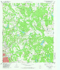
 1984 Poynor1984 Print · USGSEast Texas ranch lands and creek bottoms define this area in the late seventies and early eighties. Genealogists and researchers can trace local family landmarks like the Pleasant Hill Cemetery and the small communities of Poynor, Frankston, and Fosterville.
 - 1984 Map of La Rue
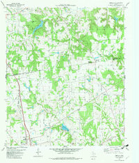
 1984 La Rue1984 Print · USGSThe Henderson and Anderson county line was a patchwork of small lakes and timberland in the late seventies. Researchers can trace rural developments like LaRue and Fincastle alongside family-named landmarks such as Pharris Lakes and Rock Hill.
 - 1984 Map of Cross Roads
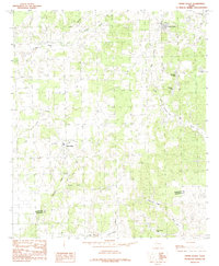 1984 Cross Roads1984 Print · USGSHenderson and Anderson Counties are shown in the 1980s as a landscape of rural settlements and recreational lakes. Genealogists and local historians can trace family-named water bodies like McElvaney Lake and Perryman Lake or the community at Cross Roads.
Showing maps 1-25 of 29
Top cities of Anderson County
Frequently asked questions
- What are the different types of historical maps available for Anderson County?
- What is the oldest map of Anderson County?
- Where can I purchase historical maps of Anderson County for my home or office?
- Where can I download high-res historical maps of Anderson County?
- Are there historical topographic maps available for Anderson County?
- Is there historical aerial imagery available for Anderson County?
- Where are historical maps of Anderson County sourced from?