2010s Maps of Anderson County, Texas
Explore 120 historic maps of Anderson County from the 2010s. These maps offer a rare glimpse into what life looked like during the 2010s — showing old roads, neighborhoods, homes, and landmarks that have changed or disappeared over time.
Whether you're researching your family's past, planning a metal detecting trip, or studying how Anderson County's landscape evolved across the 2010s, these high-resolution maps are a powerful tool for exploring the history of this region.
- Focus on a specific era: All maps on this page are from the 2010s, giving you a focused view of this time period.
- See what’s changed: Compare century-old streets, trails, and buildings to today's modern landscape using overlays and satellite layers.
- Research with precision: Use these maps for genealogy, historical research, land use analysis, or educational projects.
- View, download, or print: Maps are fully viewable online in high resolution, and can be downloaded or printed for your own records.
Start exploring Anderson County's history through authentic maps from the 2010s. This is your window into the past.
Anderson County, TX maps
(120)- 2010 Map of Oakwood, 2010 Print
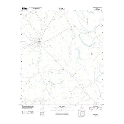 2010 Oakwood2010 Print · USGSOakwood and the surrounding Leon County countryside are documented here at the turn of the twenty-first century. Researchers can trace local lineage and land use through landmarks like Mount Pisgah Cemetery, the settlement at Timesville, and the banks of the Trinity River.
 - 2010 Map of Maydelle, 2010 Print
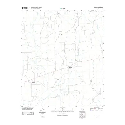 2010 Maydelle2010 Print · USGSCherokee County, Texas, reveals its rural character in this 2010 survey of its rolling timberland and small communities. Researchers can trace the layout of Maydelle or locate family landmarks like Mount Hope School, Ghent Mountain, and the Berge Cemetery.
 - 2010 Map of Pert, 2010 Print
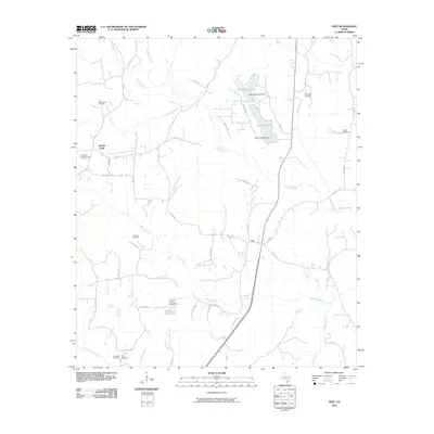 2010 Pert2010 Print · USGSIn this corner of East Texas near the start of the twenty-first century, the rural landscape is anchored by the community of Pert. Researchers can trace local lineage through numerous burial sites like Mount Zion Cemetery, Hardshell Cemetery, and Dabbs Cemetery.
 - 2010 Map of Elkhart Creek, 2010 Print
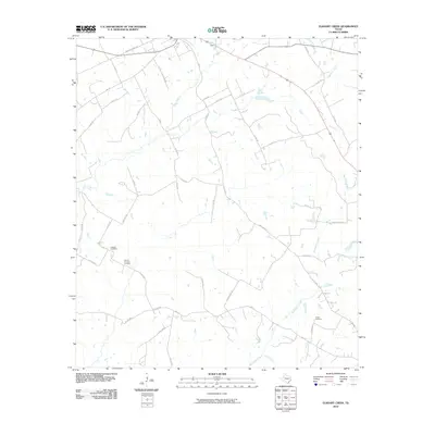 2010 Elkhart Creek2010 Print · USGSAnderson County at the start of the decade reveals a landscape shaped by rural family legacies and winding waterways. Researchers can locate the Anthom Cemetery, trace the path of Big Elkhart Creek, and follow the historic Bonners Ferry Rd.
 - 2010 Map of Neches, 2010 Print
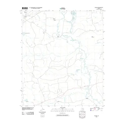 2010 Neches2010 Print · USGSEast Texas river bottomlands and rolling uplands are documented here at the turn of the millennium. Local historians can trace family ties at Caldwell Cemetery and explore the waterway networks around Neches, Jarvis, and the meandering Buzzard Slough.
 - 2010 Map of Southeast Palestine, 2010 Print
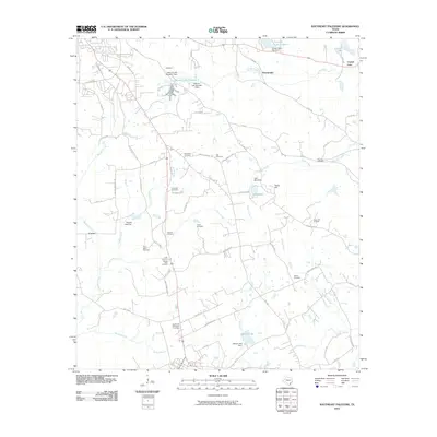 2010 Southeast Palestine2010 Print · USGSSoutheast of Palestine in the early twenty-first century, the Anderson County landscape is deeply marked by its family history and local industry. Genealogists can trace numerous burial sites like Ferguson Cemetery and the Starr Cemetery while locating the Camp Hill Oil Field.
 - 2010 Map of Berryville, 2010 Print
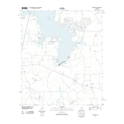 2010 Berryville2010 Print · USGSLake Palestine and the Neches River valley define this area of Anderson and Henderson Counties during the early twenty-first century. Researchers can trace family history at Running Spring Cemetery or explore lakeside developments like Berryville and Cherokee Landing.
 - 2010 Map of Roustabout Camp, 2010 Print
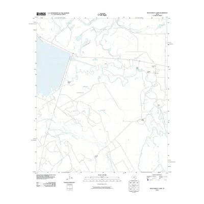 2010 Roustabout Camp2010 Print · USGSThe Trinity River bottomlands near the Anderson and Freestone County line are captured here in the early twenty-first century. Researchers can trace oil field history and river geography through sites like Roustabout Camp, Amerada Camp, and the heights of Walker Bluff.
 - 2010 Map of Long Lake, 2010 Print
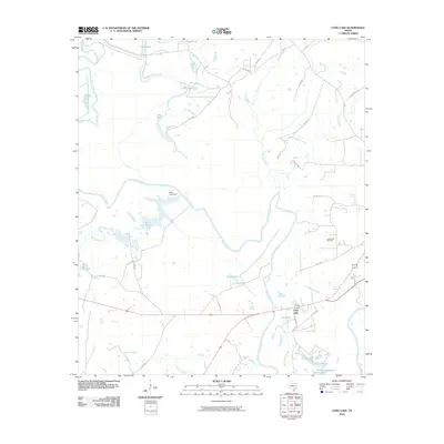 2010 Long Lake2010 Print · USGSAnderson County at the start of the 2010s shows a landscape defined by the winding Trinity River and its many oxbows. Researchers can trace the layout of the Long Lake Oil Field and locate water-bound landmarks like Blue Lake Dam and the settlement of Lake Port.
 - 2010 Map of Northwest Palestine, 2010 Print
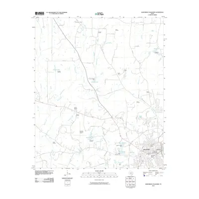 2010 Northwest Palestine2010 Print · USGSThe city of Palestine is shown in the late 2000s, centered on its preserved core and the surrounding Anderson County countryside. Researchers can trace historic preservation in the North Side Historic District or locate family sites like Fort Houston Cemetery and the Gatewood-Shelton Gin.
 - 2010 Map of Southwest Palestine, 2010 Print
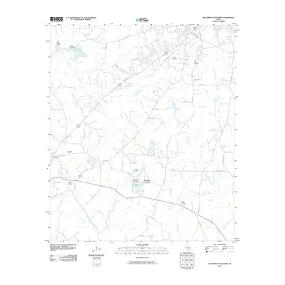 2010 Southwest Palestine2010 Print · USGSThe rural expanses southwest of Palestine come into focus in the early 21st century, revealing a landscape shaped by oil, salt, and community roots. Researchers can trace family history at Fort Houston Cemetery or locate the former grounds of the Long Lake Oil Field and Tucker.
 - 2010 Map of Cayuga, 2010 Print
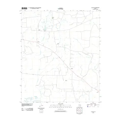 2010 Cayuga2010 Print · USGSAnderson County remains a landscape of ranch lands and quiet creek bottoms in the early twenty-first century. Genealogists and local historians can trace family sites like Judson Cemetery and Jackson Cemetery or locate the Cayuga School and Cox Lake.
 - 2010 Map of Tennessee Colony, 2010 Print
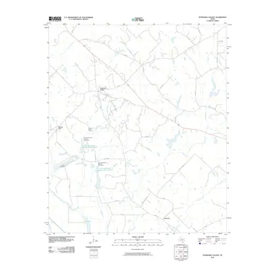 2010 Tennessee Colony2010 Print · USGSAnderson County at the start of the 21st century remains a landscape of quiet rural settlements and managed water systems. Researchers can trace the legacy of local land use through features like the Jimmison Quarter Cemetery, Massey Lake, and the small community of Harmony.
 - 2010 Map of Wilkerson Mountain, 2010 Print
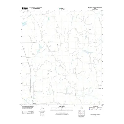 2010 Wilkerson Mountain2010 Print · USGSAnderson County at the start of the decade shows a quiet rural landscape of dispersed settlements and family-named landmarks. Genealogists and local historians can locate the Hopewell Cemetery and trace the paths of Mound Prairie Creek or Lake Creek.
 - 2010 Map of Slocum, 2010 Print
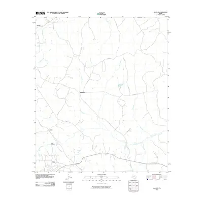 2010 Slocum2010 Print · USGSSlocum and the surrounding Anderson County countryside are captured here in the early 2000s, showing a landscape defined by creek drainage and oil production. Researchers can locate the Slocum Oil Field, trace family roots at Crawford Cemetery, or find the small communities of Alderbranch and Kossuth.
 - 2010 Map of Denson Springs, 2010 Print
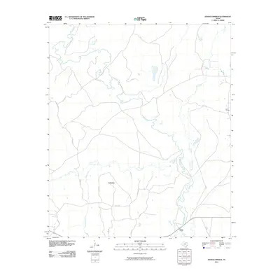 2010 Denson Springs2010 Print · USGSAnderson County at the start of the decade is defined by the winding Neches River and its dense network of rural county roads. Researchers can locate the Sardis Cemetery and trace crossings like the Fastrill Bridge or the heights of Bird Mountain.
 - 2010 Map of Blackfoot, 2010 Print
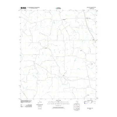 2010 Blackfoot2010 Print · USGSAnderson County's rural landscapes are documented here during the early 21st century, showing the transition between farm life and industry. Genealogists and historians can locate Liberty Cemetery, trace the Blackfoot Oil Field, and find the grounds of Camp Bette Perot.
 - 2010 Map of Young, 2010 Print
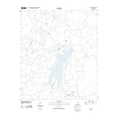 2010 Young2010 Print · USGSFreestone County's water-rich landscape is captured here in the early twenty-first century, centered on the complex shoreline of Fairfield Lake. Researchers can locate ancestral sites like Rehobath Cemetery and Chancellor Cemetery or trace old routes along Big Brown Creek.
 - 2010 Map of Yard, 2010 Print
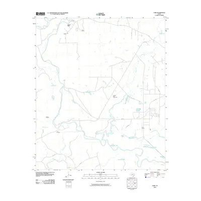 2010 Yard2010 Print · USGSAnderson County's river-bottom terrain is captured here at the start of the decade, where the Trinity River meets its complex network of oxbow lakes. Genealogists and local historians can locate family landmarks like Jackson Cemetery, Tyus Cemetery, and the riverfront bluff at Yard.
 - 2010 Map of Northeast Palestine, 2010 Print
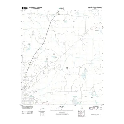 2010 Northeast Palestine2010 Print · USGSAnderson County east of PALESTINE is shown here as a landscape of family-named cemeteries and small private reservoirs. Local researchers can trace family lands through numerous sites like Pine Ridge Cemetery, Lumpkin Cemetery, and Lost Prairie Lake.
 - 2010 Map of Percilla, 2010 Print
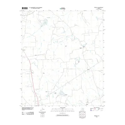 2010 Percilla2010 Print · USGSHouston County at the turn of the decade is shown here through its quiet rural settlements and extensive network of community cemeteries. Genealogists and local historians can trace the sites of Salmon, Percilla, and Refuge, alongside landmarks like Houston Mound.
 - 2010 Map of Creslenn Ranch, 2010 Print
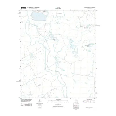 2010 Creslenn Ranch2010 Print · USGSHenderson County ranching and utility infrastructure meet along the Trinity River in the early 2000s. Genealogists and local historians can trace the Princeton Cemetery, explore the South Malakoff Oil Field, or locate the Texas Utilities Company Airport near the river's edge.
 - 2010 Map of Butler, 2010 Print
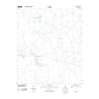 2010 Butler2010 Print · USGSFreestone County, Texas, is captured here in the early twenty-first century, showing a rural landscape defined by ranching and water management. Genealogists can trace local roots at Sand Hill or Maze Cemetery, and locate homesteads near Butler or Red Lake.
 - 2010 Map of Indian Lake, 2010 Print
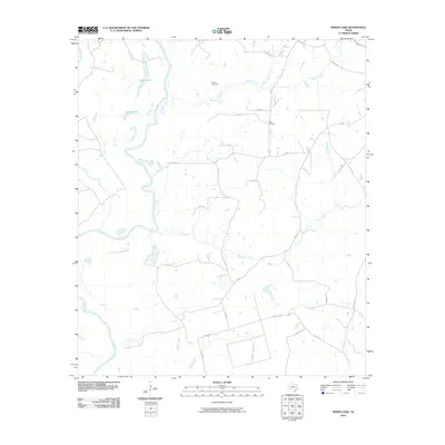 2010 Indian Lake2010 Print · USGSAnderson County at the start of the 2010s reveals a quiet landscape of river bottomlands and rural homesteads. Genealogists and local historians can locate family landmarks such as Parker Cemetery and Davis Cemetery near the banks of Manson Creek.
 - 2010 Map of Todd City, 2010 Print
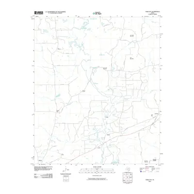 2010 Todd City2010 Print · USGSTodd City and the high ground of Cherokee County are shown here during the early twenty-first century as oil production and timbered hillsides shaped the community. Genealogists can locate family landmarks like Miller Cemetery, Earls Chapel, and the settlement of Ironton.
Showing maps 1-25 of 120
Top cities of Anderson County
Frequently asked questions
- What are the different types of historical maps available for Anderson County?
- What is the oldest map of Anderson County?
- Where can I purchase historical maps of Anderson County for my home or office?
- Where can I download high-res historical maps of Anderson County?
- Are there historical topographic maps available for Anderson County?
- Is there historical aerial imagery available for Anderson County?
- Where are historical maps of Anderson County sourced from?