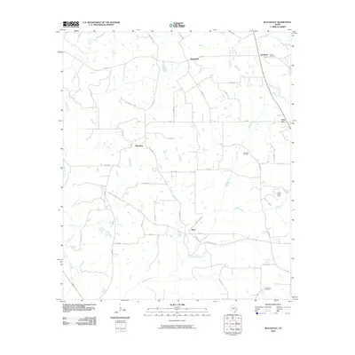
2010 Map of Blackfoot
USGS Topo · Published 2010About this map
Blackfoot and its surrounding rural communities in Anderson County are defined by a network of farm-to-market roads and winding waterways. The landscape is marked by the presence of the Blackfoot Oil Field, indicating the importance of local energy production in this region. Settlement patterns cluster around historic junctions like Springfield and Bradford, where Liberty Cemetery serves as a genealogical touchstone.
Find a feature on this map
45 named features on this map. Tap any name to fly to it.
Don’t see what you’re looking for? This feature index may not catch every label — zoom into the map to look around manually.
Map Details
Editions of this 2010 Blackfoot Map
This is the sole edition of this map. No revisions or reprints were ever made.
Other maps of this area

1949 · Palestine
USGS Topo · 1:62,500

1949 · Frankston
USGS Topo · 1:62,500

1949 · Athens
USGS Topo · 1:62,500

1949 · Tennessee Colony
USGS Topo · 1:62,500

1950 · Athens
USGS Topo · 1:62,500

1950 · Palestine
USGS Topo · 1:62,500

1950 · Frankston
USGS Topo · 1:62,500

1950 · Tennessee Colony
USGS Topo · 1:62,500

1953 · Palestine
USGS Topo · 1:250,000

1956 · Tyler
USGS Topo · 1:250,000