Old Maps of Oak Flat, Texas for Metal Detecting
Plan your next treasure hunt with 14 historic maps of Oak Flat. Find old homesites, ghost towns, trails, and gathering spots that may be lost to time — perfect for identifying promising metal detecting locations.
- Locate forgotten sites: Uncover places like long-lost settlements, abandoned rail lines, or gathering spots.
- Plan better hunts: Use map overlays combined with LiDAR or satellite views to narrow in on historically rich areas.
- Made for detectorists: Thousands of hobbyists use these maps to discover relics, coins, and hidden history.
Use these historic maps to boost your research and find new opportunities beneath the surface of Oak Flat.
Oak Flat, TX maps
(14)- 1949 Map of Lufkin, 1961 Print
 1949 Lufkin1961 Print · USGSPost-war Angelina County shows a growing Lufkin amid a landscape of timber and rail. Genealogists can trace family names through dozens of landmarks like Homer Cem, Jacob Chapel Cem, and the old settlement at Marion.2 unique versions available
 - 1949 Map of Huntington, 1975 Print
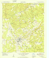
 1949 Huntington1975 Print · USGSPost-war Huntington and the surrounding piney woods are captured here at a time when small rural schools and family cemeteries still anchored the community. Genealogists can trace family roots at Rocky Springs Cem, Little Flock Ch, and the outlying settlement of Alco.2 unique versions available
 - 1950 Map of Huntington
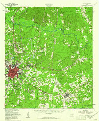
 1950 Huntington1950 Print · USGSMid-century Angelina County, Texas, reveals a landscape of dense piney woods and vital railroad junctions. Genealogists and historians can trace local family roots through sites like Huntington Cem, Rocky Hill Sch, and the remote Robinson Blue Springs.
 - 1953 Map of Palestine, 1964 Print
 1953 Palestine1964 Print · USGSEast Texas was defined by its deep pine forests and burgeoning energy sector in the mid-1950s. Genealogists and historians can trace the rail-and-river economy through settlements like Tennessee Colony and Pollok or explore the early footprints of the Cayuga Oil Field and Davy Crockett National Forest.2 unique versions available
 - 1957 Map of Palestine
 1957 Palestine1957 Print · USGSEast Texas in the mid-fifties reveals a landscape of deep pine forests and winding river valleys before the era of massive reservoir construction. Researchers can trace the legacy of the timber and rail industries through labels for the Missouri Pacific RR, Davy Crockett National Forest, and Nacogdoches.
 - 1984 Map of Palestine
 1984 Palestine1984 Print · USGSEast Texas in the mid-eighties reveals a landscape of massive reservoirs and protected timberlands between Palestine and Nacogdoches. Researchers can trace old routes like the Missouri Pacific RR and locate rural communities such as Tennessee Colony, Latexo, and Etoile.3 unique versions available
 - 1986 Map of Lufkin
 1986 Lufkin1986 Print · USGSDeep in the Piney Woods during the mid-eighties, this map documents a landscape shaped by vast national forests and the waters of the Sam Rayburn Reservoir. Researchers can trace the legacy of timber and rail through settlements like Diboll, Herty, and Ewing alongside the St Louis Southwestern railroad.
 - 1992 Map of Lufkin
 1992 Lufkin1992 Print · USGSThe Piney Woods of East Texas are captured here in the early nineties, centered on the growing industrial hub of Lufkin. Local researchers can trace the rail networks of the Angelina & Neches River RR and locate rural landmarks like Shady Grove Ch and Manning.
 - 2003 Map of Huntington, 2004 Print
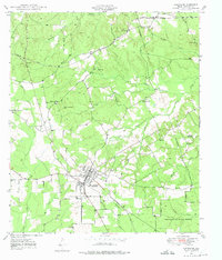
 2003 Huntington2004 Print · USGSAngelina County settlement and forest management intersect in this early 2000s study of the Huntington area. Researchers can trace rural lineage through numerous landmarks like Traweek Cem, Little Hope Ch, and the outlying community of Dunagan.
 - 2010 Map of Huntington, 2010 Print
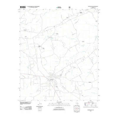 2010 Huntington2010 Print · USGSCovers Oak Flat, including Huntington, Rocky Springs, and other nearby areas
 - 2013 Map of Huntington, 2013 Print
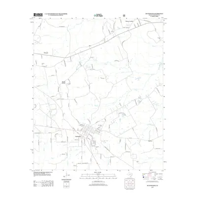 2013 Huntington2013 Print · USGSCovers Oak Flat, including Huntington, Rocky Springs, and other nearby areas
 - 2016 Map of Huntington, 2016 Print
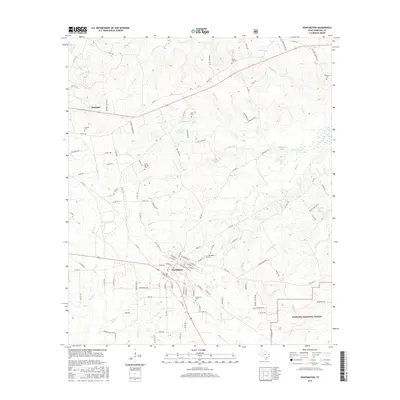 2016 Huntington2016 Print · USGSCovers Oak Flat, including Huntington, Rocky Springs, and other nearby areas
 - 2019 Map of Huntington, 2019 Print
 2019 Huntington2019 Print · USGSCovers Oak Flat, including Huntington, Rocky Springs, and other nearby areas
 - 2022 Map of Huntington, 2022 Print
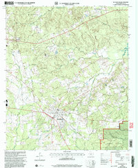
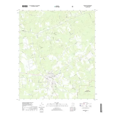
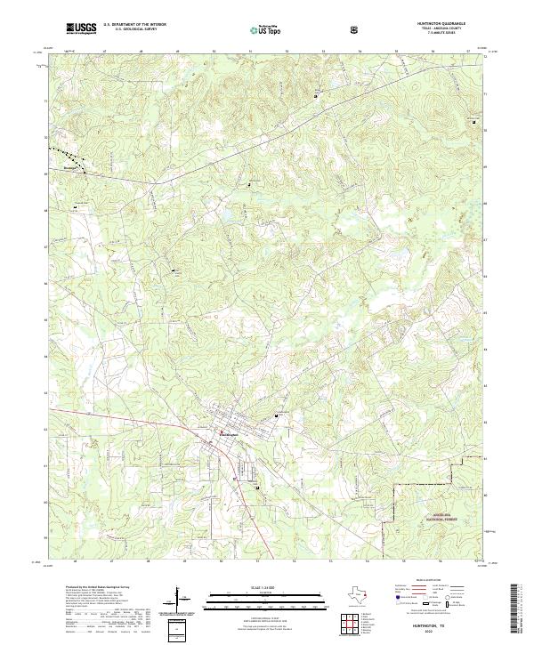 2022 Huntington2022 Print · USGSAngelina County at the start of the 2020s shows the town of Huntington as a thriving hub for the surrounding piney woods. Researchers can trace local lineage through the Huntington Cemetery or map the rail corridor of the Southern Pacific Railroad as it passes near Manning.
End of results
Showing maps 1-14 of 14
Top cities near Oak Flat
- Lufkin historical maps
- Huntington historical maps
- Redland historical maps
- Burke historical maps
- Zavalla historical maps
- Chireno historical maps
Frequently asked questions
- What are the different types of historical maps available for Oak Flat?
- What is the oldest map of Oak Flat?
- Where can I purchase historical maps of Oak Flat for my home or office?
- Where can I download high-res historical maps of Oak Flat?
- Are there historical topographic maps available for Oak Flat?
- Is there historical aerial imagery available for Oak Flat?
- Where are historical maps of Oak Flat sourced from?