Old Maps of Spanish Village, Texas
Explore 10 old maps of Spanish Village, spanning from 1952 to today. These high-resolution historic maps reveal how streets, neighborhoods, landmarks, and natural features evolved over time — perfect for genealogy, metal detecting, research, and local history exploration.
What you can do with these maps:
- See how Spanish Village changed over time: Compare historical maps to modern-day views to trace roads, homesites, rail lines & more.
- View detailed metadata: Each map includes creators, publishers, year, scale, and archive source.
- Overlay maps with satellite & LiDAR: Visualize the past alongside modern tools to explore terrain & human change.
- Trusted historical sources: Maps sourced from the USGS, Library of Congress, and other archives.
- Access maps your way: View online, download high-res files, or order prints for personal or research use.
Start exploring old maps of Spanish Village to uncover forgotten places, hidden landmarks, and the deep history beneath your feet.
Spanish Village, TX maps
(10)- 1952 Map of Tivoli SW, 1953 Print
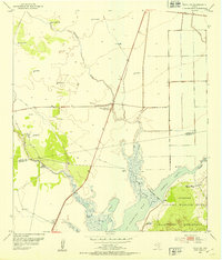 1952 Tivoli SW1953 Print · USGSThe coastal prairie of Refugio and Aransas counties is captured here in the early fifties, showcasing the vital water systems of the Texas coast. Researchers can trace historic ranching infrastructure through named sites like Spanish Village, Lucky Windmill, and Lake Burgentine.
 - 1953 Map of Beeville
 1953 Beeville1953 Print · USGSThe Texas Coastal Bend in the early fifties shows a landscape of growing regional hubs and vital maritime corridors. Trace the rail-and-river economy through Goliad, locate the Matagorda Lighthouse, and explore the sprawling Aransas National Wildlife Refuge.
 - 1956 Map of Beeville
 1956 Beeville1956 Print · USGSCoastal Texas and the brush country interior are shown in the mid-fifties, from the coastal bays to the inland oil fields. Trace the old rail lines of the Southern Pacific RR or locate the historic Matagorda Lighthouse and the Aransas National Wildlife Refuge.2 unique versions available
 - 1960 Map of Beeville
 1960 Beeville1960 Print · USGSCoastal Texas in the mid-fifties reveals a landscape of growing towns and vital military outposts like Foster AFB. Researchers can trace old rail lines including the Missouri Pacific and explore the vast Aransas National Wildlife Refuge.
 - 1983 Map of San Antonio Bay
 1983 San Antonio Bay1983 Print · USGSThe Texas Coastal Bend in the early eighties is a landscape of expansive estuaries and barrier islands. Local historians can trace the development of Port O'Connor and Seadrift, the boundaries of the Aransas National Wildlife Refuge, and the path of an Old RR Grade near Tivoli.
 - 2010 Map of Tivoli SW, 2010 Print
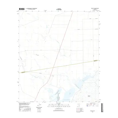
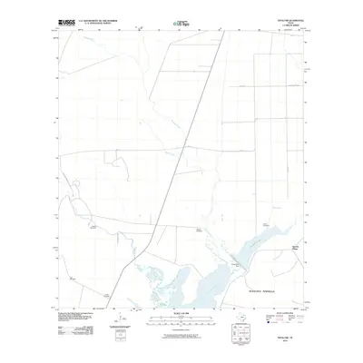 2010 Tivoli SW2010 Print · USGSCovers Spanish Village, including Aransas County, Refugio County, and other nearby areas
 - 2013 Map of Tivoli SW, 2013 Print
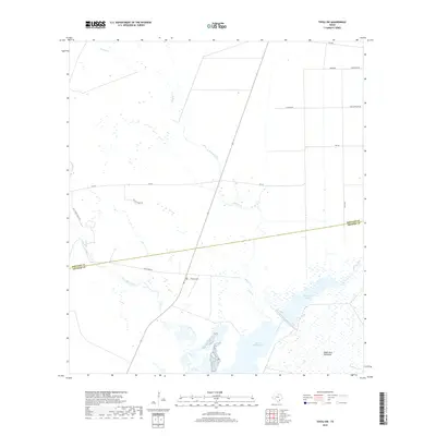
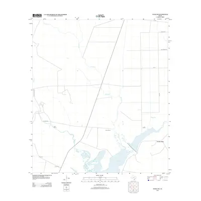 2013 Tivoli SW2013 Print · USGSCovers Spanish Village, including Aransas County, Refugio County, and other nearby areas
 - 2016 Map of Tivoli SW, 2016 Print
 2016 Tivoli SW2016 Print · USGSCovers Spanish Village, including Aransas County, Refugio County, and other nearby areas
 - 2019 Map of Tivoli SW, 2019 Print
 2019 Tivoli SW2019 Print · USGSCovers Spanish Village, including Aransas County, Refugio County, and other nearby areas
 - 2022 Map of Tivoli SW, 2022 Print
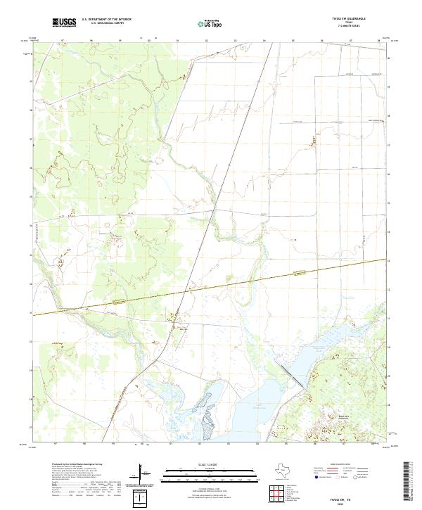 2022 Tivoli SW2022 Print · USGSThe coastal wetlands of Refugio and Aransas Counties are captured in this recent survey of the Texas Gulf Coast. Researchers can trace the drainage of Artesian Cr and Willow Creek into Saint Charles Bay or locate landmarks like Tatton Trl.
End of results
Showing maps 1-10 of 10
Top cities near Spanish Village
Frequently asked questions
- What are the different types of historical maps available for Spanish Village?
- What is the oldest map of Spanish Village?
- Where can I purchase historical maps of Spanish Village for my home or office?
- Where can I download high-res historical maps of Spanish Village?
- Are there historical topographic maps available for Spanish Village?
- Is there historical aerial imagery available for Spanish Village?
- Where are historical maps of Spanish Village sourced from?