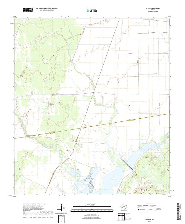
2022 Map of Tivoli SW
USGS Topo · Published 2022About this map
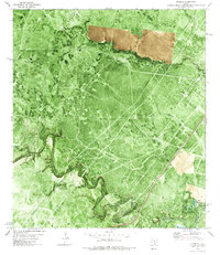
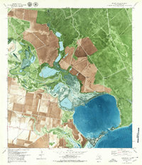
Saint Charles Bay and the surrounding coastal wetlands of Refugio and Aransas Counties define this 2022 survey. The landscape is characterized by a complex network of tidally influenced waterways, including Burgentine Creek and Salt Creek, which drain into the bay. Significant topographical features such as Black Jack Peninsula and Burgentine Lake highlight the low-lying nature of the Texas Gulf Coast.
Find a feature on this map
21 named features on this map. Tap any name to fly to it.
Don’t see what you’re looking for? This feature index may not catch every label — zoom into the map to look around manually.
Map Details
Editions of this 2022 Tivoli SW Map
This is the sole edition of this map. No revisions or reprints were ever made.
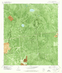
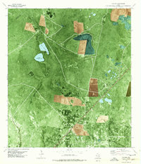
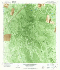
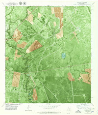
Historical Maps of Spanish Village Through Time
17 maps found
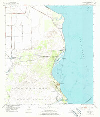
1952 Tivoli SE
Refugio County, TX
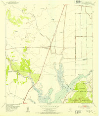
1952 Tivoli SW
Refugio County, TX
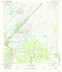
1954 Vidaurri
Refugio County, TX
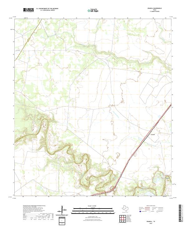
1978 Cranell
Refugio County, TX
1978 Twin Mott Lake
Refugio County, TX
1978 Vidaurri
Refugio County, TX
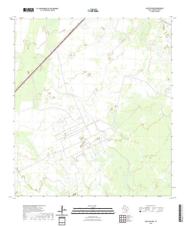
1979 Lake Pasture
Refugio County, TX
1979 Mission Bay
Refugio County, TX
1979 Quintana
Refugio County, TX
2022 Cranell
Refugio County, TX
2022 Lake Pasture
Refugio County, TX
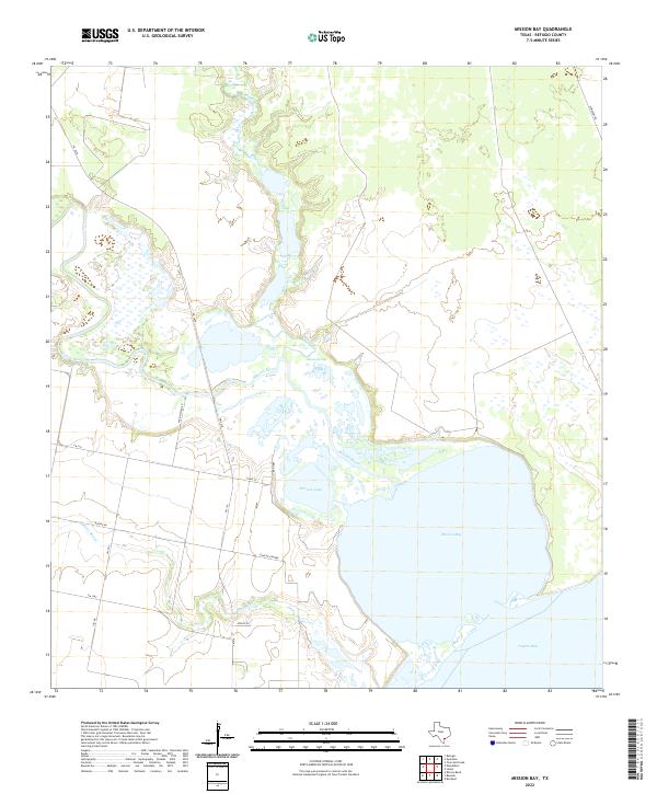
2022 Mission Bay
Refugio County, TX
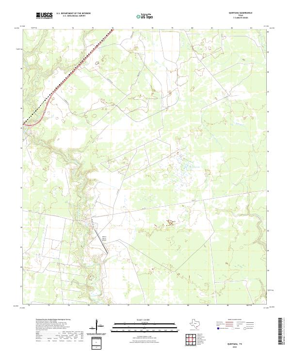
2022 Quintana
Refugio County, TX
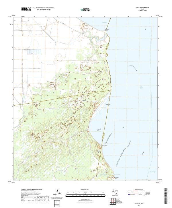
2022 Tivoli SE
Refugio County, TX
2022 Tivoli SW
Refugio County, TX
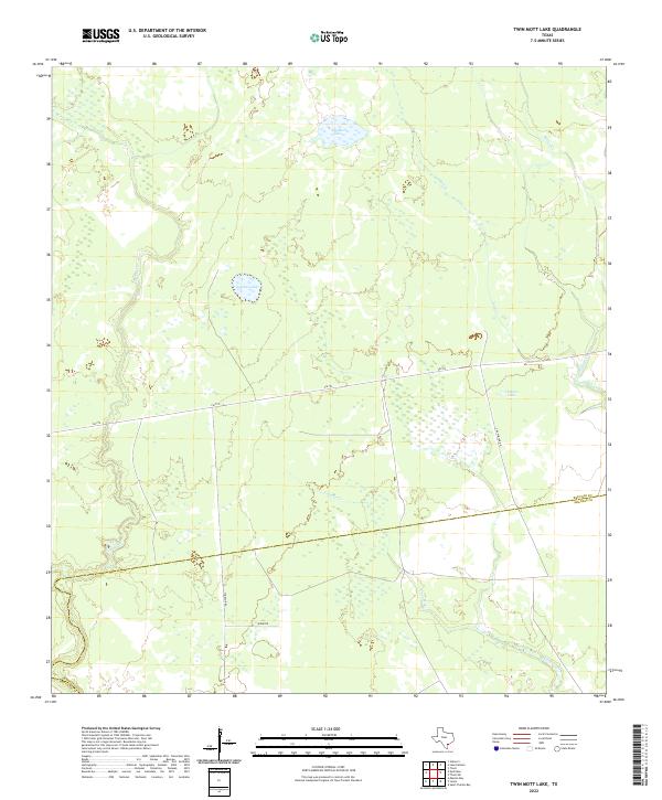
2022 Twin Mott Lake
Refugio County, TX
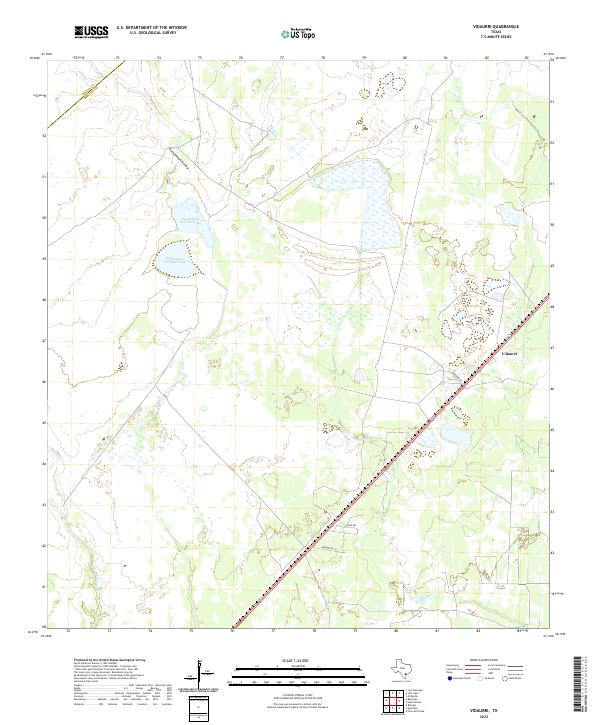
2022 Vidaurri
Refugio County, TX