1979 Map of Lake Pasture
USGS Topo · Published 1979About this map
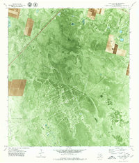
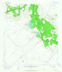
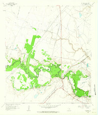
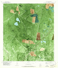
The Tom O'Connor Lake Pasture Oil Field dominates the coastal plains of Refugio County in the late 1970s, revealing an intricate industrial grid of service roads and extraction points. This orthophotomap provides a unique visual hybrid, overlaying topographic data and property lines onto aerial photography to show the exact footprint of the Lake Pasture Oil Field and the neighboring Huff Oil and Gas Field. The landscape is defined by the heavy infrastructure of the energy sector, with numerous pipelines traversing the terrain alongside the Missouri Pacific railroad. Natural drainage patterns remain visible through the industrial development, as Artesian Creek, Willow Creek, and Salt Creek wind through the pastureland toward the Gulf. Smaller details like a Flowing Well and a prominent Radio Tower serve as distinct landmarks within this specialized production landscape.
Find a feature on this map
14 named features on this map. Tap any name to fly to it.
Don’t see what you’re looking for? This feature index may not catch every label — zoom into the map to look around manually.
Map Details
Editions of this 1979 Lake Pasture Map
This is the sole edition of this map. No revisions or reprints were ever made.
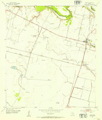
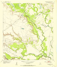
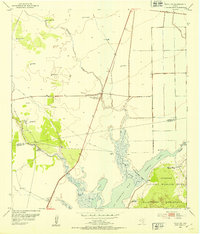
Other maps of this area
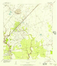
1952 · Tivoli
USGS Topo · 1:24,000
1952 · Bloomington SW
USGS Topo · 1:24,000
1952 · Tivoli SW
USGS Topo · 1:24,000

1953 · Beeville
USGS Topo · 1:250,000
1954 · Vidaurri
USGS Topo · 1:62,500

1956 · Beeville
USGS Topo · 1:250,000

1960 · Beeville
USGS Topo · 1:250,000
1962 · Lott Lake
USGS Topo · 1:24,000
1962 · McFaddin
USGS Topo · 1:24,000
1978 · Vidaurri
USGS Topo · 1:24,000