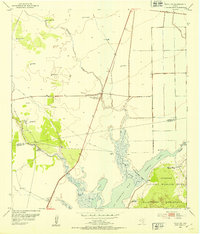
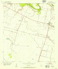
1952 Map of Tivoli SW
USGS Topo · Published 1953About this map
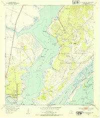
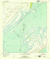
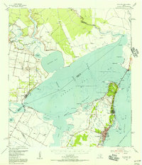
Aransas National Wildlife Refuge anchors the southeastern corner of this coastal survey, where the terrestrial landscape of Blackjack Peninsula meets the shallow waters of St Charles Bay. The terrain is defined by a network of ephemeral water sources and wells essential to the ranching economy of the Texas Coastal Bend. Named landmarks such as O'Leary Motte Well, Black Motte Well, and Dogwood Well suggest the placement of small groves of trees or mottes, providing vital shade and orientation in the flat prairie.
Find a feature on this map
27 named features on this map. Tap any name to fly to it.
Don’t see what you’re looking for? This feature index may not catch every label — zoom into the map to look around manually.
Map Details
Editions of this 1952 Tivoli SW Map
This is the sole edition of this map. No revisions or reprints were ever made.
Other maps of this area
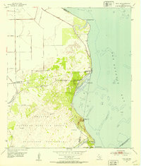
1952 · St. Charles Bay
USGS Topo · 1:24,000
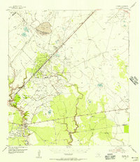
1952 · Tivoli
USGS Topo · 1:24,000
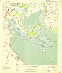
1952 · Mesquite Bay
USGS Topo · 1:24,000
1952 · Tivoli SE
USGS Topo · 1:24,000
1952 · Austwell
USGS Topo · 1:24,000

1953 · Beeville
USGS Topo · 1:250,000
1954 · Rockport
USGS Topo · 1:62,500
1954 · Vidaurri
USGS Topo · 1:62,500

1956 · Beeville
USGS Topo · 1:250,000

1960 · Beeville
USGS Topo · 1:250,000