
1952 Map of St. Charles Bay
USGS Topo · Published 1953About this map
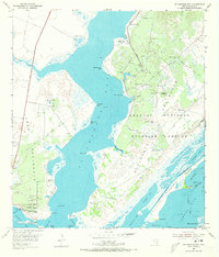
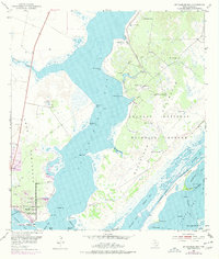
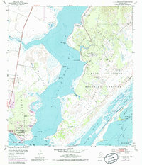
St Charles Bay dominates this coastal landscape, separating the Lamar Peninsula from the protected expanse of the Aransas National Wildlife Refuge on the Blackjack Peninsula. The 1950s era finds the region defined by its water-dependent industry and navigation, with the Intracoastal Waterway Bludworth Island cutting through the complex of bays and islands to the south. Local landmarks like the Big Tree and the Star of the Sea Chapel provide cultural anchors on the Lamar side, while numerous family-named windmills like the McHugh Windmill and Alamos Windmill speak to the ranching operations that once thrived alongside the salt marshes. This survey captures the transition of the Texas coast into a hub of conservation and waterway commerce, evidenced by the presence of Goose Island State Park and the network of gas wells and pumping stations dotting the peninsula.
Find a feature on this map
51 named features on this map. Tap any name to fly to it.
Don’t see what you’re looking for? This feature index may not catch every label — zoom into the map to look around manually.
Map Details
Editions of this 1952 St. Charles Bay Map
4 editions found
Other maps of this area

1952 · St. Charles Bay SW
USGS Topo · 1:24,000

1952 · Mesquite Bay
USGS Topo · 1:24,000

1952 · Tivoli SE
USGS Topo · 1:24,000

1952 · Tivoli SW
USGS Topo · 1:24,000

1952 · St. Charles Bay SE
USGS Topo · 1:24,000

1953 · Beeville
USGS Topo · 1:250,000

1954 · Rockport
USGS Topo · 1:62,500

1954 · Vidaurri
USGS Topo · 1:62,500

1956 · Beeville
USGS Topo · 1:250,000

1960 · Beeville
USGS Topo · 1:250,000