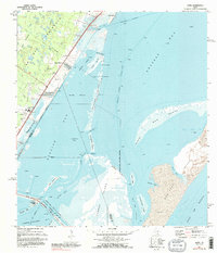
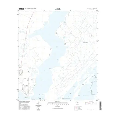
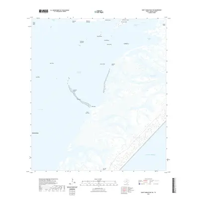
1952 Map of St. Charles Bay
USGS Topo · Published 1985About this map
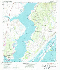
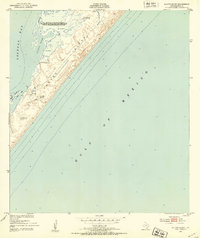
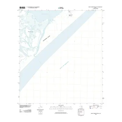
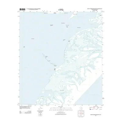
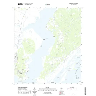
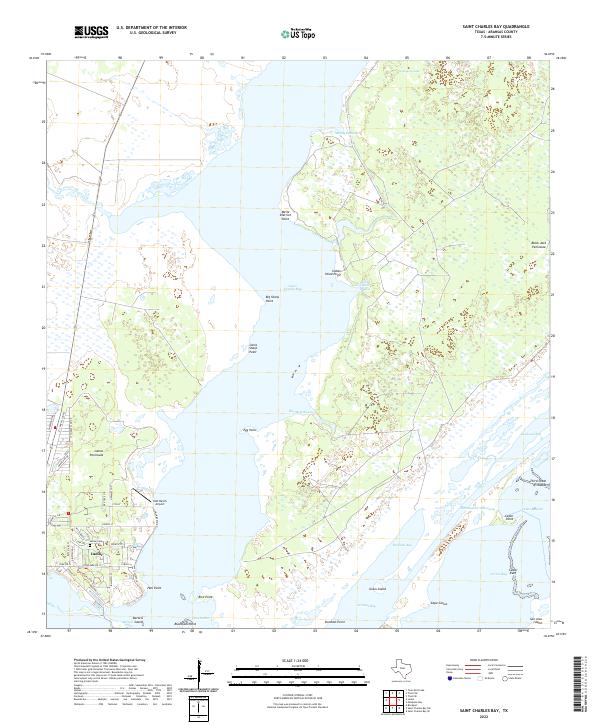
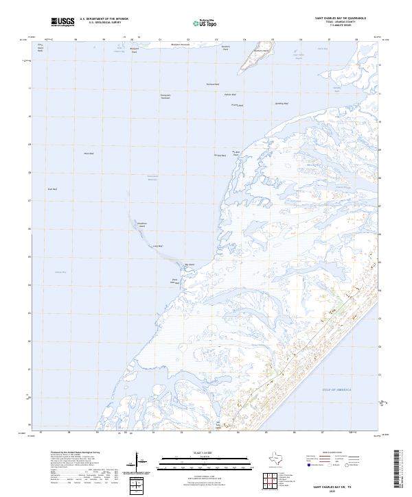
St Charles Bay serves as the central focal point of this coastal landscape, separating the Lamar Peninsula from the protected grounds of the Aransas National Wildlife Refuge. Surveyed in 1952 with revisions through the early 1970s, the map illustrates a complex network of bays and inlets, including Dunham Bay and the straight-cut line of the Intracoastal Waterway slicing through Bludworth Island. On the western shore, the developed pocket of Goose Island State Park contains specific landmarks such as the Star of the Sea Chapel, the historic Lamar Cem, and the notable Big Tree. The surrounding terrain transitions from the salt marshes of Blackjack Peninsula to the open waters of Aransas Bay, providing a clear view of the navigational environment and early petroleum exploration indicated by numerous well sites scattered across the peninsula.
Find a feature on this map
43 named features on this map. Tap any name to fly to it.
Don’t see what you’re looking for? This feature index may not catch every label — zoom into the map to look around manually.
Map Details
Editions of this 1952 St. Charles Bay Map
4 editions found
Historical Maps of Aransas County Through Time
36 maps found
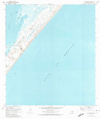
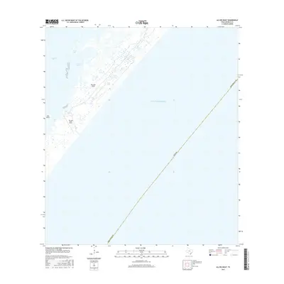
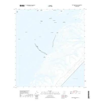
1951 Allyns Bight
Aransas County, TX
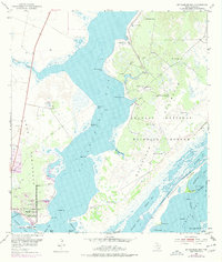
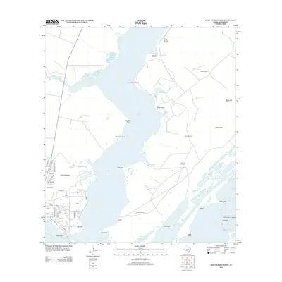
1952 St. Charles Bay
Aransas County, TX

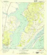
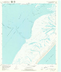
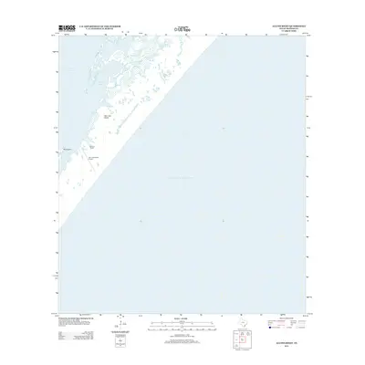
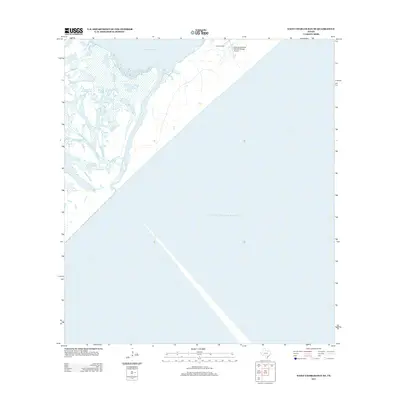
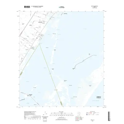
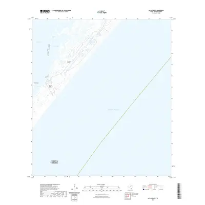
1952 St. Charles Bay SE
Aransas County, TX
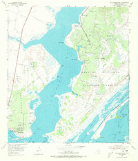
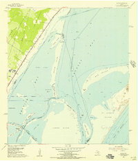
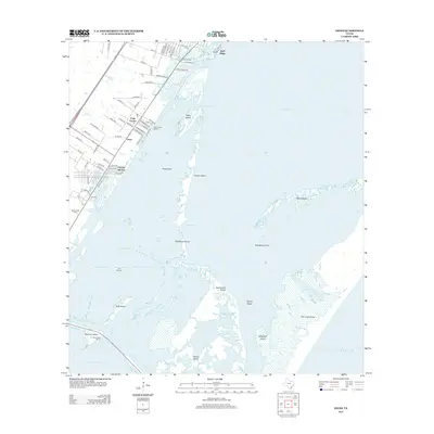
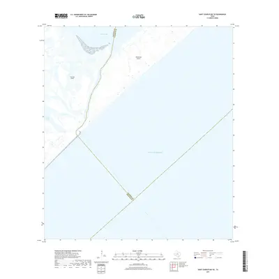
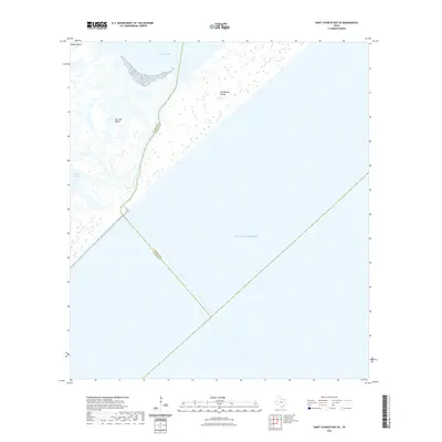
1952 St. Charles Bay SW
Aransas County, TX
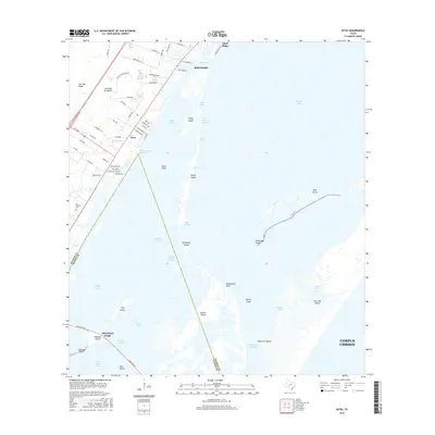
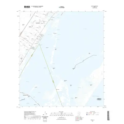
1954 Estes
Aransas County, TX
1970 Allyns Bight
Aransas County, TX
1971 Estes
Aransas County, TX
2010 Allyns Bight
Aransas County, TX
2010 Estes
Aransas County, TX
2010 Saint Charles Bay
Aransas County, TX
2010 Saint Charles Bay SE
Aransas County, TX

2010 Saint Charles Bay SW
Aransas County, TX
2012 Allyns Bight
Aransas County, TX
2013 Estes
Aransas County, TX
2013 Saint Charles Bay
Aransas County, TX
2013 Saint Charles Bay SE
Aransas County, TX
2013 Saint Charles Bay SW
Aransas County, TX
2016 Allyns Bight
Aransas County, TX
2016 Estes
Aransas County, TX
2016 Saint Charles Bay
Aransas County, TX
2016 Saint Charles Bay SE
Aransas County, TX
2016 Saint Charles Bay SW
Aransas County, TX
2019 Allyns Bight
Aransas County, TX
2019 Estes
Aransas County, TX
2019 Saint Charles Bay
Aransas County, TX
2019 Saint Charles Bay SE
Aransas County, TX
2019 Saint Charles Bay SW
Aransas County, TX
2022 Allyns Bight
Aransas County, TX
2022 Estes
Aransas County, TX
2022 Saint Charles Bay
Aransas County, TX
2022 Saint Charles Bay SE
Aransas County, TX
2022 Saint Charles Bay SW
Aransas County, TX
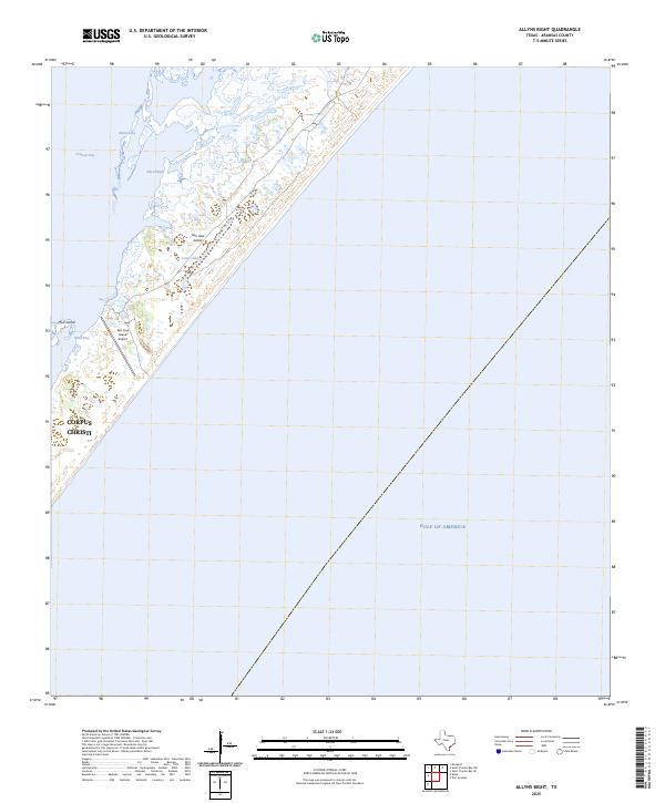
2025 Allyns Bight
Aransas County, TX
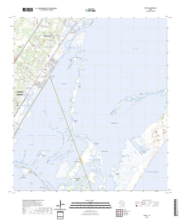
2025 Estes
Aransas County, TX
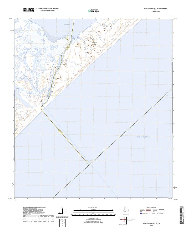
2025 Saint Charles Bay SE
Aransas County, TX
2025 Saint Charles Bay SW
Aransas County, TX