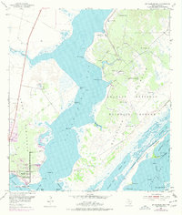
1952 Map of St. Charles Bay
USGS Topo · Published 1977About this map
Blackjack Peninsula and the Lamar Peninsula frame the coastal landscape of St. Charles Bay in this mid-century topographic record. The map details the expansive Aransas National Wildlife Refuge, where complex waterways like Big Devil Bayou and Little Devil Bayou snake through low-lying marshlands. Along the southwestern shoreline, the settlement of Lamar is marked by local landmarks including the Lamar Cem and the Star of the Sea Chapel.
Find a feature on this map
53 named features on this map. Tap any name to fly to it.
Don’t see what you’re looking for? This feature index may not catch every label — zoom into the map to look around manually.
Map Details
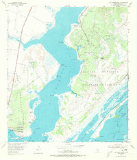
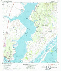
Editions of this 1952 St. Charles Bay Map
4 editions found
Other maps of this area

1952 · St. Charles Bay SW
USGS Topo · 1:24,000

1952 · St. Charles Bay
USGS Topo · 1:24,000

1952 · Mesquite Bay
USGS Topo · 1:24,000

1952 · Tivoli SE
USGS Topo · 1:24,000

1952 · Tivoli SW
USGS Topo · 1:24,000

1952 · St. Charles Bay SE
USGS Topo · 1:24,000

1953 · Beeville
USGS Topo · 1:250,000

1954 · Rockport
USGS Topo · 1:62,500

1954 · Vidaurri
USGS Topo · 1:62,500

1956 · Beeville
USGS Topo · 1:250,000