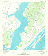
1952 Map of St. Charles Bay
USGS Topo · Published 1973About this map
Aransas National Wildlife Refuge and the Blackjack Peninsula dominate this coastal survey, where the intricate margins of St. Charles Bay meet the Texas Gulf. The landscape is defined by the convergence of several major water bodies, including Aransas Bay, Dunham Bay, and Mesquite Bay. The map documents a sparse, working coastal environment characterized by numerous windmills like the Alamos Windmill and Ratama Windmill, alongside early energy development indicated by scattered Gas Wells. Near the southern tip of the Lamar Peninsula, the Star of the Sea Chapel and Lamar Cem represent the local community adjacent to Goose Island State Park. Navigational markers along the Intracoastal Waterway and various points like Melle Dietrich Point and Indian Head Point trace the era's reliance on coastal transport and natural landmarks.
Find a feature on this map
56 named features on this map. Tap any name to fly to it.
Don’t see what you’re looking for? This feature index may not catch every label — zoom into the map to look around manually.
Map Details
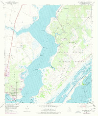
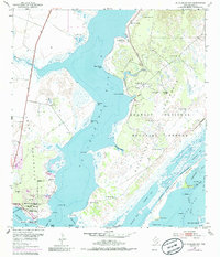
Editions of this 1952 St. Charles Bay Map
4 editions found
Other maps of this area

1952 · St. Charles Bay SW
USGS Topo · 1:24,000

1952 · St. Charles Bay
USGS Topo · 1:24,000

1952 · Mesquite Bay
USGS Topo · 1:24,000

1952 · Tivoli SE
USGS Topo · 1:24,000

1952 · Tivoli SW
USGS Topo · 1:24,000

1952 · St. Charles Bay SE
USGS Topo · 1:24,000

1953 · Beeville
USGS Topo · 1:250,000

1954 · Rockport
USGS Topo · 1:62,500

1954 · Vidaurri
USGS Topo · 1:62,500

1956 · Beeville
USGS Topo · 1:250,000