
1952 Map of St. Charles Bay SE
USGS Topo · Published 1954About this map
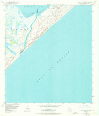
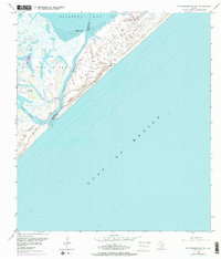
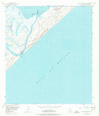
Matagorda Island and St Joseph Island are separated by the narrow passage of Cedar Bayou in this mid-century topographic record of the Texas coast. The landscape is defined by dynamic coastal features, including shifting Sand Dunes and extensive Mud Flats that reach into Mesquite Bay. This survey captures the isolation of the barrier islands before significant modern development, showing the transition from the Aransas County and Calhoun County line across the waters of the Gulf of Mexico. Scattered Windmills and a lone Oil Well suggest a sparse industrial and agricultural footprint, while the Wynne Ranch stands as a primary landmark in the northern reaches of Matagorda Island. Researchers can trace the natural shoreline of Vinson Slough and the prominent Cedar Point during a period of active aerial and plane-table mapping.
Find a feature on this map
15 named features on this map. Tap any name to fly to it.
Don’t see what you’re looking for? This feature index may not catch every label — zoom into the map to look around manually.
Map Details
Editions of this 1952 St. Charles Bay SE Map
4 editions found
Other maps of this area

1950 · Corpus Christi
USGS Topo · 1:250,000

1951 · Allyns Bight
USGS Topo · 1:24,000

1952 · St. Charles Bay SW
USGS Topo · 1:24,000

1952 · St. Charles Bay
USGS Topo · 1:24,000

1952 · Mesquite Bay
USGS Topo · 1:24,000

1952 · Panther Point
USGS Topo · 1:24,000

1953 · Beeville
USGS Topo · 1:250,000

1956 · Corpus Christi
USGS Topo · 1:250,000

1956 · Beeville
USGS Topo · 1:250,000

1960 · Beeville
USGS Topo · 1:250,000