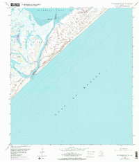
1952 Map of St. Charles Bay SE
USGS Topo · Published 1976About this map
Matagorda Island and San Jose Island dominate this coastal survey, separated by the narrow passage of Cedar Bayou which also serves as the boundary between Aransas and Calhoun counties. The landscape is defined by dynamic coastal features, including shifting Sand Dunes and expansive Mud Flats that reach into Mesquite Bay. Human activity is concentrated around the Wynne Ranch, which sits near the American Liberty Oil Co Airport, indicating the mid-century intersection of traditional Texas ranching and the growing petroleum industry. Scattered Windmill markers and a lonely Oil Well highlight the reliance on groundwater and resource extraction in this environment. To the south, Vinson Slough snakes through the flats toward the open Gulf of Mexico, providing a detailed look at the hydrology of the Texas barrier island system before later 20th-century developments altered these coastal reaches.
Find a feature on this map
16 named features on this map. Tap any name to fly to it.
Don’t see what you’re looking for? This feature index may not catch every label — zoom into the map to look around manually.
Map Details
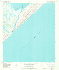
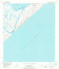
Editions of this 1952 St. Charles Bay SE Map
4 editions found
Other maps of this area

1950 · Corpus Christi
USGS Topo · 1:250,000

1951 · Allyns Bight
USGS Topo · 1:24,000

1952 · St. Charles Bay SW
USGS Topo · 1:24,000

1952 · St. Charles Bay
USGS Topo · 1:24,000

1952 · Mesquite Bay
USGS Topo · 1:24,000

1952 · Panther Point
USGS Topo · 1:24,000

1952 · St. Charles Bay SE
USGS Topo · 1:24,000

1953 · Beeville
USGS Topo · 1:250,000

1956 · Corpus Christi
USGS Topo · 1:250,000

1956 · Beeville
USGS Topo · 1:250,000