
1952 Map of Panther Point
USGS Topo · Published 1953About this map
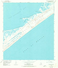
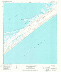
Matagorda Island serves as a stark landscape of military utility and coastal wilderness in this early 1950s survey. The map is dominated by the Matagorda Island Bombing and Gunnery Range, defined by a clear Range Boundary that cordons off the interior of the barrier island. This area, located between the Gulf of Mexico and San Antonio Bay, reveals a complex system of shallow water bodies including Panther Point Lake, Swan Lake, and Cedar Lake. The transition from the sandy gulf beach to the marshy bay side is marked by features like Panther Reef and extensive Mud Flat areas, illustrating the island's role as a protective buffer for the mainland. Windmills and small pipes noted on the bay side suggest limited grazing or resource activity prior to or alongside the range's establishment.
Find a feature on this map
14 named features on this map. Tap any name to fly to it.
Don’t see what you’re looking for? This feature index may not catch every label — zoom into the map to look around manually.
Map Details
Editions of this 1952 Panther Point Map
Other maps of this area

1952 · Mosquito Point
USGS Topo · 1:24,000

1952 · Long Island
USGS Topo · 1:24,000

1952 · Mesquite Bay
USGS Topo · 1:24,000

1952 · Tivoli SE
USGS Topo · 1:24,000
1952 · Panther Point NE
USGS Topo · 1:24,000

1952 · St. Charles Bay SE
USGS Topo · 1:24,000

1953 · Beeville
USGS Topo · 1:250,000

1956 · Beeville
USGS Topo · 1:250,000

1960 · Beeville
USGS Topo · 1:250,000
1983 · San Antonio Bay
USGS Topo · 1:100,000