
1952 Map of Long Island
USGS Topo · Published 1953About this map
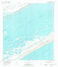
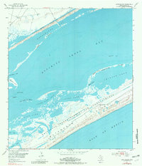
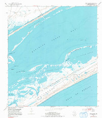
Matagorda Island serves as the dominant landmass in this coastal Texas survey, defined largely by the presence of the Matagorda Island Bombing and Gunnery Range. This military designation contrasts with the intricate natural shoreline along Santo Espiritu Bay, where a complex network of lagoons and marshes includes Pringle Lake, Contee Lake, and South Pass Lake. The transition from the open waters of the Gulf of Mexico to the protected inland waters is marked by narrow openings like Steamboat Pass and South Pass.
Find a feature on this map
21 named features on this map. Tap any name to fly to it.
Don’t see what you’re looking for? This feature index may not catch every label — zoom into the map to look around manually.
Map Details
Editions of this 1952 Long Island Map
4 editions found
Other maps of this area

1952 · Mosquito Point
USGS Topo · 1:24,000

1952 · Pass Cavallo SW
USGS Topo · 1:24,000

1952 · Seadrift NE
USGS Topo · 1:24,000

1952 · Panther Point
USGS Topo · 1:24,000

1952 · Seadrift
USGS Topo · 1:24,000
1952 · Panther Point NE
USGS Topo · 1:24,000

1952 · Port O'Connor
USGS Topo · 1:24,000

1953 · Beeville
USGS Topo · 1:250,000

1956 · Beeville
USGS Topo · 1:250,000

1960 · Beeville
USGS Topo · 1:250,000