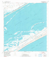
1952 Map of Long Island
USGS Topo · Published 1991About this map
Matagorda Island Bombing and Gunnery Range occupies a significant portion of this coastal landscape, reflecting the military's strategic use of the Texas barrier islands during the mid-20th century. This 1952 topographic survey details the intricate estuarine environment of Espiritu Santo Bay and the critical maritime artery of the Intracoastal Waterway. The map captures the complex system of lagoons and wetlands, including Pringle Lake, South Pass Lake, and Contee Lake, which are separated from the Gulf of Mexico by the narrow strip of Matagorda Island. Navigation through these shallow waters is marked by features like Steamboat Pass and South Pass, while landforms such as Long Island and the First Chain of Islands illustrate the shifting sands of the Gulf Coast. Isolated landmarks like a Windmill and a Dock on the mainland edge provide sparse evidence of human activity in this tidal wilderness.
Find a feature on this map
27 named features on this map. Tap any name to fly to it.
Don’t see what you’re looking for? This feature index may not catch every label — zoom into the map to look around manually.
Map Details
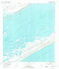
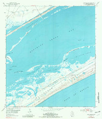
Editions of this 1952 Long Island Map
4 editions found
Other maps of this area

1952 · Mosquito Point
USGS Topo · 1:24,000

1952 · Pass Cavallo SW
USGS Topo · 1:24,000

1952 · Long Island
USGS Topo · 1:24,000

1952 · Seadrift NE
USGS Topo · 1:24,000

1952 · Panther Point
USGS Topo · 1:24,000

1952 · Seadrift
USGS Topo · 1:24,000
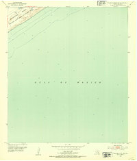
1952 · Panther Point NE
USGS Topo · 1:24,000

1952 · Port O'Connor
USGS Topo · 1:24,000

1953 · Beeville
USGS Topo · 1:250,000

1956 · Beeville
USGS Topo · 1:250,000