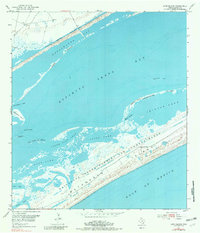
1952 Map of Long Island
USGS Topo · Published 1981About this map
Matagorda Island serves as the dominant barrier between the Gulf of Mexico and the shallow estuarine systems of the Texas coast. This 1952 topography, photoinspected in the early 1970s, reveals a landscape defined by military utility and maritime transit. A significant portion of the barrier is occupied by the Matagorda Island Bombing and Gunnery Range, while the Intracoastal Waterway cuts a straight line through the mud flats and shoals of Espiritu Santo Bay. The complex hydrology of the area is mapped through a series of interconnected water bodies including Pringle Lake, Contee Lake, and South Pass Lake. These shallow lakes and narrow channels like Steamboat Pass illustrate the shifting, silt-heavy environment of the coastal marshes, where features like Josephine Reef and the First Chain of Islands provide the only breaks in the open water.
Find a feature on this map
26 named features on this map. Tap any name to fly to it.
Don’t see what you’re looking for? This feature index may not catch every label — zoom into the map to look around manually.
Map Details
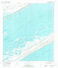
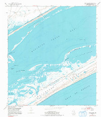
Editions of this 1952 Long Island Map
4 editions found
Other maps of this area

1952 · Mosquito Point
USGS Topo · 1:24,000

1952 · Pass Cavallo SW
USGS Topo · 1:24,000

1952 · Long Island
USGS Topo · 1:24,000

1952 · Seadrift NE
USGS Topo · 1:24,000

1952 · Panther Point
USGS Topo · 1:24,000

1952 · Seadrift
USGS Topo · 1:24,000
1952 · Panther Point NE
USGS Topo · 1:24,000

1952 · Port O'Connor
USGS Topo · 1:24,000

1953 · Beeville
USGS Topo · 1:250,000

1956 · Beeville
USGS Topo · 1:250,000