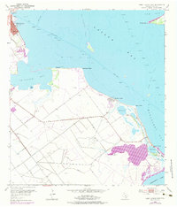
1952 Map of Port Lavaca East
USGS Topo · Published 1983About this map
Port Lavaca and the coastal reaches of Matagorda Bay define this 1952 study, which captures the industrial and maritime character of the Texas shoreline before significant modern expansion. The map detail highlights the legacy of older settlements along the water's edge, including Alamo Beach and Magnolia Beach. A prominent Historical Monument and the Indianola Cem on Indianola Island mark the site of the vanished port of Indianola, once a primary gateway to Texas before its destruction by 19th-century hurricanes. Inland, the landscape is crisscrossed by an extensive Levee system and dotted with numerous Oil Wells, illustrating the mid-century petroleum economy. Coastal geography is meticulously charted, from the hazards of Gallinipper Reef to the quiet waters of Chocolate Bay and Mud Lake, providing a clear record of the shifting Gulf Coast environment.
Find a feature on this map
26 named features on this map. Tap any name to fly to it.
Don’t see what you’re looking for? This feature index may not catch every label — zoom into the map to look around manually.
Map Details
Editions of this 1952 Port Lavaca East Map
4 editions found
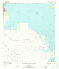
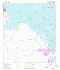
Other maps of this area

1951 · Keller Bay
USGS Topo · 1:24,000

1952 · Port Lavaca East
USGS Topo · 1:24,000

1952 · Point Comfort
USGS Topo · 1:24,000

1952 · Olivia
USGS Topo · 1:24,000

1952 · Kamey
USGS Topo · 1:24,000

1952 · Seadrift NE
USGS Topo · 1:24,000

1952 · Seadrift
USGS Topo · 1:24,000

1952 · Port Lavaca West
USGS Topo · 1:24,000

1952 · Port O'Connor
USGS Topo · 1:24,000

1953 · Beeville
USGS Topo · 1:250,000