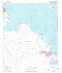
1952 Map of Port Lavaca East
USGS Topo · Published 1977About this map
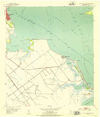
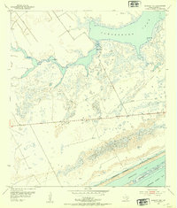
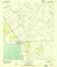
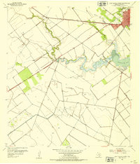
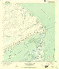
Port Lavaca and its coastal neighbors anchor this mid-century survey of the Texas shoreline. The map documents a landscape defined by the convergence of Lavaca Bay, Chocolate Bay, and Matagorda Bay. Inland, the economy of the era is evident through numerous oil wells, the Landing Field, and several Shell Pits. Along the coast, the tiny coastal communities of Alamo Beach and Magnolia Beach sit near significant geographic markers like Gallinipper Point and Indian Point. Of particular interest to local historians is the site of the Historical Monument and the Indianola Cem on Indianola Island, preserving the legacy of a settlement famously impacted by the elements. The intricate network of levee structures further illustrates the ongoing human effort to manage the low-lying terrain between Old Town Lake and the vast bay systems.
Find a feature on this map
23 named features on this map. Tap any name to fly to it.
Don’t see what you’re looking for? This feature index may not catch every label — zoom into the map to look around manually.
Map Details
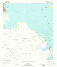
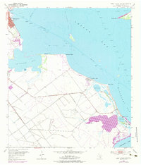
Editions of this 1952 Port Lavaca East Map
4 editions found
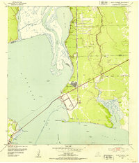
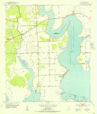
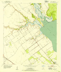
Other maps of this area
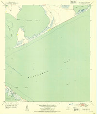
1951 · Keller Bay
USGS Topo · 1:24,000
1952 · Port Lavaca East
USGS Topo · 1:24,000
1952 · Point Comfort
USGS Topo · 1:24,000
1952 · Olivia
USGS Topo · 1:24,000
1952 · Kamey
USGS Topo · 1:24,000
1952 · Seadrift NE
USGS Topo · 1:24,000
1952 · Seadrift
USGS Topo · 1:24,000
1952 · Port Lavaca West
USGS Topo · 1:24,000
1952 · Port O'Connor
USGS Topo · 1:24,000

1953 · Beeville
USGS Topo · 1:250,000