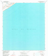
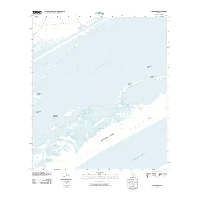
1952 Map of Panther Point NE
USGS Topo · Published 1991About this map
Matagorda Island and the expansive Gulf of Mexico dominate this coastal landscape during the mid-century era. The barrier island terrain is defined by its military utility, specifically as the Matagorda Island Bombing and Gunnery Range, reflecting the strategic importance of the Texas coast during and after World War II. A lone Windmill stands on the island's interior, a small mark of earlier ranching life that predates the military's use of the land.
Find a feature on this map
8 named features on this map. Tap any name to fly to it.
Don’t see what you’re looking for? This feature index may not catch every label — zoom into the map to look around manually.
Map Details
Editions of this 1952 Panther Point NE Map
Other maps of this area

1952 · Mosquito Point
USGS Topo · 1:24,000

1952 · Pass Cavallo SW
USGS Topo · 1:24,000

1952 · Long Island
USGS Topo · 1:24,000

1952 · Panther Point
USGS Topo · 1:24,000
1952 · Panther Point NE
USGS Topo · 1:24,000

1953 · Beeville
USGS Topo · 1:250,000

1956 · Beeville
USGS Topo · 1:250,000

1960 · Beeville
USGS Topo · 1:250,000
1983 · San Antonio Bay
USGS Topo · 1:100,000
2010 · Long Island
USGS Topo · 1:24,000