
1952 Map of Austwell
USGS Topo · Published 1953About this map
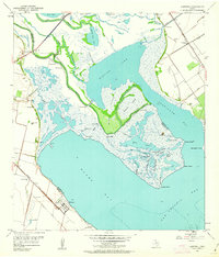
Austwell sits at the southwestern edge of this coastal survey, where the Missouri Pacific railroad tracks terminate near the Austwell Cem. The landscape is dominated by the intricate confluence of the Guadalupe River and Mission Lake, a deltaic environment of bayous, sloughs, and marshes before they open into the wide waters of Hynes Bay and San Antonio Bay.
Find a feature on this map
45 named features on this map. Tap any name to fly to it.
Don’t see what you’re looking for? This feature index may not catch every label — zoom into the map to look around manually.
Map Details
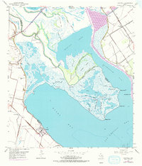
Editions of this 1952 Austwell Map
Other maps of this area

1952 · Mosquito Point
USGS Topo · 1:24,000

1952 · Tivoli
USGS Topo · 1:24,000

1952 · Bloomington SW
USGS Topo · 1:24,000

1952 · Tivoli SE
USGS Topo · 1:24,000

1952 · Seadrift
USGS Topo · 1:24,000

1952 · Port Lavaca West
USGS Topo · 1:24,000

1952 · Tivoli SW
USGS Topo · 1:24,000

1952 · Green Lake
USGS Topo · 1:24,000

1953 · Beeville
USGS Topo · 1:250,000

1956 · Beeville
USGS Topo · 1:250,000