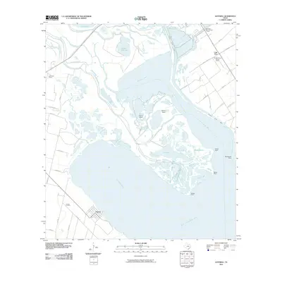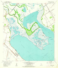
1952 Map of Austwell
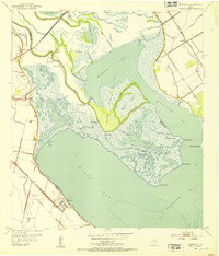
USGS Topo · Published 1963About this map
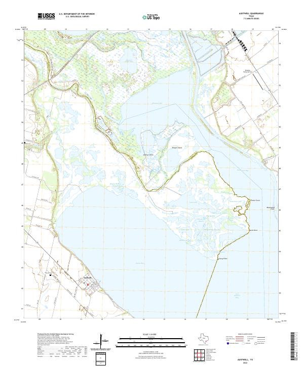
The coastal marshlands of the Texas Gulf Coast come into sharp focus near the settlement of Austwell, where the Missouri Pacific railroad cuts across the low-lying prairie. This mid-century landscape is defined by the intricate delta where the Guadalupe River splits into the North Guadalupe River and South Guadalupe River, feeding into the expansive Mission Lake. The geography is a labyrinth of brackish waterways and family-named landmarks like Schwing's Slough and Mamie Bayou, reflecting an era of intricate water management and agricultural drainage.
Find a feature on this map
43 named features on this map. Tap any name to fly to it.
Don’t see what you’re looking for? This feature index may not catch every label — zoom into the map to look around manually.
Map Details
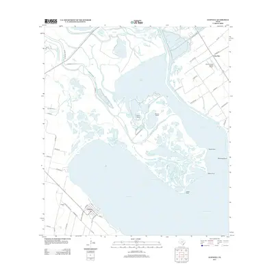
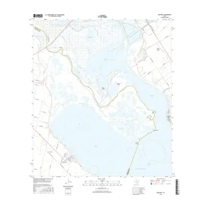
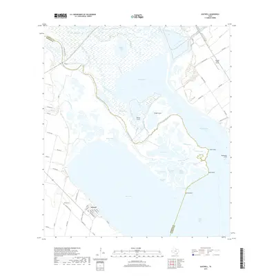
Editions of this 1952 Austwell Map
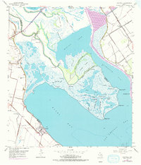
Historical Maps of Austwell Through Time
6 maps found