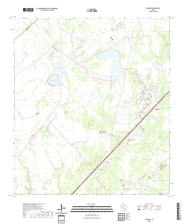
2022 Map of Vidaurri
USGS Topo · Published 2022About this map
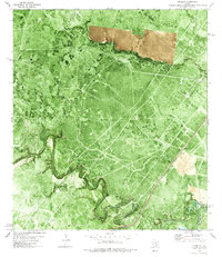
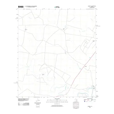
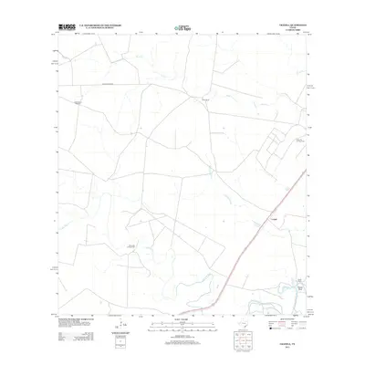
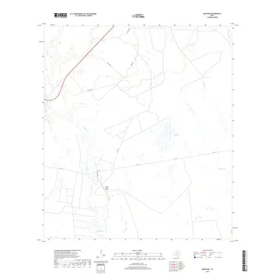
Vidaurri sits along the primary rail and road corridor through the coastal plains of Refugio County, marking a distinct point of settlement in a landscape defined by seasonal wetlands and drainage systems. The surrounding terrain is characterized by the flow of Cottonwood Hollow and the notable catchments of North Saint Nicholas Lake and South Saint Nicholas Lake, which dominate the central-north section of the sheet. To the south and west, the hydrology is shaped by Melon Cr and Copano Cr, illustrating the network of creeks that feed toward the Texas coast. Local transit and land access are defined by rural routes like Vidaurri Rd, Hawk Rd, and Henderson Ln, which connect the small settlement to the broader ranching and agricultural outskirts. The boundary between Goliad Co and Refugio Co cuts across the northwest corner, showing the administrative divisions that define property and local history in this part of the state.
Find a feature on this map
10 named features on this map. Tap any name to fly to it.
Don’t see what you’re looking for? This feature index may not catch every label — zoom into the map to look around manually.
Map Details
Editions of this 2022 Vidaurri Map
This is the sole edition of this map. No revisions or reprints were ever made.
Historical Maps of Vidaurri Through Time
49 maps found
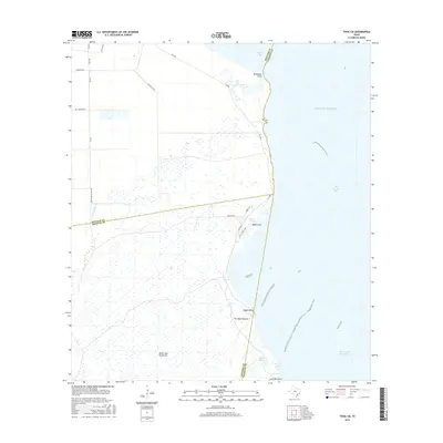
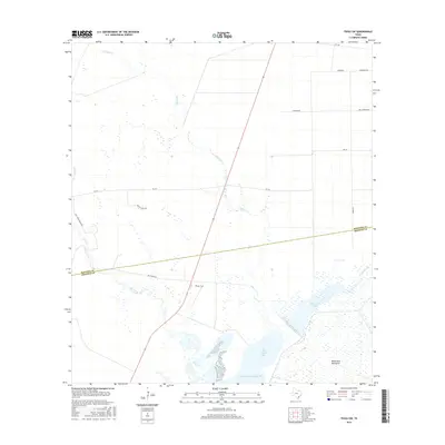
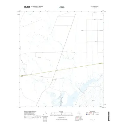
1952 Tivoli SE
Refugio County, TX
1952 Tivoli SW
Refugio County, TX
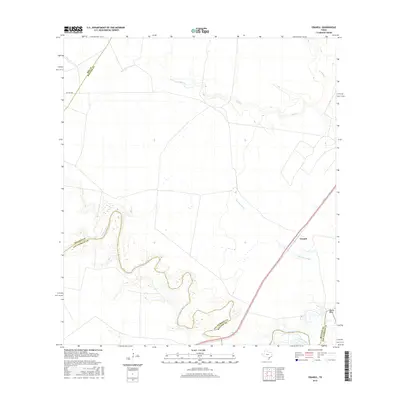
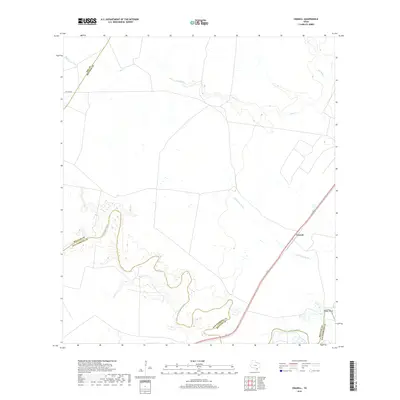
1954 Vidaurri
Refugio County, TX
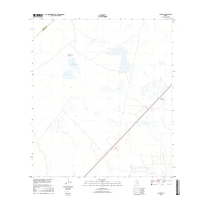
1978 Cranell
Refugio County, TX
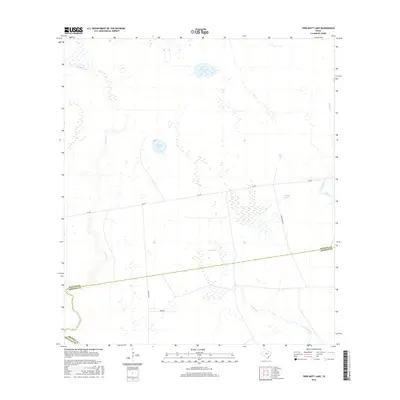
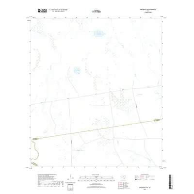
1978 Twin Mott Lake
Refugio County, TX
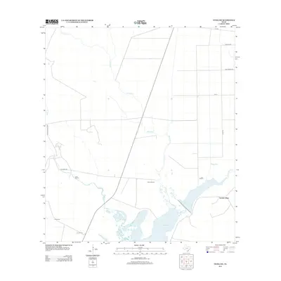
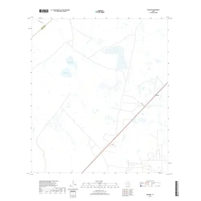
1978 Vidaurri
Refugio County, TX
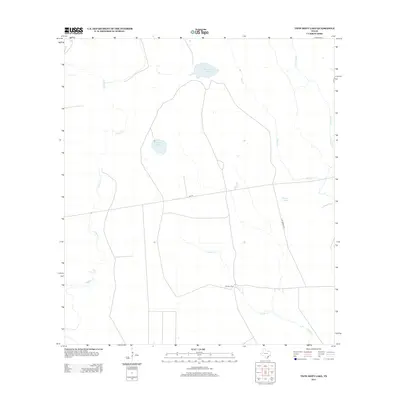
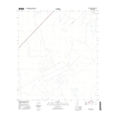
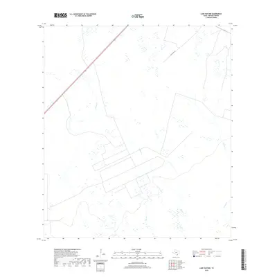
1979 Lake Pasture
Refugio County, TX
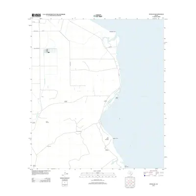
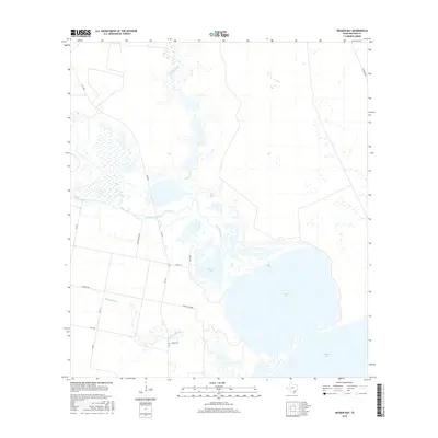
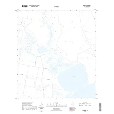
1979 Mission Bay
Refugio County, TX
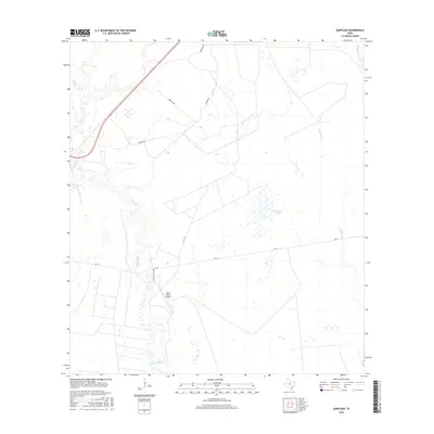
1979 Quintana
Refugio County, TX
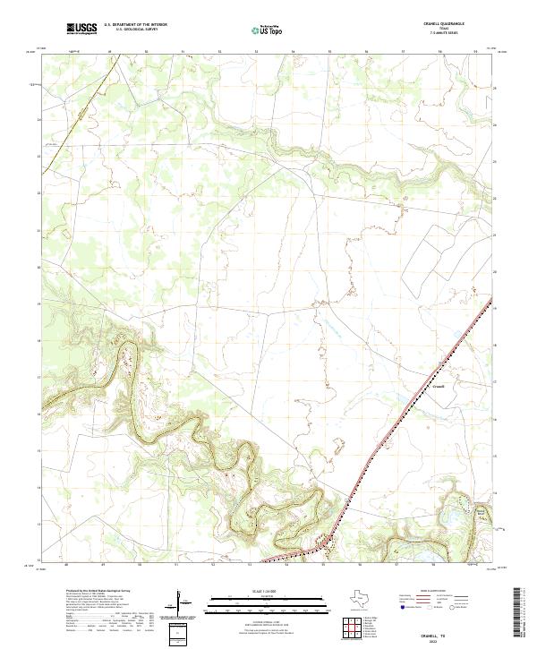
2010 Cranell
Refugio County, TX
2010 Lake Pasture
Refugio County, TX

2010 Mission Bay
Refugio County, TX
2010 Quintana
Refugio County, TX
2010 Tivoli SE
Refugio County, TX
2010 Tivoli SW
Refugio County, TX
2010 Twin Mott Lake
Refugio County, TX

2010 Vidaurri
Refugio County, TX
2013 Cranell
Refugio County, TX
2013 Lake Pasture
Refugio County, TX
2013 Mission Bay
Refugio County, TX
2013 Quintana
Refugio County, TX
2013 Tivoli SE
Refugio County, TX
2013 Tivoli SW
Refugio County, TX
2013 Twin Mott Lake
Refugio County, TX

2013 Vidaurri
Refugio County, TX
2016 Cranell
Refugio County, TX
2016 Lake Pasture
Refugio County, TX
2016 Mission Bay
Refugio County, TX
2016 Quintana
Refugio County, TX
2016 Tivoli SE
Refugio County, TX
2016 Tivoli SW
Refugio County, TX
2016 Twin Mott Lake
Refugio County, TX
2016 Vidaurri
Refugio County, TX
2019 Cranell
Refugio County, TX
2019 Lake Pasture
Refugio County, TX
2019 Mission Bay
Refugio County, TX
2019 Quintana
Refugio County, TX
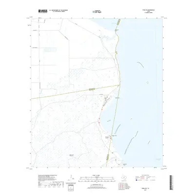
2019 Tivoli SE
Refugio County, TX
2019 Tivoli SW
Refugio County, TX
2019 Twin Mott Lake
Refugio County, TX
2019 Vidaurri
Refugio County, TX
2022 Cranell
Refugio County, TX
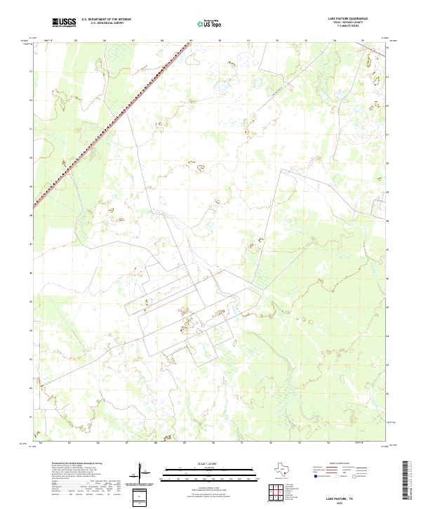
2022 Lake Pasture
Refugio County, TX
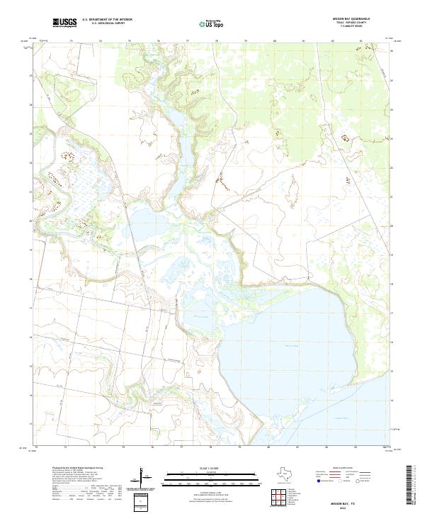
2022 Mission Bay
Refugio County, TX
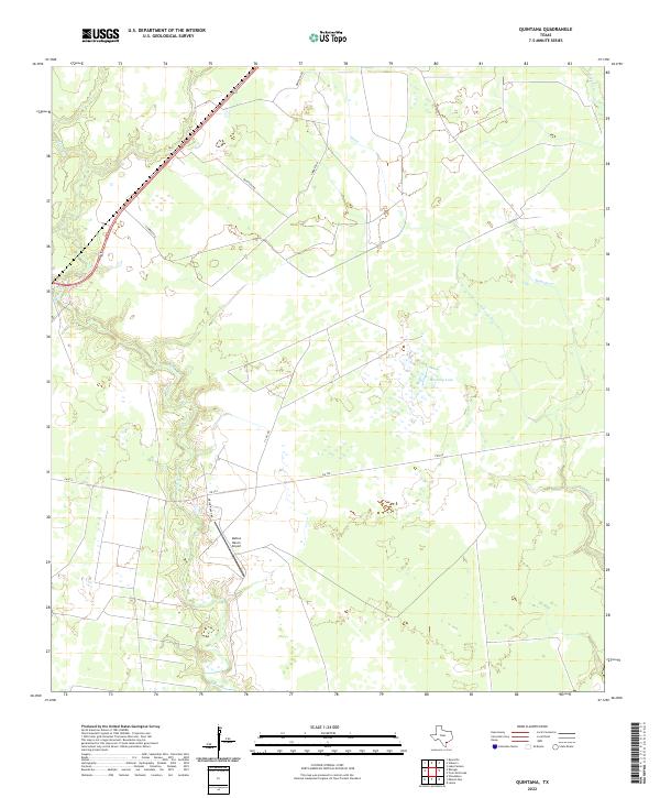
2022 Quintana
Refugio County, TX
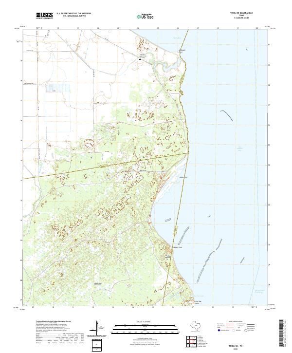
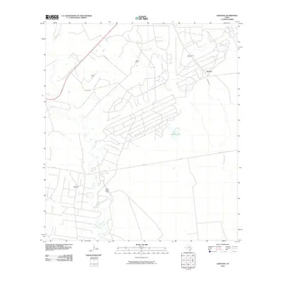
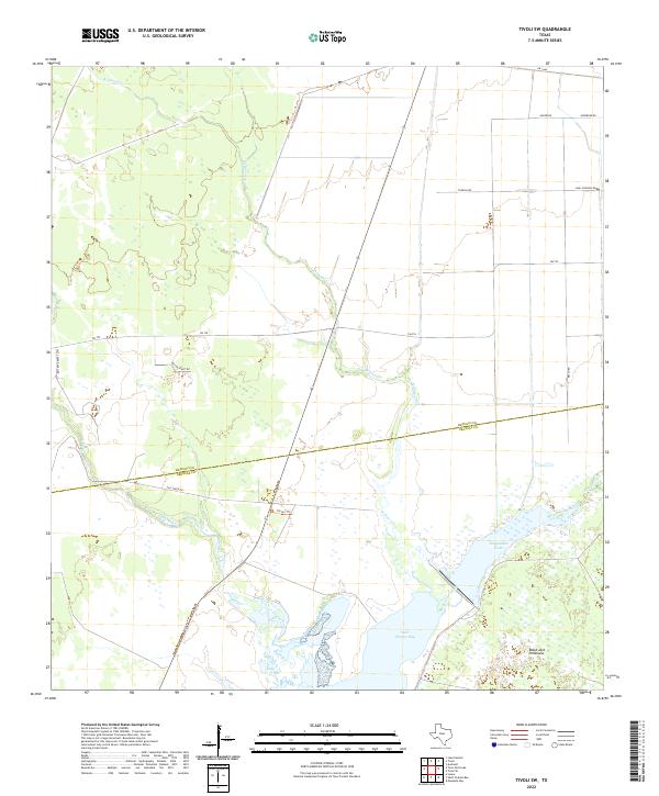
2022 Tivoli SE
Refugio County, TX
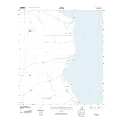
2022 Tivoli SW
Refugio County, TX
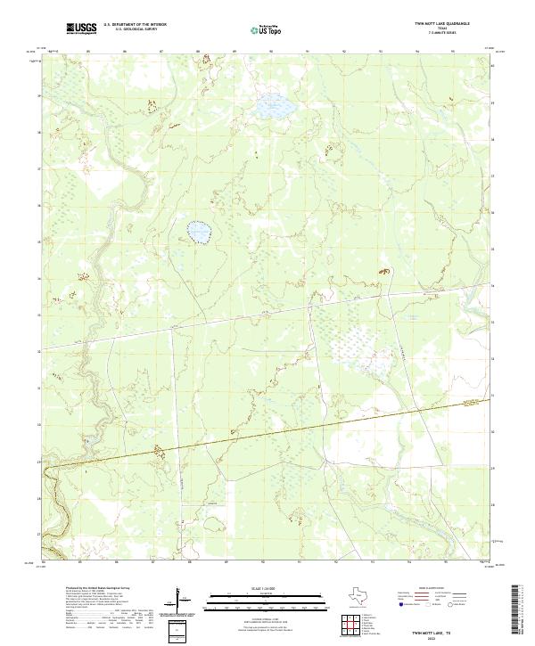
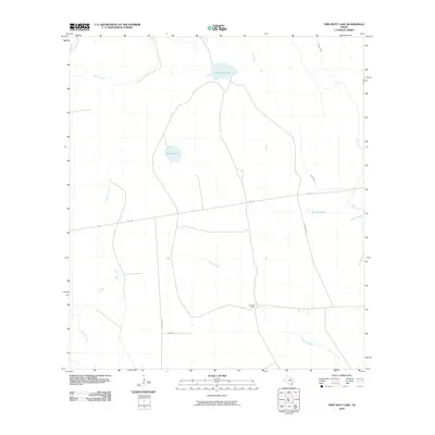
2022 Twin Mott Lake
Refugio County, TX
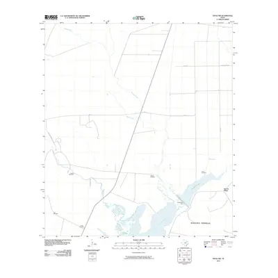
2022 Vidaurri
Refugio County, TX