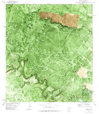
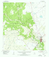
1978 Map of Cranell
USGS Topo · Published 1979About this map
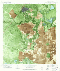
The Aransas River defines the southern boundary of this landscape, meandering through a series of dramatic loops including Javelina Bend and Rooke Bend. This 1970s orthophotographic survey captures the rural character of Refugio and San Patricio counties, where the industrial presence of the Encino Oil and Gas Field and various pipelines intersects with traditional ranching operations. The small settlement of Cranell sits along the Missouri Pacific railroad line, serving as a focal point for transport in an area otherwise characterized by water features like Chocolate Swale and Sous Creek. Family-named landmarks such as Rooke Ranch and Alders Camp Windmill provide specific points of interest for genealogists tracing local land holdings. The map also records early roadside infrastructure, notably the Roadside Park located just north of the Cranell junction.
Find a feature on this map
24 named features on this map. Tap any name to fly to it.
Don’t see what you’re looking for? This feature index may not catch every label — zoom into the map to look around manually.
Map Details
Editions of this 1978 Cranell Map
This is the sole edition of this map. No revisions or reprints were ever made.
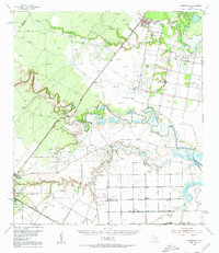
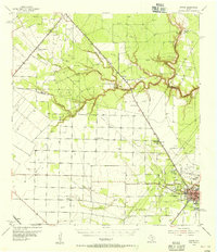
Other maps of this area

1953 · Beeville
USGS Topo · 1:250,000
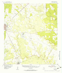
1954 · Skidmore
USGS Topo · 1:62,500
1954 · Woodsboro
USGS Topo · 1:62,500
1954 · Sinton
USGS Topo · 1:62,500
1954 · Refugio
USGS Topo · 1:62,500

1956 · Beeville
USGS Topo · 1:250,000

1960 · Beeville
USGS Topo · 1:250,000
1978 · Woodsboro
USGS Topo · 1:24,000
1978 · Refugio SW
USGS Topo · 1:24,000
1979 · Burkes Ridge
USGS Topo · 1:24,000