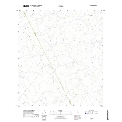
1978 Map of Refugio SW
USGS Topo · Published 1991About this map
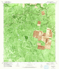
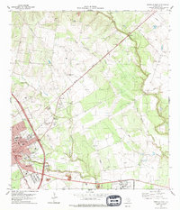
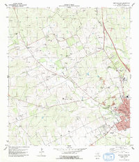
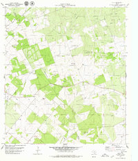
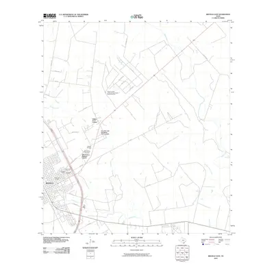
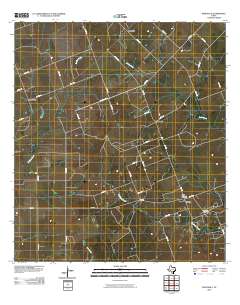
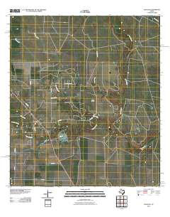
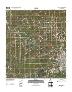
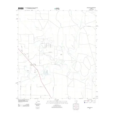
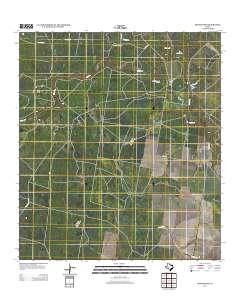
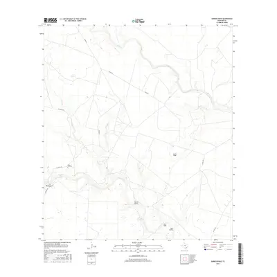
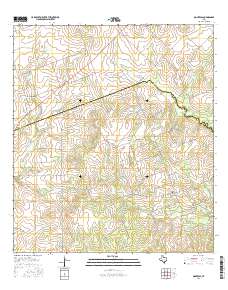
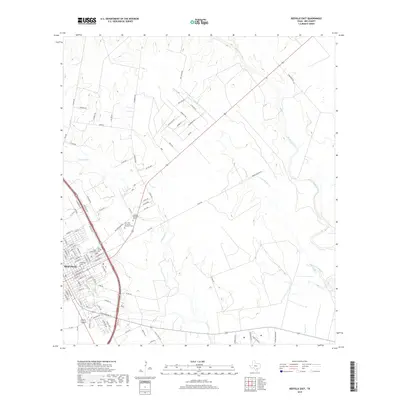
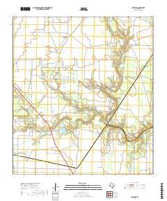
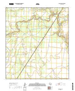
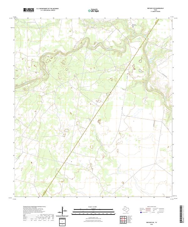
The Blanconia Oil Field and the adjacent South Blanconia Oil Field dominate this 1970s orthophotomap, illustrating the heavy energy infrastructure that defines the rural landscape at the border of Bee and Refugio counties. Photogrammetric methods from 1972 aerial photography reveal a complex network of pipelines and extraction sites interspersed with agricultural plots and natural drainages. Waterways such as Medio Creek and Neddy Creek meander through the terrain, while the inclusion of a Flowing Well and a small Cem near the northern boundary provides localized points of interest for genealogists and researchers. The hybrid map format preserves the visual texture of the fields and scrubland, showing how industrial development carved paths across the Texas coastal plain during this era of domestic oil production.
Find a feature on this map
13 named features on this map. Tap any name to fly to it.
Don’t see what you’re looking for? This feature index may not catch every label — zoom into the map to look around manually.
Map Details
Editions of this 1978 Refugio SW Map
This is the sole edition of this map. No revisions or reprints were ever made.
Historical Maps of Bee County Through Time
67 maps found
1954 Fleming
Bee County, TX
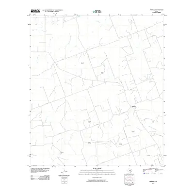
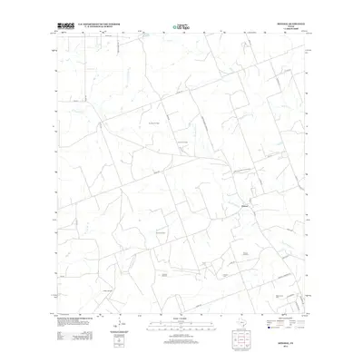
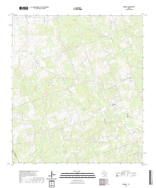
1963 Mineral
Bee County, TX
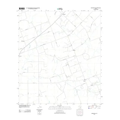
1963 Monteola
Bee County, TX
1978 Refugio SW
Bee County, TX
1979 Beeville East
Bee County, TX
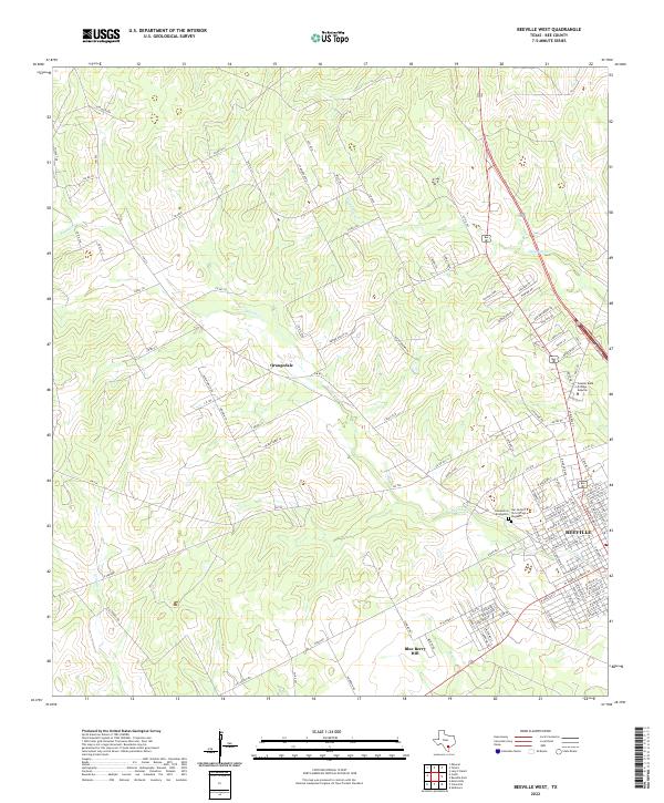
1979 Beeville West
Bee County, TX
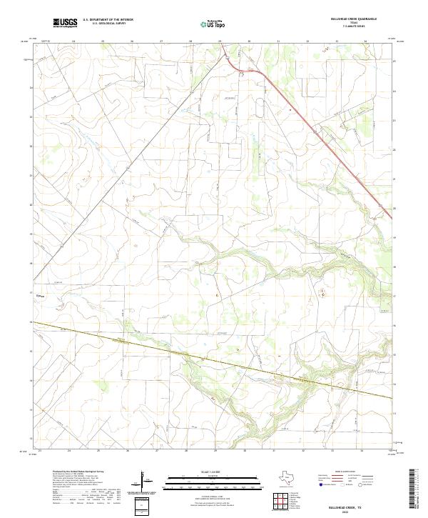
1979 Bullshead Creek
Bee County, TX
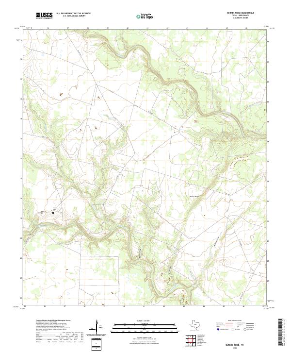
1979 Burkes Ridge
Bee County, TX
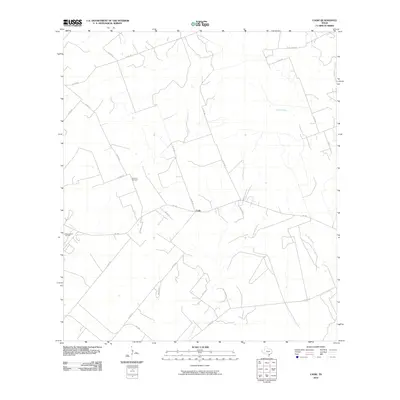
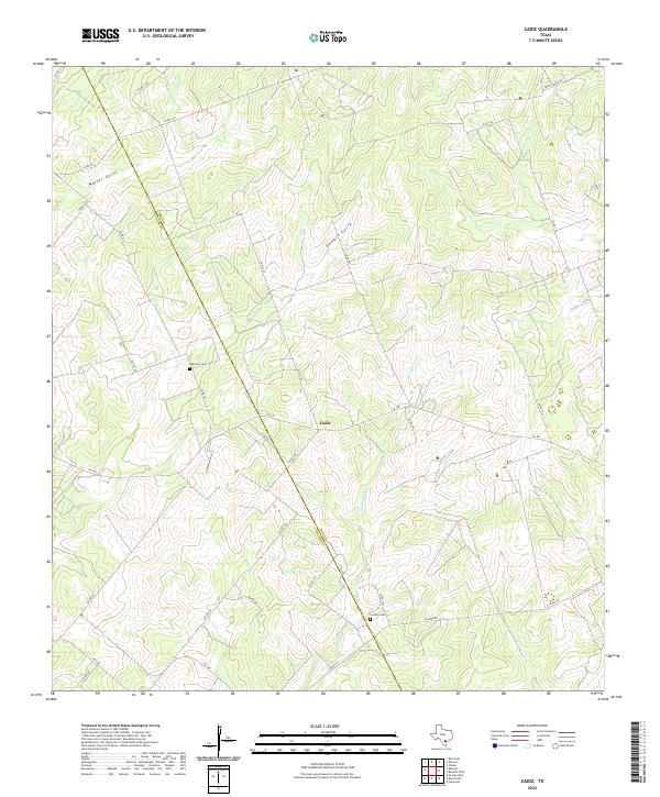
1979 Cadiz
Bee County, TX
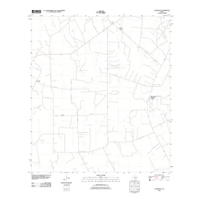
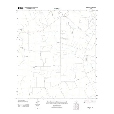
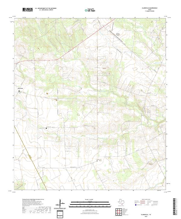
1979 Clareville
Bee County, TX
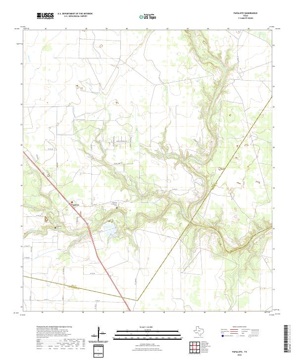
1979 Papalote
Bee County, TX
1979 Skidmore NE
Bee County, TX
2010 Beeville East
Bee County, TX
2010 Beeville West
Bee County, TX
2010 Bullshead Creek
Bee County, TX
2010 Burkes Ridge
Bee County, TX
2010 Cadiz
Bee County, TX
2010 Clareville
Bee County, TX
2010 Mineral
Bee County, TX
2010 Monteola
Bee County, TX
2010 Papalote
Bee County, TX
2010 Refugio SW
Bee County, TX
2010 Skidmore NE
Bee County, TX
2013 Beeville East
Bee County, TX
2013 Beeville West
Bee County, TX
2013 Bullshead Creek
Bee County, TX
2013 Burkes Ridge
Bee County, TX
2013 Cadiz
Bee County, TX
2013 Clareville
Bee County, TX
2013 Mineral
Bee County, TX
2013 Monteola
Bee County, TX
2013 Papalote
Bee County, TX
2013 Refugio SW
Bee County, TX
2013 Skidmore NE
Bee County, TX

2016 Beeville East
Bee County, TX
2016 Beeville West
Bee County, TX
2016 Bullshead Creek
Bee County, TX
2016 Burkes Ridge
Bee County, TX
2016 Cadiz
Bee County, TX
2016 Clareville
Bee County, TX
2016 Mineral
Bee County, TX
2016 Monteola
Bee County, TX
2016 Papalote
Bee County, TX
2016 Refugio SW
Bee County, TX
2016 Skidmore NE
Bee County, TX
2019 Beeville East
Bee County, TX
2019 Beeville West
Bee County, TX
2019 Bullshead Creek
Bee County, TX
2019 Burkes Ridge
Bee County, TX
2019 Cadiz
Bee County, TX
2019 Clareville
Bee County, TX
2019 Mineral
Bee County, TX
2019 Monteola
Bee County, TX
2019 Papalote
Bee County, TX
2019 Refugio SW
Bee County, TX
2019 Skidmore NE
Bee County, TX
2022 Beeville East
Bee County, TX
2022 Beeville West
Bee County, TX
2022 Bullshead Creek
Bee County, TX
2022 Burkes Ridge
Bee County, TX
2022 Cadiz
Bee County, TX
2022 Clareville
Bee County, TX
2022 Mineral
Bee County, TX
2022 Monteola
Bee County, TX
2022 Papalote
Bee County, TX
2022 Refugio SW
Bee County, TX
2022 Skidmore NE
Bee County, TX